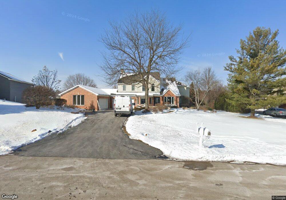
35W635 Parsons Rd Unit 2 Dundee, IL 60118
Estimated Value: $636,407 - $815,000
3
Beds
--
Bath
4,218
Sq Ft
$180/Sq Ft
Est. Value
About This Home
This home is located at 35W635 Parsons Rd Unit 2, Dundee, IL 60118 and is currently estimated at $758,102, approximately $179 per square foot. 35W635 Parsons Rd Unit 2 is a home located in Kane County with nearby schools including Liberty Elementary School, Dundee Middle School, and Harry D Jacobs High School.
Ownership History
Date
Name
Owned For
Owner Type
Purchase Details
Closed on
Jul 28, 1994
Sold by
Friedman Douglas P and Friedman Denise C
Bought by
Miller Alan G and Miller Pamela S
Current Estimated Value
Home Financials for this Owner
Home Financials are based on the most recent Mortgage that was taken out on this home.
Original Mortgage
$249,600
Interest Rate
5.62%
Mortgage Type
Fannie Mae Freddie Mac
Create a Home Valuation Report for This Property
The Home Valuation Report is an in-depth analysis detailing your home's value as well as a comparison with similar homes in the area
Home Values in the Area
Average Home Value in this Area
Purchase History
| Date | Buyer | Sale Price | Title Company |
|---|---|---|---|
| Miller Alan G | $208,000 | Attorneys Title Guaranty Fun |
Source: Public Records
Mortgage History
| Date | Status | Borrower | Loan Amount |
|---|---|---|---|
| Closed | Miller Alan G | $249,600 |
Source: Public Records
Tax History Compared to Growth
Tax History
| Year | Tax Paid | Tax Assessment Tax Assessment Total Assessment is a certain percentage of the fair market value that is determined by local assessors to be the total taxable value of land and additions on the property. | Land | Improvement |
|---|---|---|---|---|
| 2024 | $14,206 | $208,433 | $40,096 | $168,337 |
| 2023 | $13,502 | $187,541 | $36,077 | $151,464 |
| 2022 | $12,395 | $167,123 | $36,077 | $131,046 |
| 2021 | $12,025 | $157,797 | $34,064 | $123,733 |
| 2020 | $11,783 | $154,249 | $33,298 | $120,951 |
| 2019 | $13,103 | $166,692 | $31,610 | $135,082 |
| 2018 | $14,015 | $173,186 | $30,984 | $142,202 |
| 2017 | $13,429 | $162,007 | $28,984 | $133,023 |
| 2016 | $13,777 | $156,862 | $28,064 | $128,798 |
| 2015 | -- | $146,985 | $26,297 | $120,688 |
| 2014 | -- | $138,412 | $25,571 | $112,841 |
| 2013 | -- | $142,649 | $26,354 | $116,295 |
Source: Public Records
Map
Nearby Homes
- 3404 Green Pastures Rd
- 18N732 Westhill Rd
- 35W543 Miller Rd
- 0000 State Route 31
- 3835 Parsons Rd
- Route 31 Route
- 1681 Highmeadow Ln
- 6415 Grassmere Ln
- 6109 Dunroven Lakes Ct
- 5 Lancaster Ct
- 1551 Westbourne Pkwy
- 1530 Westbourne Pkwy
- 6 Greyshire Ct
- 1540 Westbourne Pkwy
- lot 009 Huntley Rd
- 6850 Huntley Rd
- 2219 Barrett Dr
- 7349 Grandview Ct Unit 103
- 2705 Westwood Cir
- 7046 Nathan Ln
- 35W637 Parsons Rd
- 35W625 Parsons Rd
- 35W636 Parsons Rd
- 35W645 Parsons Rd
- 35W640 Parsons Rd
- 35W611 Parsons Rd
- 35W741 Valley View Rd
- 35W550 Parsons Rd
- 35W646 Parsons Rd
- 35W740 Valley View Rd
- 35W707 Parsons Rd
- 35W744 Valley View Rd
- 35W547 Parsons Rd
- 35W650 Parsons Rd
- 35W532 Parsons Rd
- 35W723 Parsons Rd
- 35W530 Parsons Rd
- 18N614 Westhill Rd
- 35W710 Parsons Rd
- 35W748 Valley View Rd