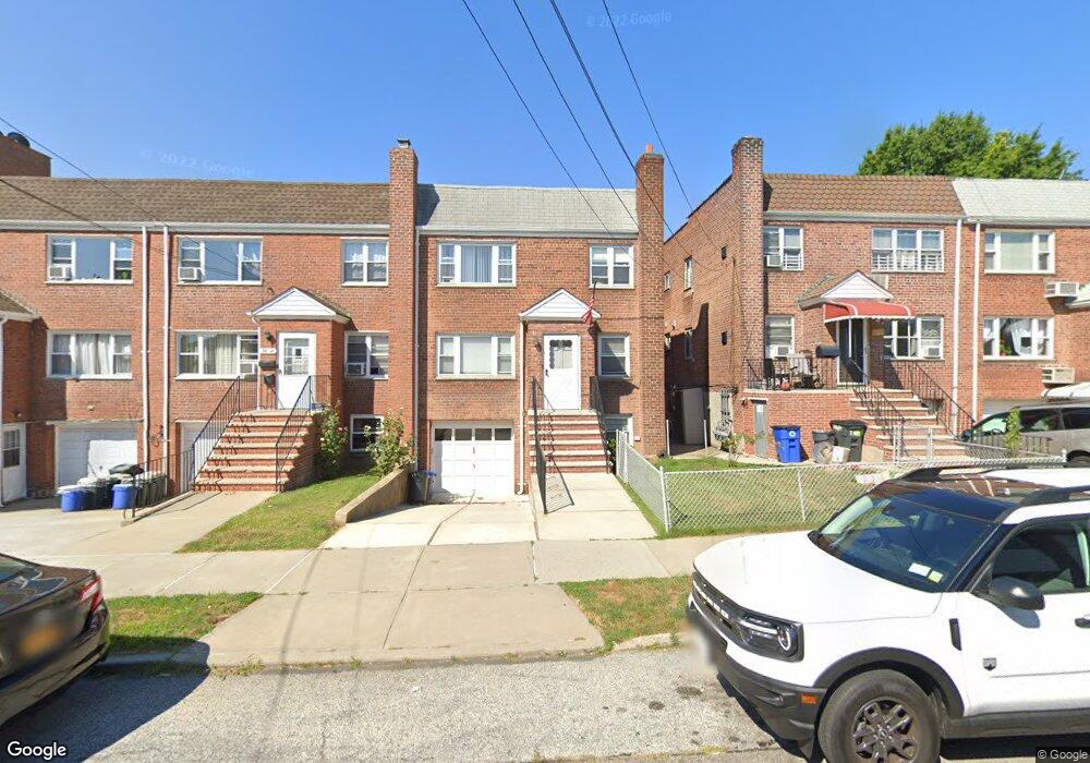
36-10 194th St Unit 2 Flushing, NY 11358
Auburndale NeighborhoodEstimated Value: $1,134,637 - $1,459,000
2
Beds
1
Bath
1,932
Sq Ft
$666/Sq Ft
Est. Value
About This Home
This home is located at 36-10 194th St Unit 2, Flushing, NY 11358 and is currently estimated at $1,287,659, approximately $666 per square foot. 36-10 194th St Unit 2 is a home located in Queens County with nearby schools including P.S. 32 - State Street, I.S. 25 Adrien Block, and Francis Lewis High School.
Ownership History
Date
Name
Owned For
Owner Type
Purchase Details
Closed on
Jun 26, 2021
Sold by
Shea Michael and Shea Michael James
Bought by
Margaret Macdonald Trustee and The Michael James Shea Trust Dated June
Current Estimated Value
Purchase Details
Closed on
May 18, 2003
Sold by
Estate Of Christopher Shea and Macdonald
Bought by
Macdonald Margaret and Shea Michael
Create a Home Valuation Report for This Property
The Home Valuation Report is an in-depth analysis detailing your home's value as well as a comparison with similar homes in the area
Home Values in the Area
Average Home Value in this Area
Purchase History
| Date | Buyer | Sale Price | Title Company |
|---|---|---|---|
| Margaret Macdonald Trustee | -- | -- | |
| Margaret Macdonald Trustee | -- | -- | |
| Margaret Macdonald Trustee | -- | -- | |
| Margaret Macdonald Trustee | -- | -- | |
| Macdonald Margaret | -- | -- | |
| Macdonald Margaret | -- | -- | |
| Macdonald Margaret | -- | -- | |
| Macdonald Margaret | -- | -- |
Source: Public Records
Tax History Compared to Growth
Tax History
| Year | Tax Paid | Tax Assessment Tax Assessment Total Assessment is a certain percentage of the fair market value that is determined by local assessors to be the total taxable value of land and additions on the property. | Land | Improvement |
|---|---|---|---|---|
| 2025 | $9,466 | $51,439 | $13,034 | $38,405 |
| 2024 | $9,478 | $48,528 | $11,545 | $36,983 |
| 2023 | $9,014 | $45,785 | $11,601 | $34,184 |
| 2022 | $8,836 | $74,640 | $18,000 | $56,640 |
| 2021 | $9,266 | $61,860 | $18,000 | $43,860 |
| 2020 | $8,777 | $63,060 | $18,000 | $45,060 |
| 2019 | $8,167 | $67,980 | $18,000 | $49,980 |
| 2018 | $7,480 | $38,154 | $12,061 | $26,093 |
| 2017 | $7,478 | $38,154 | $13,626 | $24,528 |
| 2016 | $7,260 | $38,154 | $13,626 | $24,528 |
| 2015 | $4,121 | $35,722 | $12,695 | $23,027 |
| 2014 | $4,121 | $33,700 | $13,110 | $20,590 |
Source: Public Records
Map
Nearby Homes
- 36-20 194th St Unit 3r
- 3617 194th St
- 37-02 Francis Lewis Blvd
- 37-08 Francis Lewis Blvd
- 37-6 Francis Lewis Blvd
- 195-31 39th Ave
- 191-9 39th Ave Unit 164
- 191-09 39th Ave Unit Lower
- 191-22 39th Ave
- 194-23 Station Rd
- 19934 34th Ave
- 36-20 190th St
- 190-05 39th Ave Unit 140
- 190-05 39th Ave Unit 142
- 36- 40 201st St Unit A, B, C
- 34-41 201st St
- 191-08 Station Rd
- 19112 Station Rd
- 200-14 34th Ave
- 189-23 39th Ave Unit 122
- 3610 194th St
- 3608 194th St
- 3612 194th St
- 36-20 194th St Unit 1R
- 36-20 194th St Unit 1L
- 36-20 194th St
- 36-20 194th St Unit 2R
- 36-20 194th St Unit 4 R
- 36-20 194th St Unit 2L
- 36-20 194th St Unit 3L
- 3606 194th St
- 3614 194th St
- 3604 194th St
- 3620 194th St
- 3620 194th St Unit 1L
- 3620 194th St Unit 1L
- 3620 194th St Unit 1L
- 3620 194th St Unit 1L
- 3620 194th St Unit 1L
- 3620 194th St Unit 1L