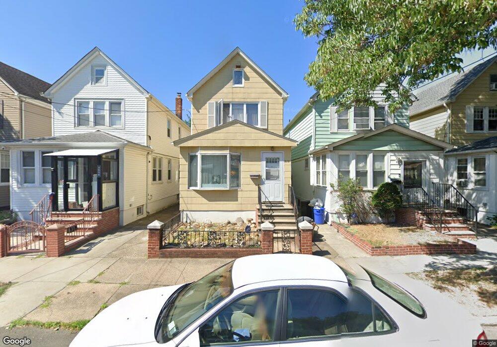
36-22 201 St Flushing, NY 11361
Auburndale NeighborhoodEstimated Value: $925,513 - $974,000
3
Beds
2
Baths
1,328
Sq Ft
$714/Sq Ft
Est. Value
About This Home
This home is located at 36-22 201 St, Flushing, NY 11361 and is currently estimated at $948,128, approximately $713 per square foot. 36-22 201 St is a home located in Queens County with nearby schools including P.S. 159 Queens, I.S. 25 Adrien Block, and Bayside High School.
Create a Home Valuation Report for This Property
The Home Valuation Report is an in-depth analysis detailing your home's value as well as a comparison with similar homes in the area
Home Values in the Area
Average Home Value in this Area
Tax History Compared to Growth
Tax History
| Year | Tax Paid | Tax Assessment Tax Assessment Total Assessment is a certain percentage of the fair market value that is determined by local assessors to be the total taxable value of land and additions on the property. | Land | Improvement |
|---|---|---|---|---|
| 2025 | $6,822 | $34,538 | $7,304 | $27,234 |
| 2024 | $6,822 | $33,966 | $7,743 | $26,223 |
| 2023 | $6,477 | $32,246 | $7,202 | $25,044 |
| 2022 | $6,094 | $52,440 | $11,940 | $40,500 |
| 2021 | $6,062 | $46,620 | $11,940 | $34,680 |
| 2020 | $6,092 | $51,240 | $11,940 | $39,300 |
| 2019 | $5,921 | $51,060 | $11,940 | $39,120 |
| 2018 | $5,478 | $26,872 | $6,254 | $20,618 |
| 2017 | $5,185 | $25,437 | $7,477 | $17,960 |
| 2016 | $4,799 | $25,437 | $7,477 | $17,960 |
| 2015 | $2,894 | $23,985 | $9,283 | $14,702 |
| 2014 | $2,894 | $23,588 | $10,006 | $13,582 |
Source: Public Records
Map
Nearby Homes
- 36-05 200th St
- 36- 40 201st St Unit A, B, C
- 35-16 203rd St
- 35-27 203rd St
- 37-02 Francis Lewis Blvd
- 3454 201st St
- 37-6 Francis Lewis Blvd
- 37-12 Francis Lewis Blvd
- 34-41 201st St
- 200-06 39th Ave
- 3611 204th St
- 20403 36th Ave Unit 397
- 203-07 35th Ave Unit B
- 35-42 205th St Unit 288
- 20070 39th Ave
- 204-8 35th Ave Unit 247
- 36-46 205th St
- 204-12 35th Ave Unit 254
- 35-31 205th St Unit 300
- 35-31 205th St Unit 302