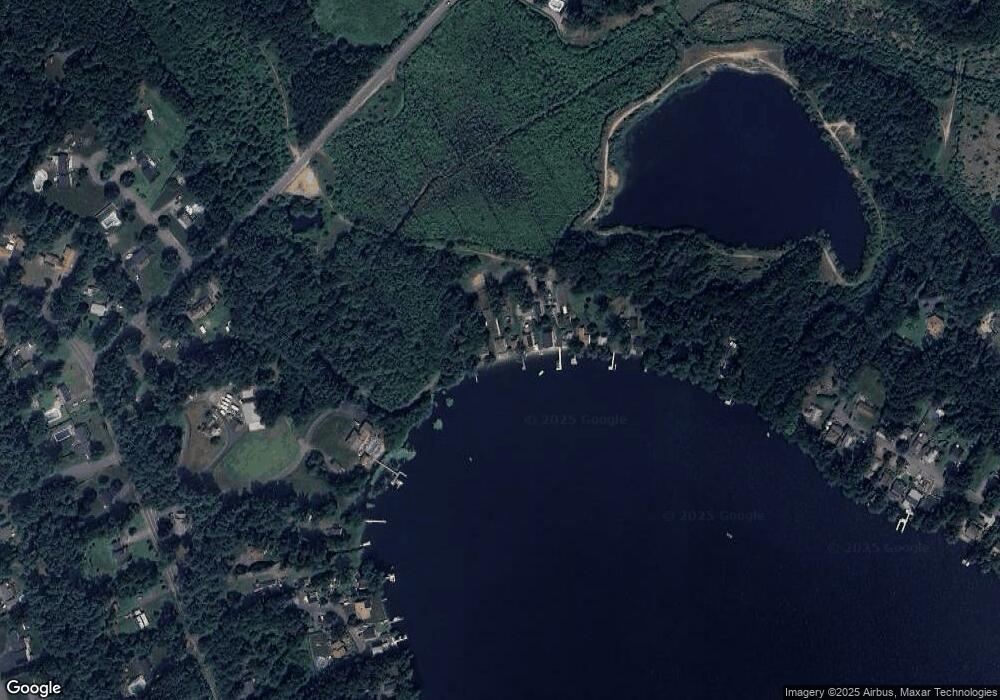
36 Blueberry Ln Pembroke, MA 02359
Estimated Value: $582,000 - $637,000
4
Beds
2
Baths
1,536
Sq Ft
$401/Sq Ft
Est. Value
About This Home
This home is located at 36 Blueberry Ln, Pembroke, MA 02359 and is currently estimated at $616,416, approximately $401 per square foot. 36 Blueberry Ln is a home with nearby schools including Pembroke High School.
Ownership History
Date
Name
Owned For
Owner Type
Purchase Details
Closed on
Nov 10, 2015
Sold by
John V Cummings Ft
Bought by
John V Cummings Ft
Current Estimated Value
Purchase Details
Closed on
Dec 15, 2010
Sold by
Cummings John V and Cummings Betty A
Bought by
Cummings John and Cummings Betty
Purchase Details
Closed on
May 26, 1972
Bought by
John & Betty Cummings Ft
Create a Home Valuation Report for This Property
The Home Valuation Report is an in-depth analysis detailing your home's value as well as a comparison with similar homes in the area
Home Values in the Area
Average Home Value in this Area
Purchase History
| Date | Buyer | Sale Price | Title Company |
|---|---|---|---|
| John V Cummings Ft | -- | -- | |
| Cummings John V | -- | -- | |
| Cummings John | -- | -- | |
| John & Betty Cummings Ft | $9,500 | -- |
Source: Public Records
Mortgage History
| Date | Status | Borrower | Loan Amount |
|---|---|---|---|
| Previous Owner | John & Betty Cummings Ft | $85,000 | |
| Previous Owner | John & Betty Cummings Ft | $20,000 |
Source: Public Records
Tax History Compared to Growth
Tax History
| Year | Tax Paid | Tax Assessment Tax Assessment Total Assessment is a certain percentage of the fair market value that is determined by local assessors to be the total taxable value of land and additions on the property. | Land | Improvement |
|---|---|---|---|---|
| 2025 | $6,170 | $513,300 | $288,600 | $224,700 |
| 2024 | $5,819 | $483,700 | $260,000 | $223,700 |
| 2023 | $5,555 | $436,700 | $239,900 | $196,800 |
| 2022 | $5,243 | $370,500 | $199,200 | $171,300 |
| 2021 | $5,118 | $351,000 | $186,900 | $164,100 |
| 2020 | $5,048 | $348,400 | $186,900 | $161,500 |
| 2019 | $4,939 | $338,300 | $186,900 | $151,400 |
| 2018 | $4,601 | $309,000 | $174,500 | $134,500 |
| 2017 | $4,358 | $288,600 | $155,000 | $133,600 |
| 2016 | $4,143 | $271,500 | $139,500 | $132,000 |
| 2015 | $3,952 | $268,100 | $135,500 | $132,600 |
Source: Public Records
Map
Nearby Homes
- 38 Blueberry Ln
- 34 Blueberry Ln
- 40 Blueberry Ln
- 32 Blueberry Ln
- 44 Blueberry Ln
- 46 Blueberry Ln
- 48 Blueberry Ln
- 50 Blueberry Ln
- 52 Blueberry Ln
- LOT 2 Mckenzie Orchard
- LOT 5 Lilah Ln
- LOT 4 Milford Estates
- LOT 11 Shipyard Ln
- LOT 6B Wintergreen Farm Rd
- LOT6A Wintergreen Farm Rd
- LOT9 Shipyard Ln
- LOT 3 Standford Hill Rd
- LOT BO Gorham Ave
- LOT 19 Oletree Sub Divide
- LOT 5 Standford Hill Rd
