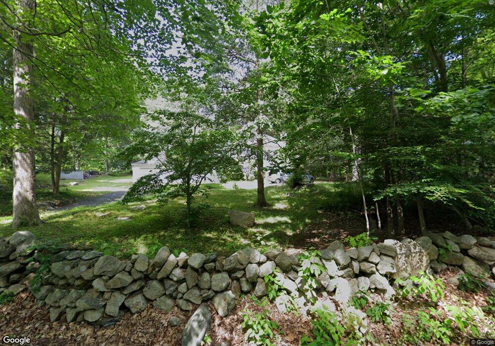
36 Borglum Rd Wilton, CT 06897
Estimated Value: $948,000 - $1,346,000
4
Beds
3
Baths
2,470
Sq Ft
$462/Sq Ft
Est. Value
About This Home
This home is located at 36 Borglum Rd, Wilton, CT 06897 and is currently estimated at $1,140,066, approximately $461 per square foot. 36 Borglum Rd is a home located in Fairfield County with nearby schools including Miller-Driscoll School, Cider Mill School, and Middlebrook School.
Ownership History
Date
Name
Owned For
Owner Type
Purchase Details
Closed on
Jun 2, 2003
Sold by
Schmitt Michael M and Schmitt Christopher C
Bought by
Corsaro Francis J and Corsaro Irene
Current Estimated Value
Home Financials for this Owner
Home Financials are based on the most recent Mortgage that was taken out on this home.
Original Mortgage
$543,920
Interest Rate
5.86%
Create a Home Valuation Report for This Property
The Home Valuation Report is an in-depth analysis detailing your home's value as well as a comparison with similar homes in the area
Home Values in the Area
Average Home Value in this Area
Purchase History
| Date | Buyer | Sale Price | Title Company |
|---|---|---|---|
| Corsaro Francis J | $679,900 | -- |
Source: Public Records
Mortgage History
| Date | Status | Borrower | Loan Amount |
|---|---|---|---|
| Open | Corsaro Francis J | $424,000 | |
| Closed | Corsaro Francis J | $543,920 |
Source: Public Records
Tax History
| Year | Tax Paid | Tax Assessment Tax Assessment Total Assessment is a certain percentage of the fair market value that is determined by local assessors to be the total taxable value of land and additions on the property. | Land | Improvement |
|---|---|---|---|---|
| 2025 | $12,667 | $518,910 | $292,110 | $226,800 |
| 2024 | $12,423 | $518,910 | $292,110 | $226,800 |
| 2023 | $13,487 | $460,950 | $279,300 | $181,650 |
| 2022 | $13,013 | $460,950 | $279,300 | $181,650 |
| 2021 | $12,847 | $460,950 | $279,300 | $181,650 |
| 2020 | $12,658 | $460,950 | $279,300 | $181,650 |
| 2019 | $13,156 | $460,950 | $279,300 | $181,650 |
| 2018 | $12,546 | $445,060 | $293,930 | $151,130 |
| 2017 | $12,359 | $445,060 | $293,930 | $151,130 |
| 2016 | $12,168 | $445,060 | $293,930 | $151,130 |
| 2015 | $11,941 | $445,060 | $293,930 | $151,130 |
| 2014 | $11,799 | $445,060 | $293,930 | $151,130 |
Source: Public Records
Map
Nearby Homes
- 73 Old Kings Hwy
- 158 N Seir Hill Rd
- 332 Belden Hill Rd
- 135 Comstock Hill Rd
- 123 Old Belden Hill Rd Unit 40
- 106A Comstock Hill Ave
- 106 Comstock Hill Ave
- 239 Silvermine Ave
- 51 Chessor Ln
- 300 Buttery Rd
- 18 Singing Woods Rd
- 98 Comstock Hill Ave
- 158L Carter St
- 30L Huckleberry Hill Rd
- 152L Carter St
- 76 Fawn Ridge Ln
- 136L Carter St
- 140L Carter St
- 3 Valley View Rd Unit 45
- 67 Carter St
Your Personal Tour Guide
Ask me questions while you tour the home.
