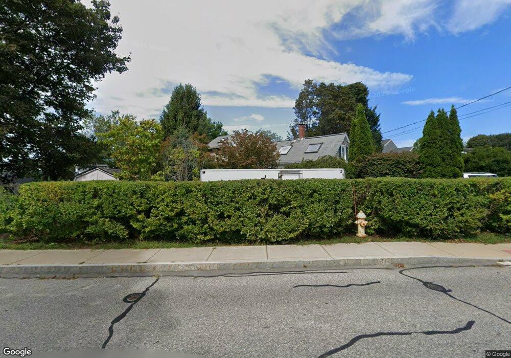
36 Cherry St Gloucester, MA 01930
Estimated Value: $507,000 - $757,000
2
Beds
1
Bath
800
Sq Ft
$771/Sq Ft
Est. Value
About This Home
This home is located at 36 Cherry St, Gloucester, MA 01930 and is currently estimated at $616,969, approximately $771 per square foot. 36 Cherry St is a home located in Essex County with nearby schools including Beeman Memorial, Ralph B O'maley Middle School, and Gloucester High School.
Ownership History
Date
Name
Owned For
Owner Type
Purchase Details
Closed on
May 15, 2000
Sold by
Kosko Carl R and Kosko Maria E
Bought by
Martin Daniel S and Martin Susan L
Current Estimated Value
Purchase Details
Closed on
Aug 3, 1993
Sold by
Sullivan Robert G and Sullivan Alice
Bought by
Kosko Carl R and Kosko Maria E
Purchase Details
Closed on
Mar 2, 1987
Sold by
Reservoir Road Rt
Bought by
Sullivan Alice J
Create a Home Valuation Report for This Property
The Home Valuation Report is an in-depth analysis detailing your home's value as well as a comparison with similar homes in the area
Purchase History
| Date | Buyer | Sale Price | Title Company |
|---|---|---|---|
| Martin Daniel S | $160,000 | -- | |
| Kosko Carl R | $101,000 | -- | |
| Sullivan Alice J | $129,000 | -- |
Source: Public Records
Mortgage History
| Date | Status | Borrower | Loan Amount |
|---|---|---|---|
| Open | Sullivan Alice J | $116,000 | |
| Closed | Sullivan Alice J | $25,000 |
Source: Public Records
Tax History
| Year | Tax Paid | Tax Assessment Tax Assessment Total Assessment is a certain percentage of the fair market value that is determined by local assessors to be the total taxable value of land and additions on the property. | Land | Improvement |
|---|---|---|---|---|
| 2025 | $5,531 | $569,000 | $186,200 | $382,800 |
| 2024 | $5,563 | $571,700 | $177,300 | $394,400 |
| 2023 | $5,391 | $509,100 | $158,300 | $350,800 |
| 2022 | $4,877 | $415,800 | $137,700 | $278,100 |
| 2021 | $5,044 | $405,500 | $125,200 | $280,300 |
| 2020 | $4,796 | $389,000 | $125,200 | $263,800 |
| 2019 | $4,724 | $372,300 | $125,200 | $247,100 |
| 2018 | $4,598 | $355,600 | $125,200 | $230,400 |
| 2017 | $4,413 | $334,600 | $119,200 | $215,400 |
| 2016 | $4,358 | $320,200 | $124,400 | $195,800 |
| 2015 | $4,166 | $305,200 | $124,400 | $180,800 |
Source: Public Records
Map
Nearby Homes
- 31 Echo Ave
- 13 Mystic Ave
- 8 Mystic Ave
- 3 Deacon Farm Ln
- 6 Monroe Ct
- 98 Maplewood Ave
- 9 Cleveland Place
- 12 Arthur St
- 13 Honeysuckle Rd
- 40 Sargent St
- 19 Trask St Unit 2
- 33 Maplewood Ave Unit 310
- 50 Warner St
- 113 Pleasant St
- 15 Harvard St
- 20 Beacon St
- 20 Beacon St Unit 2
- 20 Beacon St Unit 1
- 15 Mount Vernon St
- 2 Breezy Point Rd
Your Personal Tour Guide
Ask me questions while you tour the home.