36 Community Camp Rd Lancaster, NH 03584
Estimated Value: $503,000 - $611,896
3
Beds
4
Baths
3,307
Sq Ft
$166/Sq Ft
Est. Value
About This Home
This home is located at 36 Community Camp Rd, Lancaster, NH 03584 and is currently estimated at $549,632, approximately $166 per square foot. 36 Community Camp Rd is a home located in Coos County with nearby schools including Lancaster Elementary School and White Mountains Regional High School.
Ownership History
Date
Name
Owned For
Owner Type
Purchase Details
Closed on
Nov 15, 2002
Sold by
Mcguire Francis J and Mcguire Barbara A
Bought by
Gallegas Joe A and Gallegas Beverly A
Current Estimated Value
Home Financials for this Owner
Home Financials are based on the most recent Mortgage that was taken out on this home.
Original Mortgage
$14,700
Outstanding Balance
$6,162
Interest Rate
6.03%
Estimated Equity
$543,470
Create a Home Valuation Report for This Property
The Home Valuation Report is an in-depth analysis detailing your home's value as well as a comparison with similar homes in the area
Home Values in the Area
Average Home Value in this Area
Purchase History
| Date | Buyer | Sale Price | Title Company |
|---|---|---|---|
| Gallegas Joe A | $24,500 | -- |
Source: Public Records
Mortgage History
| Date | Status | Borrower | Loan Amount |
|---|---|---|---|
| Open | Gallegas Joe A | $14,700 |
Source: Public Records
Tax History Compared to Growth
Tax History
| Year | Tax Paid | Tax Assessment Tax Assessment Total Assessment is a certain percentage of the fair market value that is determined by local assessors to be the total taxable value of land and additions on the property. | Land | Improvement |
|---|---|---|---|---|
| 2024 | $8,171 | $426,000 | $75,700 | $350,300 |
| 2023 | $7,374 | $426,000 | $75,700 | $350,300 |
| 2022 | $6,617 | $272,400 | $46,600 | $225,800 |
| 2021 | $7,134 | $272,400 | $46,600 | $225,800 |
| 2020 | $6,739 | $272,400 | $46,600 | $225,800 |
| 2019 | $6,783 | $272,400 | $46,600 | $225,800 |
| 2018 | $7,126 | $272,400 | $46,600 | $225,800 |
| 2017 | $7,441 | $282,500 | $43,900 | $238,600 |
| 2016 | $7,235 | $282,500 | $43,900 | $238,600 |
| 2015 | $7,766 | $282,500 | $43,900 | $238,600 |
| 2014 | $6,611 | $282,500 | $43,900 | $238,600 |
| 2013 | $6,596 | $282,500 | $43,900 | $238,600 |
Source: Public Records
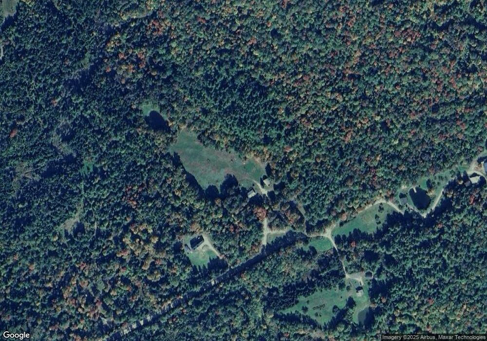
Map
Nearby Homes
- 98 Rowell Rd
- 86 & 89 Garland Rd
- 0 Garland Rd Unit 38
- 19 Great Rock Rd
- 86 & 90 Garland Rd
- 435 North Rd
- 85 Jason Ave
- 48 Jason Ave
- 97 Jason Ave
- 729 Presidential Hwy
- 22 Crystal Ave
- Lot 82 Portland St
- Lot 2 Portland St
- 218 Portland St
- 959 Presidential Hwy
- 140 Middle St
- 101 Page Hill Rd
- Lot 12 Page Hill Rd
- 36 Longview Dr
- Lots 7 & 8 Kelsea Dr
- 29 Arthur White Rd
- 304 Pleasant Valley Rd
- 9 Arthur White Rd
- 52 Arthur White Rd
- 53 Arthur White Rd
- 55 Mount Cabot Rd
- 43 Mount Cabot Rd
- 198 Pleasant Valley Rd
- 236 Pleasant Valley Rd
- 250 Pleasant Valley Rd
- 278 Pleasant Valley Rd
- 280 Pleasant Valley Rd
- 36 Arthur White Rd
- 8 Apple Hill Rd
- 268 Pleasant Valley Rd
- 66 Arthur White Rd
- 2 Arthur White Rd
- 24 Community Camp Rd
- 187 Pleasant Valley Rd
- 33 Pleasant Valley Rd