Estimated Value: $474,000 - $505,000
3
Beds
2
Baths
1,848
Sq Ft
$268/Sq Ft
Est. Value
About This Home
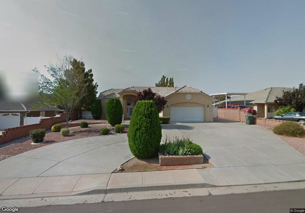
This home is located at 36 E 675 S, Ivins, UT 84738 and is currently estimated at $494,931, approximately $267 per square foot. 36 E 675 S is a home located in Washington County with nearby schools including Red Mountain School, Snow Canyon Middle School, and Lava Ridge Intermediate School.
Ownership History
Date
Name
Owned For
Owner Type
Purchase Details
Closed on
Jun 2, 2022
Sold by
Hasson Michael
Bought by
Hasson Michael
Current Estimated Value
Home Financials for this Owner
Home Financials are based on the most recent Mortgage that was taken out on this home.
Original Mortgage
$380,000
Outstanding Balance
$360,470
Interest Rate
5.09%
Estimated Equity
$134,461
Purchase Details
Closed on
May 28, 2020
Sold by
Albert Ray Ashworth Rev Liiiiiiiiving Tr
Bought by
Heiligenstein Janna
Home Financials for this Owner
Home Financials are based on the most recent Mortgage that was taken out on this home.
Original Mortgage
$324,500
Interest Rate
3.3%
Mortgage Type
Unknown
Create a Home Valuation Report for This Property
The Home Valuation Report is an in-depth analysis detailing your home's value as well as a comparison with similar homes in the area
Purchase History
| Date | Buyer | Sale Price | Title Company |
|---|---|---|---|
| Hasson Michael | -- | Inwest Title | |
| Hasson Michael | -- | Inwest Title | |
| Heiligenstein Janna | -- | Infinity Title Ins Agcy Llc |
Source: Public Records
Mortgage History
| Date | Status | Borrower | Loan Amount |
|---|---|---|---|
| Open | Hasson Michael | $380,000 | |
| Closed | Hasson Michael | $380,000 | |
| Previous Owner | Heiligenstein Janna | $324,500 |
Source: Public Records
Tax History
| Year | Tax Paid | Tax Assessment Tax Assessment Total Assessment is a certain percentage of the fair market value that is determined by local assessors to be the total taxable value of land and additions on the property. | Land | Improvement |
|---|---|---|---|---|
| 2025 | $3,282 | $483,200 | $135,000 | $348,200 |
| 2023 | $3,414 | $500,300 | $115,000 | $385,300 |
| 2022 | $1,910 | $263,450 | $57,750 | $205,700 |
| 2021 | $1,764 | $361,500 | $70,000 | $291,500 |
| 2020 | $1,530 | $296,800 | $65,000 | $231,800 |
| 2019 | $1,574 | $298,500 | $50,000 | $248,500 |
| 2018 | $1,588 | $150,810 | $0 | $0 |
| 2017 | $1,475 | $140,085 | $0 | $0 |
| 2016 | $1,571 | $137,775 | $0 | $0 |
| 2015 | -- | $131,725 | $0 | $0 |
| 2014 | -- | $119,790 | $0 | $0 |
Source: Public Records
Map
Nearby Homes
- 76 E 725 S
- 525 S Serenity Cir
- 37 W Serenity Cir
- 699 S 160 E
- 557 Harmony Cir
- 562 S Harmony Cir
- 61 E 490 S
- 103 E Morning Glory Ave
- 223 E 800 S
- 256 E 580 S
- 23 E Morning Glory Ave
- 565 S 250 E
- 915 S 170 E
- 668 S 315 E Unit 45
- 704 S 230 W
- 704 S 230 W Unit (lot 17)
- 628 S 230 W
- 673 S 230 W
- 693 S 230 W
- 673 S 230 W Unit (lot 9)
Your Personal Tour Guide
Ask me questions while you tour the home.