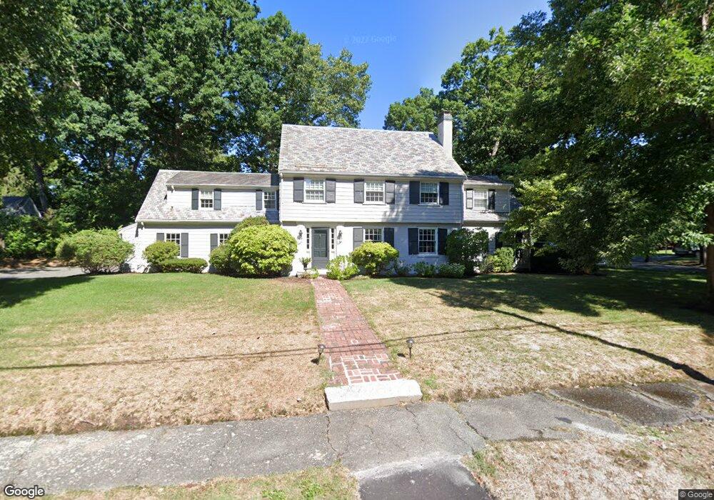
36 Fiske Rd Wellesley Hills, MA 02481
Wellesley Hills NeighborhoodEstimated Value: $1,890,873 - $2,326,000
4
Beds
4
Baths
3,167
Sq Ft
$677/Sq Ft
Est. Value
About This Home
This home is located at 36 Fiske Rd, Wellesley Hills, MA 02481 and is currently estimated at $2,144,218, approximately $677 per square foot. 36 Fiske Rd is a home located in Norfolk County with nearby schools including Schofield Elementary School, Wellesley Middle School, and Wellesley Sr High School.
Ownership History
Date
Name
Owned For
Owner Type
Purchase Details
Closed on
Dec 20, 2018
Sold by
Mark Pharty Ret 2000
Bought by
Mark P Harty Ret
Current Estimated Value
Purchase Details
Closed on
Mar 22, 2013
Sold by
Harty Mark P and Harty Sally W
Bought by
Mark P Harty Ret
Create a Home Valuation Report for This Property
The Home Valuation Report is an in-depth analysis detailing your home's value as well as a comparison with similar homes in the area
Home Values in the Area
Average Home Value in this Area
Purchase History
| Date | Buyer | Sale Price | Title Company |
|---|---|---|---|
| Mark P Harty Ret | -- | -- | |
| Mark P Harty Ret | -- | -- |
Source: Public Records
Tax History Compared to Growth
Tax History
| Year | Tax Paid | Tax Assessment Tax Assessment Total Assessment is a certain percentage of the fair market value that is determined by local assessors to be the total taxable value of land and additions on the property. | Land | Improvement |
|---|---|---|---|---|
| 2025 | $17,168 | $1,670,000 | $1,253,000 | $417,000 |
| 2024 | $16,229 | $1,559,000 | $1,157,000 | $402,000 |
| 2023 | $15,515 | $1,355,000 | $1,032,000 | $323,000 |
| 2022 | $15,534 | $1,330,000 | $893,000 | $437,000 |
| 2021 | $14,500 | $1,234,000 | $797,000 | $437,000 |
| 2020 | $14,265 | $1,234,000 | $797,000 | $437,000 |
| 2019 | $13,398 | $1,158,000 | $733,000 | $425,000 |
| 2018 | $14,185 | $1,187,000 | $730,000 | $457,000 |
| 2017 | $13,841 | $1,174,000 | $731,000 | $443,000 |
| 2016 | $13,392 | $1,132,000 | $718,000 | $414,000 |
| 2015 | $13,086 | $1,132,000 | $718,000 | $414,000 |
Source: Public Records
Map
Nearby Homes
- 7 Crescent St
- 2 Longfellow Rd
- 12 Bird Hill Ave
- 45 Moulton St
- 25 Columbia St
- 45 E Quinobequin Rd
- 177 Varick Rd
- 20 Oakland Street Front
- 34 Palmer Rd
- 6 Oakland Cir
- 2084 Washington St
- 206 Cedar St
- 10 Fife Rd
- 310 Oakland St
- 78 Hunnewell St
- 17 Deforest Rd
- 10 Lorraine Cir
- 54 Colburn Rd
- 34 Pilgrim Rd
- 33 Metacomet Rd