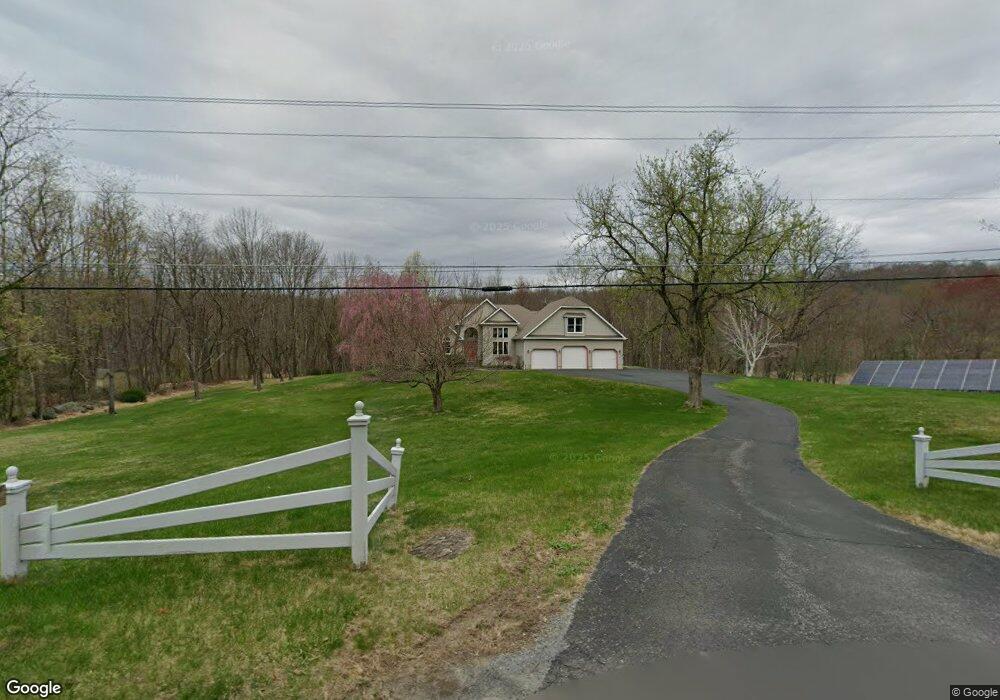
36 Gunn Rd Branchville, NJ 07826
Estimated Value: $723,000 - $779,000
--
Bed
--
Bath
3,571
Sq Ft
$211/Sq Ft
Est. Value
About This Home
This home is located at 36 Gunn Rd, Branchville, NJ 07826 and is currently estimated at $754,476, approximately $211 per square foot. 36 Gunn Rd is a home located in Sussex County with nearby schools including Frankford Township School and High Point Regional High School.
Ownership History
Date
Name
Owned For
Owner Type
Purchase Details
Closed on
Feb 28, 2001
Sold by
Cerra Stephen and Cerra Janet
Bought by
Yates Thomas W and Yates Ann M
Current Estimated Value
Home Financials for this Owner
Home Financials are based on the most recent Mortgage that was taken out on this home.
Original Mortgage
$250,000
Outstanding Balance
$90,964
Interest Rate
7.01%
Mortgage Type
Stand Alone First
Estimated Equity
$663,512
Purchase Details
Closed on
Oct 29, 1996
Sold by
Cerra Alan
Bought by
Cerra Stephen and Cerra Janet
Create a Home Valuation Report for This Property
The Home Valuation Report is an in-depth analysis detailing your home's value as well as a comparison with similar homes in the area
Home Values in the Area
Average Home Value in this Area
Purchase History
| Date | Buyer | Sale Price | Title Company |
|---|---|---|---|
| Yates Thomas W | $325,000 | First American Title Ins Co | |
| Cerra Stephen | $40,000 | -- |
Source: Public Records
Mortgage History
| Date | Status | Borrower | Loan Amount |
|---|---|---|---|
| Open | Yates Thomas W | $250,000 |
Source: Public Records
Tax History Compared to Growth
Tax History
| Year | Tax Paid | Tax Assessment Tax Assessment Total Assessment is a certain percentage of the fair market value that is determined by local assessors to be the total taxable value of land and additions on the property. | Land | Improvement |
|---|---|---|---|---|
| 2025 | $13,624 | $458,100 | $132,600 | $325,500 |
| 2024 | $13,216 | $458,100 | $132,600 | $325,500 |
| 2023 | $13,216 | $458,100 | $132,600 | $325,500 |
| 2022 | $12,896 | $458,100 | $132,600 | $325,500 |
| 2021 | $12,506 | $458,100 | $132,600 | $325,500 |
| 2020 | $12,149 | $458,100 | $132,600 | $325,500 |
| 2019 | $11,805 | $458,100 | $132,600 | $325,500 |
| 2018 | $11,695 | $458,100 | $132,600 | $325,500 |
| 2017 | $11,654 | $458,100 | $132,600 | $325,500 |
| 2016 | $11,801 | $458,100 | $132,600 | $325,500 |
| 2015 | $11,741 | $447,000 | $132,600 | $314,400 |
| 2014 | $11,720 | $447,000 | $132,600 | $314,400 |
Source: Public Records
Map
Nearby Homes
- 99 Phillips Rd
- 83 Hyatt Rd
- 80, 82 George Hill Rd
- 64 Mattison Rd
- 216 Mattison Reservoir Ave
- 220 Mattison Reservoir Ave
- 19 Dalrymple Rd
- 26 Dickerson Rd
- 127 E Shore Culver Rd
- 305 Wykertown Rd
- 20 Pines Rd
- 30 - 31 E Shore Culver Rd
- 605 County Road 565
- 78 E Shore Culver Rd
- 29 Plains Rd
- 515 Kemah Lake Rd
- 23 Plains Rd
- 7 Stempert Rd
- 10 Pidgeon Hill Rd
- 59 Newton Ave