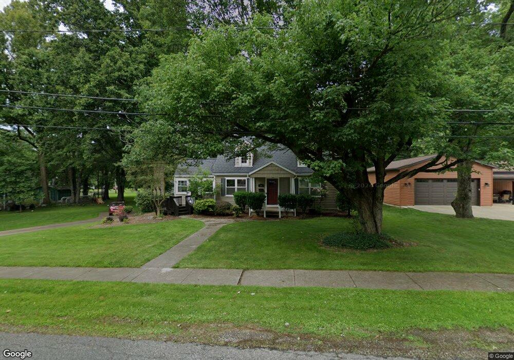
36 Huffman Ave Doylestown, OH 44230
Estimated Value: $226,000 - $291,000
3
Beds
1
Bath
1,992
Sq Ft
$135/Sq Ft
Est. Value
About This Home
This home is located at 36 Huffman Ave, Doylestown, OH 44230 and is currently estimated at $268,212, approximately $134 per square foot. 36 Huffman Ave is a home located in Wayne County with nearby schools including Hazel Harvey Elementary School, Chippewa Intermediate School, and Chippewa Jr./Sr. High School.
Ownership History
Date
Name
Owned For
Owner Type
Purchase Details
Closed on
Jan 9, 2013
Sold by
Lepley Ira Owen
Bought by
Lepley Marie and Lepley Daryl
Current Estimated Value
Home Financials for this Owner
Home Financials are based on the most recent Mortgage that was taken out on this home.
Original Mortgage
$72,000
Outstanding Balance
$11,775
Interest Rate
3.3%
Mortgage Type
New Conventional
Estimated Equity
$256,437
Purchase Details
Closed on
Jan 1, 1987
Bought by
Lepley Opal M
Create a Home Valuation Report for This Property
The Home Valuation Report is an in-depth analysis detailing your home's value as well as a comparison with similar homes in the area
Home Values in the Area
Average Home Value in this Area
Purchase History
| Date | Buyer | Sale Price | Title Company |
|---|---|---|---|
| Lepley Marie | $80,000 | Acs Title & Closing Services | |
| Lepley Opal M | -- | -- |
Source: Public Records
Mortgage History
| Date | Status | Borrower | Loan Amount |
|---|---|---|---|
| Open | Lepley Marie | $72,000 |
Source: Public Records
Tax History
| Year | Tax Paid | Tax Assessment Tax Assessment Total Assessment is a certain percentage of the fair market value that is determined by local assessors to be the total taxable value of land and additions on the property. | Land | Improvement |
|---|---|---|---|---|
| 2024 | $3,431 | $74,900 | $20,750 | $54,150 |
| 2023 | $2,747 | $74,900 | $20,750 | $54,150 |
| 2022 | $2,358 | $58,510 | $16,210 | $42,300 |
| 2021 | $2,363 | $58,510 | $16,210 | $42,300 |
| 2020 | $2,379 | $58,510 | $16,210 | $42,300 |
| 2019 | $2,187 | $51,800 | $22,470 | $29,330 |
| 2018 | $2,208 | $51,800 | $22,470 | $29,330 |
| 2017 | $2,190 | $51,800 | $22,470 | $29,330 |
| 2016 | $2,138 | $49,810 | $21,610 | $28,200 |
| 2015 | $2,128 | $49,810 | $21,610 | $28,200 |
| 2014 | $1,463 | $38,610 | $21,610 | $17,000 |
| 2013 | $1,562 | $38,970 | $16,600 | $22,370 |
Source: Public Records
Map
Nearby Homes
- 288 E Clinton St
- 325 Catawba Path
- 46 Hidden Pond Dr
- 100 Merlot Ct
- 93 Cleveland Ave
- 0 S Portage St
- 680 Thorn Way
- 620 Thorn Way
- 580 Thorn Way
- 436 N Portage St
- TBD Coal Bank Rd
- VL 1067 Homan Dr
- 497 Gates St
- 15899 Mccallum Dr
- 0 Akron Rd Unit 5123781
- 233 Homan Dr
- V/L 1050 Melanie Ln
- 500 W Clinton St
- 14761 Calaboone Rd
- 15500 Freedom Dr
- 52 Huffman Ave
- 68 Huffman Ave
- 341 E Clinton St
- 389 E Clinton St
- 21 Huffman Ave
- 49 Huffman Ave
- 65 Huffman Ave
- 0 E Clinton St
- 116 Huffman Ave
- 116 Huffman Ave
- 435 E Clinton St
- 400 E Clinton St
- 81 Huffman Ave
- 5 Byron Dr
- 333 E Clinton St
- 124 Huffman Ave
- 224 Circle Dr
- 244 Circle Dr
- 440 E Clinton St
- 380 E Clinton St
Your Personal Tour Guide
Ask me questions while you tour the home.