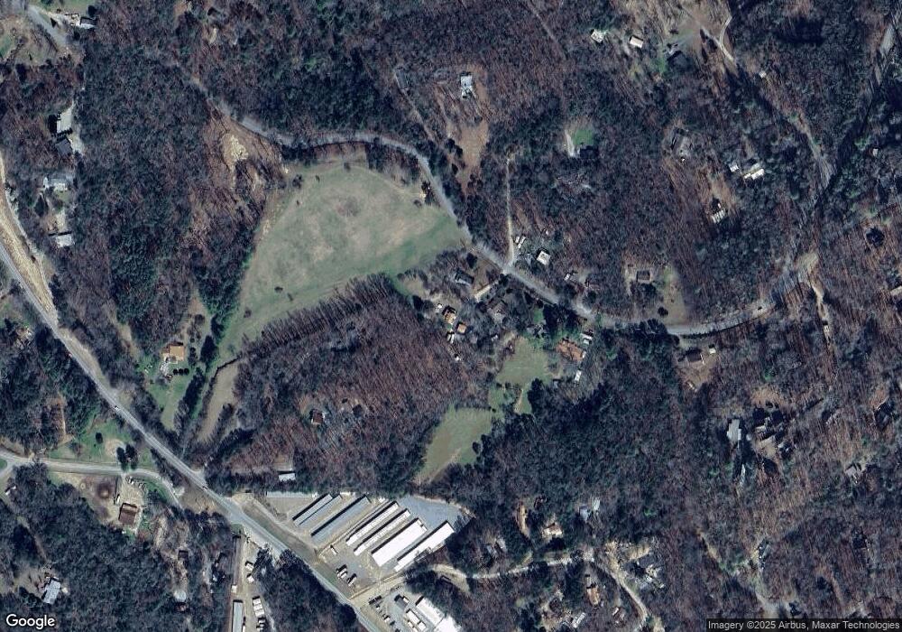
36 Log Ln Murphy, FL 28906
Estimated Value: $335,427 - $374,000
3
Beds
2
Baths
1,546
Sq Ft
$232/Sq Ft
Est. Value
About This Home
This home is located at 36 Log Ln, Murphy, FL 28906 and is currently estimated at $358,857, approximately $232 per square foot. 36 Log Ln is a home located in Cherokee County with nearby schools including Martins Creek Elementary/Middle School and Murphy High School.
Ownership History
Date
Name
Owned For
Owner Type
Purchase Details
Closed on
Jan 4, 2023
Sold by
Coltri Bruno R
Bought by
Tharp Holli Anne and Tharp James L
Current Estimated Value
Home Financials for this Owner
Home Financials are based on the most recent Mortgage that was taken out on this home.
Original Mortgage
$305,367
Outstanding Balance
$295,732
Interest Rate
6.49%
Mortgage Type
FHA
Estimated Equity
$63,125
Purchase Details
Closed on
Jan 27, 2020
Sold by
Nance Jodi
Bought by
Coltri Bruno R
Home Financials for this Owner
Home Financials are based on the most recent Mortgage that was taken out on this home.
Original Mortgage
$175,000
Interest Rate
3.7%
Mortgage Type
VA
Purchase Details
Closed on
May 30, 2019
Sold by
Nance Jodi and Estate Of Carole L Gruosso Jr
Bought by
Nance Jodi
Purchase Details
Closed on
Nov 1, 1989
Bought by
Gruosso Daniel and Gruosso Carole L
Create a Home Valuation Report for This Property
The Home Valuation Report is an in-depth analysis detailing your home's value as well as a comparison with similar homes in the area
Home Values in the Area
Average Home Value in this Area
Purchase History
| Date | Buyer | Sale Price | Title Company |
|---|---|---|---|
| Tharp Holli Anne | $311,000 | -- | |
| Tharp Holli Anne | $311,000 | None Listed On Document | |
| Coltri Bruno R | $175,000 | None Available | |
| Nance Jodi | -- | None Available | |
| Gruosso Daniel | $28,000 | -- |
Source: Public Records
Mortgage History
| Date | Status | Borrower | Loan Amount |
|---|---|---|---|
| Open | Tharp Holli Anne | $305,367 | |
| Closed | Tharp Holli Anne | $305,367 | |
| Previous Owner | Coltri Bruno R | $175,000 |
Source: Public Records
Tax History
| Year | Tax Paid | Tax Assessment Tax Assessment Total Assessment is a certain percentage of the fair market value that is determined by local assessors to be the total taxable value of land and additions on the property. | Land | Improvement |
|---|---|---|---|---|
| 2025 | $1,462 | $203,960 | $0 | $0 |
| 2024 | $1,449 | $203,960 | $0 | $0 |
| 2023 | $934 | $175,390 | $0 | $0 |
| 2022 | $934 | $175,390 | $0 | $0 |
| 2021 | $791 | $175,390 | $11,560 | $163,830 |
| 2020 | $675 | $117,820 | $0 | $0 |
| 2019 | $650 | $100,140 | $0 | $0 |
| 2018 | $650 | $100,140 | $0 | $0 |
| 2017 | $0 | $100,140 | $0 | $0 |
| 2016 | $650 | $100,140 | $0 | $0 |
| 2015 | $650 | $100,140 | $15,090 | $85,050 |
| 2012 | -- | $100,140 | $15,090 | $85,050 |
Source: Public Records
Map
Nearby Homes
- 168 Goldfield Rd
- 214 Hedden Rd
- 206 Hedden Rd
- 123 Longridge Rd
- Lot 18 Little Cottontail Rd
- 32,70,75 Rollingwood Ln
- 773 Rolling Oaks Rd
- 24 Oakcrest Ln
- 146 Lake Overlook Dr
- Lot 7 Holly Ridge Ln
- 15-19 Indian Rock Springs
- 0 Dones Dr
- 981 Sunset Ln
- 161 Boulder Mountain Dr
- 4, 5 &6 Mountain Wood Dr
- na W 331 Yellow Jacket Ln
- 0 Sunset Ln
- Lot 208 Boulder Creek Rd
- 2.84 Boulder Creek Rd
- 1997 Country Walk
- 36 Log Ln
- 32 Log Ln
- 27 Log Ln
- 1259 Blairsville Hwy
- 8 Steamboat Ln
- 597 Hedden Rd
- 00 Log Ln
- 58 Steamboat Ln
- 637 Hedden Rd
- 113 Goldfield Rd
- 1255 Blairsville Hwy
- 1369 Blairsville Hwy
- 1305 Blairsville Hwy
- 83 Goldfield Rd
- 117 Gold
- 451 Hedden Rd
- 117 Goldfield Rd
- 660 Hedden Rd
- 449 Hedden Rd
- 165 Goldfield Rd
