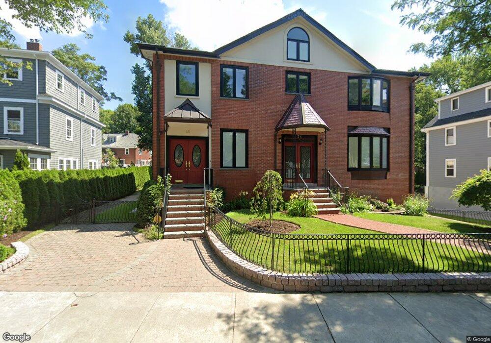
36 Loveland Rd Unit 38 Brookline, MA 02445
Chestnut Hill NeighborhoodEstimated Value: $2,139,000 - $2,468,000
4
Beds
2
Baths
2,484
Sq Ft
$933/Sq Ft
Est. Value
About This Home
This home is located at 36 Loveland Rd Unit 38, Brookline, MA 02445 and is currently estimated at $2,317,931, approximately $933 per square foot. 36 Loveland Rd Unit 38 is a home located in Norfolk County with nearby schools including Heath Elementary School, Maimonides School, and Brimmer & May School.
Ownership History
Date
Name
Owned For
Owner Type
Purchase Details
Closed on
Jun 19, 2006
Sold by
Fallon Joann and Breen John P
Bought by
Andersen Jannik and Schmidt Lise L
Current Estimated Value
Home Financials for this Owner
Home Financials are based on the most recent Mortgage that was taken out on this home.
Original Mortgage
$476,000
Outstanding Balance
$280,631
Interest Rate
6.62%
Mortgage Type
Purchase Money Mortgage
Estimated Equity
$2,037,300
Create a Home Valuation Report for This Property
The Home Valuation Report is an in-depth analysis detailing your home's value as well as a comparison with similar homes in the area
Home Values in the Area
Average Home Value in this Area
Purchase History
| Date | Buyer | Sale Price | Title Company |
|---|---|---|---|
| Andersen Jannik | $595,000 | -- |
Source: Public Records
Mortgage History
| Date | Status | Borrower | Loan Amount |
|---|---|---|---|
| Open | Andersen Jannik | $476,000 | |
| Closed | Andersen Jannik | $39,250 |
Source: Public Records
Tax History Compared to Growth
Tax History
| Year | Tax Paid | Tax Assessment Tax Assessment Total Assessment is a certain percentage of the fair market value that is determined by local assessors to be the total taxable value of land and additions on the property. | Land | Improvement |
|---|---|---|---|---|
| 2025 | $20,950 | $2,122,600 | $724,500 | $1,398,100 |
| 2024 | $19,977 | $2,044,700 | $696,600 | $1,348,100 |
| 2023 | $19,463 | $1,952,200 | $633,000 | $1,319,200 |
| 2022 | $18,944 | $1,859,100 | $602,800 | $1,256,300 |
| 2021 | $17,518 | $1,787,600 | $579,600 | $1,208,000 |
| 2020 | $16,234 | $1,717,900 | $526,900 | $1,191,000 |
| 2019 | $10,912 | $1,164,600 | $501,800 | $662,800 |
| 2018 | $8,031 | $848,900 | $500,500 | $348,400 |
| 2017 | $7,914 | $801,000 | $472,300 | $328,700 |
| 2016 | $7,758 | $744,500 | $441,400 | $303,100 |
| 2015 | $7,431 | $695,800 | $412,500 | $283,300 |
| 2014 | $7,374 | $647,400 | $374,900 | $272,500 |
Source: Public Records
Map
Nearby Homes
- 30 Ackers Ave
- 59 Ackers Ave Unit 1
- 675 Chestnut Hill Ave
- 55 Reservoir Rd Unit 2
- 540 Chestnut Hill Ave
- 120 Seaver St Unit A103
- 120 Seaver St Unit C-102
- 88 Cutler Ln
- 9 Willard Rd
- 55 Leicester St
- 142 Crafts Rd
- 8 Strathmore Rd Unit G
- 17 Strathmore Rd Unit 2
- 130 Cabot St
- 2400 Beacon St Unit 112
- 333 Clark Rd
- 80 Dudley St
- 372 Warren St
- 1880 Beacon St Unit 6
- 39 Clyde St
- 32 Loveland Rd
- 32 Loveland Rd
- 42 Loveland Rd
- 42 Loveland Rd Unit 1
- 30 Loveland Rd
- 0 Loveland Rd
- 48 Loveland Rd Unit 2
- 48 Loveland Rd Unit 1
- 39 Loveland Rd
- 35 Loveland Rd
- 26 Loveland Rd
- 633 Chestnut Hill Ave
- 625 Chestnut Hill Ave
- 43 Loveland Rd
- 31 Loveland Rd
- 31 Loveland Rd Unit 1
- 631 Chestnut Hill Ave
- 629 Chestnut Hill Ave Unit 2
- 629 Chestnut Hill Ave Unit 1
- 629 Chestnut Hill Ave