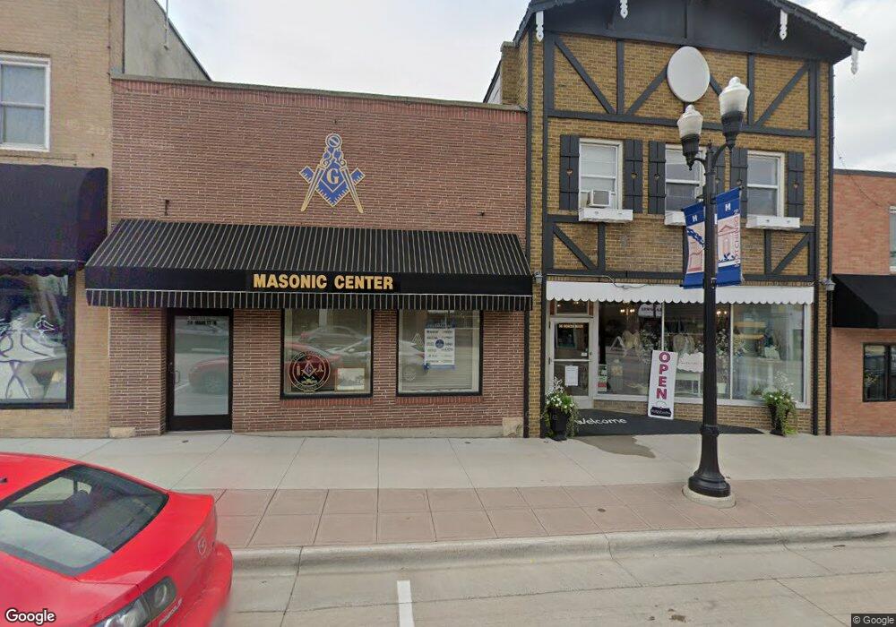
36 Main St N Hutchinson, MN 55350
Estimated Value: $128,370
--
Bed
--
Bath
3,578
Sq Ft
$36/Sq Ft
Est. Value
About This Home
This home is located at 36 Main St N, Hutchinson, MN 55350 and is currently estimated at $128,370, approximately $35 per square foot. 36 Main St N is a home located in McLeod County with nearby schools including Hutchinson West Elementary School, Hutchinson Park Elementary School, and Hutchinson Middle School.
Ownership History
Date
Name
Owned For
Owner Type
Purchase Details
Closed on
Mar 11, 2021
Sold by
Mp Co Llc
Bought by
Manana Properties Llc
Current Estimated Value
Purchase Details
Closed on
Sep 14, 2020
Sold by
Kroll Randall J
Bought by
Malone Robert T
Home Financials for this Owner
Home Financials are based on the most recent Mortgage that was taken out on this home.
Original Mortgage
$60,000
Interest Rate
2.8%
Mortgage Type
Commercial
Purchase Details
Closed on
Mar 9, 2020
Sold by
Kroll Randall J and Dewitt Milada M
Bought by
Kroll Randall J and Kroll Family Trust
Purchase Details
Closed on
Oct 30, 2012
Sold by
Lamprecht Durwood W and Lamprecht Doris A
Bought by
Dewitt Milada M
Create a Home Valuation Report for This Property
The Home Valuation Report is an in-depth analysis detailing your home's value as well as a comparison with similar homes in the area
Home Values in the Area
Average Home Value in this Area
Purchase History
| Date | Buyer | Sale Price | Title Company |
|---|---|---|---|
| Manana Properties Llc | -- | None Available | |
| Malone Robert T | $90,000 | None Available | |
| Kroll Randall J | -- | None Available | |
| Dewitt Milada M | -- | Gibraltar Title Agency | |
| Malone Robert Robert | $90,000 | -- |
Source: Public Records
Mortgage History
| Date | Status | Borrower | Loan Amount |
|---|---|---|---|
| Previous Owner | Malone Robert T | $60,000 | |
| Closed | Malone Robert Robert | $56,470 |
Source: Public Records
Tax History Compared to Growth
Tax History
| Year | Tax Paid | Tax Assessment Tax Assessment Total Assessment is a certain percentage of the fair market value that is determined by local assessors to be the total taxable value of land and additions on the property. | Land | Improvement |
|---|---|---|---|---|
| 2024 | $3,210 | $167,200 | $43,600 | $123,600 |
| 2023 | $3,214 | $167,200 | $43,600 | $123,600 |
| 2022 | $3,310 | $167,200 | $43,600 | $123,600 |
| 2021 | $3,490 | $151,100 | $43,600 | $107,500 |
| 2020 | $2,830 | $151,100 | $43,600 | $107,500 |
| 2019 | $2,656 | $114,400 | $43,600 | $70,800 |
| 2018 | $2,552 | $0 | $0 | $0 |
| 2017 | $4,136 | $0 | $0 | $0 |
| 2016 | $3,932 | $0 | $0 | $0 |
| 2015 | $3,818 | $0 | $0 | $0 |
| 2014 | -- | $0 | $0 | $0 |
Source: Public Records
Map
Nearby Homes
- 205 Adams St SE
- 126 Lynn Rd SW
- 530 Lincoln Ave SW
- 135 4th Ave SE
- 315 Adams St SE
- 230 Lynn Rd SW
- 207 4th Ave NE
- 310 & 312 4th Ave SW
- 436 Adams St SE
- 426 Monroe St SE
- 524 Bluff St NE
- 545 4th Ave SW
- 132 College Ave NE
- 584 Bluff St NE
- 569 Glen St SW
- 635 Hillcrest Rd NE
- 740 Ash St NE
- 570 Lynn Rd SW
- 616 Brown St SW
- 321 Highway 7 E