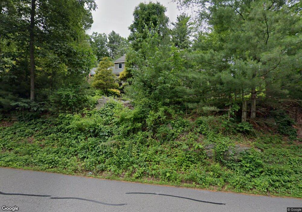
36 Mccracken Rd Millbury, MA 01527
Estimated Value: $833,437 - $1,054,000
3
Beds
3
Baths
3,520
Sq Ft
$283/Sq Ft
Est. Value
About This Home
This home is located at 36 Mccracken Rd, Millbury, MA 01527 and is currently estimated at $994,859, approximately $282 per square foot. 36 Mccracken Rd is a home located in Worcester County with nearby schools including Elmwood Street Elementary School, Raymond E. Shaw Elementary School, and Millbury Junior/Senior High School.
Ownership History
Date
Name
Owned For
Owner Type
Purchase Details
Closed on
Dec 30, 2002
Sold by
Konisky Michael A and Konisky Linda R
Bought by
Mcclure Stephen S and Mcclure Donna B
Current Estimated Value
Home Financials for this Owner
Home Financials are based on the most recent Mortgage that was taken out on this home.
Original Mortgage
$384,000
Outstanding Balance
$163,819
Interest Rate
6.02%
Mortgage Type
Purchase Money Mortgage
Estimated Equity
$831,040
Create a Home Valuation Report for This Property
The Home Valuation Report is an in-depth analysis detailing your home's value as well as a comparison with similar homes in the area
Home Values in the Area
Average Home Value in this Area
Purchase History
| Date | Buyer | Sale Price | Title Company |
|---|---|---|---|
| Mcclure Stephen S | $480,000 | -- |
Source: Public Records
Mortgage History
| Date | Status | Borrower | Loan Amount |
|---|---|---|---|
| Open | Mcclure Stephen S | $384,000 | |
| Previous Owner | Mcclure Stephen S | $10,000 | |
| Previous Owner | Mcclure Stephen S | $90,000 | |
| Previous Owner | Mcclure Stephen S | $20,000 |
Source: Public Records
Tax History Compared to Growth
Tax History
| Year | Tax Paid | Tax Assessment Tax Assessment Total Assessment is a certain percentage of the fair market value that is determined by local assessors to be the total taxable value of land and additions on the property. | Land | Improvement |
|---|---|---|---|---|
| 2025 | $10,766 | $804,000 | $134,300 | $669,700 |
| 2024 | $9,862 | $745,400 | $124,700 | $620,700 |
| 2023 | $8,501 | $588,300 | $88,700 | $499,600 |
| 2022 | $8,321 | $554,700 | $88,700 | $466,000 |
| 2021 | $2,240 | $496,000 | $88,700 | $407,300 |
| 2020 | $8,345 | $488,200 | $88,700 | $399,500 |
| 2019 | $7,549 | $476,300 | $92,400 | $383,900 |
| 2018 | $7,015 | $429,300 | $92,400 | $336,900 |
| 2017 | $6,347 | $386,300 | $92,400 | $293,900 |
| 2016 | $5,875 | $356,900 | $92,400 | $264,500 |
| 2015 | $5,652 | $343,400 | $93,900 | $249,500 |
| 2014 | $6,332 | $370,300 | $98,000 | $272,300 |
Source: Public Records
Map
Nearby Homes
- 33 Tainter Hill Rd Unit 33B
- 5- 33 Tainter Hill Rd Unit 33A
- 5- 33 Tainter Hill Rd
- 557 SW Cutoff Unit 79
- 557 SW Cutoff Unit 107
- 557 SW Cutoff Unit 17
- 14 Auburn Rd
- 15 Clearview Terrace Unit 68
- 47 Washington St Unit 26
- 90 Park Hill Ave
- 3 Lower Windbrook Dr
- 1295 Millbury St Unit B
- 0 Auburn Rd
- 24 Upper Windbrook
- 52 Clearview Terrace Unit 39
- 2 Breezy Bend
- 40 River St
- 422 Granite St
- 38 W Main St
- 54 Park Hill Rd
- 46 Mccracken Rd
- 49 Mccracken Rd
- 50 Mccracken Rd
- 394 Greenwood St
- 394 1/2 Greenwood St
- 394 Greenwood St
- 45 Mccracken Rd
- 86 Mccracken Rd
- 51 Mccracken Rd
- 392 Greenwood St
- 52 Mccracken Rd
- Lot 71 Mccracken Rd
- 390 Greenwood St
- 396 Greenwood St
- 391 Greenwood St
- 55 Mccracken Rd
- 55 Mccracken Rd
- 393 Greenwood St
- 393 Greenwood St
- 56 Mccracken Rd