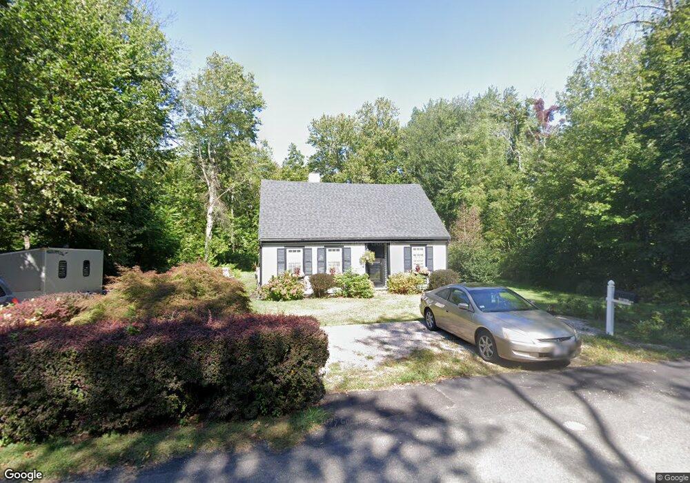
36 Mill Ln Cohasset, MA 02025
Estimated Value: $622,000 - $791,000
2
Beds
2
Baths
1,424
Sq Ft
$478/Sq Ft
Est. Value
About This Home
This home is located at 36 Mill Ln, Cohasset, MA 02025 and is currently estimated at $681,173, approximately $478 per square foot. 36 Mill Ln is a home located in Norfolk County with nearby schools including Joseph Osgood School, Deer Hill School, and Cohasset Middle School.
Create a Home Valuation Report for This Property
The Home Valuation Report is an in-depth analysis detailing your home's value as well as a comparison with similar homes in the area
Home Values in the Area
Average Home Value in this Area
Tax History
| Year | Tax Paid | Tax Assessment Tax Assessment Total Assessment is a certain percentage of the fair market value that is determined by local assessors to be the total taxable value of land and additions on the property. | Land | Improvement |
|---|---|---|---|---|
| 2025 | $5,299 | $457,600 | $272,800 | $184,800 |
| 2024 | $5,018 | $412,300 | $227,500 | $184,800 |
| 2023 | $4,855 | $411,400 | $227,400 | $184,000 |
| 2022 | $4,917 | $391,500 | $220,100 | $171,400 |
| 2021 | $4,859 | $372,600 | $220,100 | $152,500 |
| 2020 | $4,833 | $372,600 | $220,100 | $152,500 |
| 2019 | $4,807 | $372,600 | $220,100 | $152,500 |
| 2018 | $4,766 | $372,600 | $220,100 | $152,500 |
| 2017 | $4,183 | $320,300 | $200,100 | $120,200 |
| 2016 | $4,125 | $320,300 | $200,100 | $120,200 |
| 2015 | $4,071 | $320,300 | $200,100 | $120,200 |
| 2014 | $4,017 | $320,300 | $200,100 | $120,200 |
Source: Public Records
Map
Nearby Homes
- 27 Ox Pasture Ln
- 45 Hemlock Way
- 71 Ledgewood Dr
- 0 Bates Ln (Lot E Kevin's Way) Unit 73419598
- 34 Flintlock Ridge Rd
- 28 Bayberry Ln
- 165 R Summer St
- 453 Clapp Rd
- 449 Clapp Rd
- 451 Clapp Rd
- 453 - 455 Clapp Rd
- 46 Pond St
- 817 Country Way
- 11 Forest Ln
- 9 Forest Ln Unit 9
- 40 Pond St
- 31 Chittenden Ln Unit 31
- 701 Country Way
- 26 Mordecai Lincoln Rd
- 212 S Main St
Your Personal Tour Guide
Ask me questions while you tour the home.