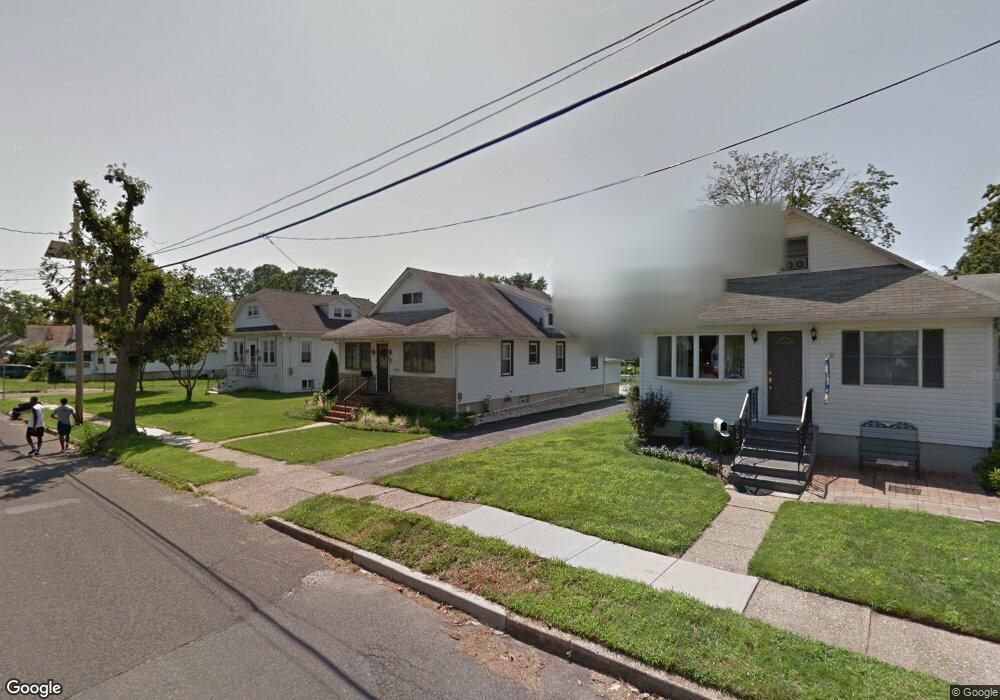
36 N Coles Ave Maple Shade, NJ 08052
Estimated Value: $288,091 - $332,000
--
Bed
--
Bath
1,142
Sq Ft
$272/Sq Ft
Est. Value
About This Home
This home is located at 36 N Coles Ave, Maple Shade, NJ 08052 and is currently estimated at $310,273, approximately $271 per square foot. 36 N Coles Ave is a home located in Burlington County with nearby schools including Ralph J Steinhauer Elementary School, Maude M. Wilkins Elementary School, and Howard R Yocum School.
Ownership History
Date
Name
Owned For
Owner Type
Purchase Details
Closed on
Jul 19, 2002
Sold by
Edeline Frederick
Bought by
Benoit David L and May Joann
Current Estimated Value
Home Financials for this Owner
Home Financials are based on the most recent Mortgage that was taken out on this home.
Original Mortgage
$96,000
Outstanding Balance
$40,494
Interest Rate
6.64%
Estimated Equity
$269,779
Purchase Details
Closed on
Sep 21, 2001
Sold by
Moeller Clyde J and Edeline Frederick
Bought by
Edeline Frederick
Create a Home Valuation Report for This Property
The Home Valuation Report is an in-depth analysis detailing your home's value as well as a comparison with similar homes in the area
Home Values in the Area
Average Home Value in this Area
Purchase History
| Date | Buyer | Sale Price | Title Company |
|---|---|---|---|
| Benoit David L | $120,000 | Congress Title Corp | |
| Edeline Frederick | -- | -- |
Source: Public Records
Mortgage History
| Date | Status | Borrower | Loan Amount |
|---|---|---|---|
| Open | Benoit David L | $96,000 |
Source: Public Records
Tax History Compared to Growth
Tax History
| Year | Tax Paid | Tax Assessment Tax Assessment Total Assessment is a certain percentage of the fair market value that is determined by local assessors to be the total taxable value of land and additions on the property. | Land | Improvement |
|---|---|---|---|---|
| 2025 | $5,926 | $156,100 | $46,600 | $109,500 |
| 2024 | $5,754 | $156,100 | $46,600 | $109,500 |
| 2023 | $5,754 | $156,100 | $46,600 | $109,500 |
| 2022 | $5,665 | $156,100 | $46,600 | $109,500 |
| 2021 | $5,610 | $156,100 | $46,600 | $109,500 |
| 2020 | $5,626 | $156,100 | $46,600 | $109,500 |
| 2019 | $5,420 | $156,100 | $46,600 | $109,500 |
| 2018 | $5,326 | $156,100 | $46,600 | $109,500 |
| 2017 | $5,264 | $156,100 | $46,600 | $109,500 |
| 2016 | $5,186 | $156,100 | $46,600 | $109,500 |
| 2015 | $5,073 | $156,100 | $46,600 | $109,500 |
| 2014 | $4,919 | $156,100 | $46,600 | $109,500 |
Source: Public Records
Map
Nearby Homes
- 48 N Terrace Ave
- 480 W Front St
- 301 N Coles Ave
- 29 W Broadway
- 2 Gainor Ave
- 57 S Terrace Ave
- 19 Farnsworth Ave
- 22 Theodore Ave
- 5 Paul Rd
- 26 N Poplar Ave
- 4 W Germantown Ave
- 8515 Bryn Mawr Ave
- 12 Collins Ln
- 112 S Maple Ave
- 104 E Laurelton Ave
- 327 S Coles Ave
- 120 E Center Ave
- 19 S Chestnut Ave
- 52 S Fellowship Rd
- 8275 Maple Ave