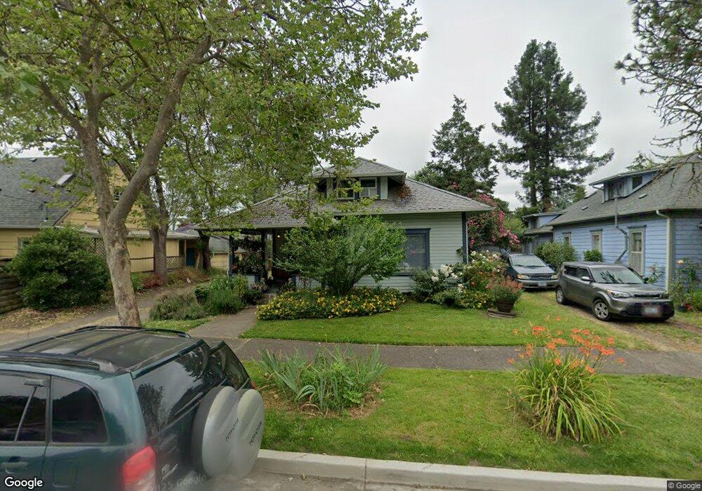
36 N Lawrence St Eugene, OR 97401
Downtown Eugene NeighborhoodEstimated Value: $298,000 - $631,000
2
Beds
1
Bath
1,612
Sq Ft
$287/Sq Ft
Est. Value
About This Home
This home is located at 36 N Lawrence St, Eugene, OR 97401 and is currently estimated at $462,180, approximately $286 per square foot. 36 N Lawrence St is a home located in Lane County with nearby schools including River Road/El Camino del Río Elementary School, Kelly Middle School, and North Eugene High School.
Ownership History
Date
Name
Owned For
Owner Type
Purchase Details
Closed on
Jul 23, 2013
Sold by
Cunningham Patrick J
Bought by
Vogler Matthew L
Current Estimated Value
Purchase Details
Closed on
Feb 11, 2013
Sold by
Federal National Mortgage Association
Bought by
Cunningham Patrick J
Purchase Details
Closed on
Jul 2, 2012
Sold by
Hill Garold Herbert and Hill Maeva Hinano Rose
Bought by
Federal National Mortgage Association
Create a Home Valuation Report for This Property
The Home Valuation Report is an in-depth analysis detailing your home's value as well as a comparison with similar homes in the area
Home Values in the Area
Average Home Value in this Area
Purchase History
| Date | Buyer | Sale Price | Title Company |
|---|---|---|---|
| Vogler Matthew L | $126,500 | Fidelity National Title Insu | |
| Cunningham Patrick J | $105,000 | Ticor Title Company Of Or | |
| Federal National Mortgage Association | $100,499 | First American Title |
Source: Public Records
Tax History
| Year | Tax Paid | Tax Assessment Tax Assessment Total Assessment is a certain percentage of the fair market value that is determined by local assessors to be the total taxable value of land and additions on the property. | Land | Improvement |
|---|---|---|---|---|
| 2025 | $2,555 | $131,120 | -- | -- |
| 2024 | $2,523 | $127,301 | -- | -- |
| 2023 | $2,523 | $123,594 | $0 | $0 |
| 2022 | $2,364 | $119,995 | $0 | $0 |
| 2021 | $2,220 | $116,500 | $0 | $0 |
| 2020 | $2,228 | $113,107 | $0 | $0 |
| 2019 | $2,152 | $109,813 | $0 | $0 |
| 2018 | $2,025 | $103,510 | $0 | $0 |
| 2017 | $1,935 | $103,510 | $0 | $0 |
| 2016 | $1,887 | $100,495 | $0 | $0 |
| 2015 | $1,832 | $97,568 | $0 | $0 |
| 2014 | $1,795 | $94,726 | $0 | $0 |
Source: Public Records
Map
Nearby Homes
- 9 N Monroe St Unit C
- 9 N Monroe St Unit B
- 9 N Monroe St Unit D
- 9 N Monroe St Unit A
- 143 Shelton McMurphey Blvd
- 147 Shelton McMurphey Blvd
- 211 Monroe St
- 490 W 4th Ave
- 427 Washington St
- 561 Madison St
- 561 577 Madison St
- 577 Madison St
- 875 Sand Ave
- 461 Blair Blvd
- 320 High St
- 1030 W 5th Ave
- 5713 Durst St
- 0 Unknown Unit 480745727
- 321 Mill St Unit 2
- 321 Mill St Unit 3
Your Personal Tour Guide
Ask me questions while you tour the home.