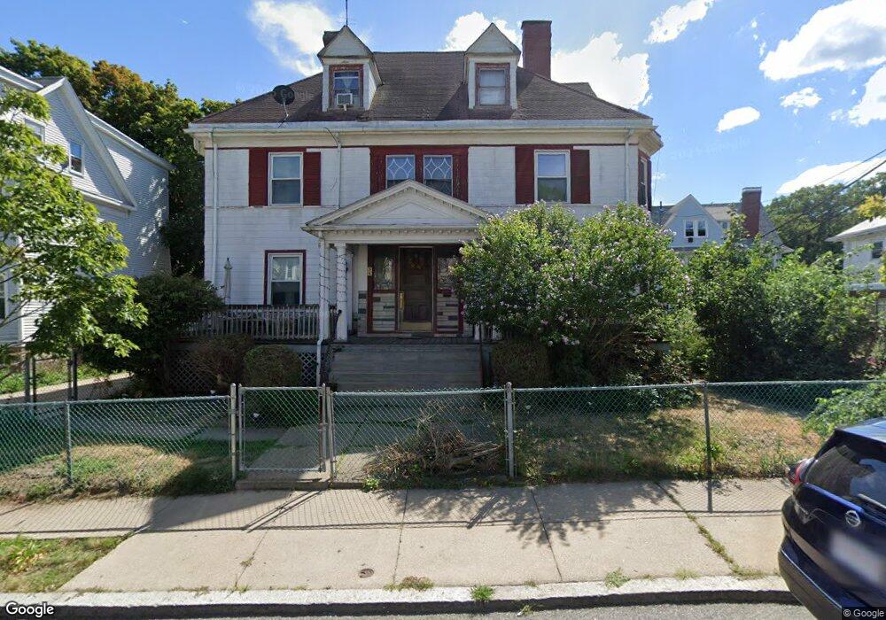
36 Nazing St Dorchester, MA 02121
Washington Park NeighborhoodEstimated Value: $644,070 - $769,000
6
Beds
3
Baths
2,942
Sq Ft
$239/Sq Ft
Est. Value
About This Home
This home is located at 36 Nazing St, Dorchester, MA 02121 and is currently estimated at $701,768, approximately $238 per square foot. 36 Nazing St is a home located in Suffolk County with nearby schools including Bridge Boston Charter School and Mother Caroline Academy & Education Center.
Ownership History
Date
Name
Owned For
Owner Type
Purchase Details
Closed on
Jun 30, 2003
Sold by
Johnson Ethel
Bought by
Ward David and Jennings Melissa C
Current Estimated Value
Home Financials for this Owner
Home Financials are based on the most recent Mortgage that was taken out on this home.
Original Mortgage
$299,250
Outstanding Balance
$129,812
Interest Rate
5.53%
Mortgage Type
Purchase Money Mortgage
Estimated Equity
$571,956
Create a Home Valuation Report for This Property
The Home Valuation Report is an in-depth analysis detailing your home's value as well as a comparison with similar homes in the area
Home Values in the Area
Average Home Value in this Area
Purchase History
| Date | Buyer | Sale Price | Title Company |
|---|---|---|---|
| Ward David | $315,000 | -- |
Source: Public Records
Mortgage History
| Date | Status | Borrower | Loan Amount |
|---|---|---|---|
| Open | Ward David | $35,000 | |
| Open | Ward David | $299,250 |
Source: Public Records
Tax History Compared to Growth
Tax History
| Year | Tax Paid | Tax Assessment Tax Assessment Total Assessment is a certain percentage of the fair market value that is determined by local assessors to be the total taxable value of land and additions on the property. | Land | Improvement |
|---|---|---|---|---|
| 2025 | $4,470 | $386,000 | $139,100 | $246,900 |
| 2024 | $4,372 | $401,100 | $122,200 | $278,900 |
| 2023 | $4,308 | $401,100 | $122,200 | $278,900 |
| 2022 | $4,079 | $374,900 | $114,200 | $260,700 |
| 2021 | $3,828 | $358,800 | $112,000 | $246,800 |
| 2020 | $3,401 | $322,100 | $94,000 | $228,100 |
| 2019 | $3,171 | $300,900 | $78,100 | $222,800 |
| 2018 | $2,946 | $281,100 | $78,100 | $203,000 |
| 2017 | $2,977 | $281,100 | $78,100 | $203,000 |
| 2016 | $2,945 | $267,700 | $78,100 | $189,600 |
| 2015 | $2,587 | $213,600 | $79,800 | $133,800 |
| 2014 | $2,609 | $207,400 | $79,800 | $127,600 |
Source: Public Records
Map
Nearby Homes
- 32 Hartwell St
- 9-13 Hewins St
- 164 Ruthven St Unit 1
- 78 Hutchings St Unit 1
- 408 Seaver St Unit 2
- 157-165 Stanwood St
- 40 Devon St Unit 3
- 214 Humboldt Ave
- 63 Normandy St
- 27 Brinsley St
- 103 Devon St
- 15 Mclellan St
- 157 Stanwood St
- 21 Mclellan St
- 7 Waumbeck St Unit 3
- 154 Stanwood St
- 52 Intervale St
- 74 Glenway St
- 352 Blue Hill Ave Unit 8
- 2 Otisfield St
- 30 Nazing St
- 254 Seaver St
- 35 Nazing St
- 35 Nazing St Unit 3
- 31 Nazing St Unit 2
- 31 Nazing St Unit 1
- 31 Nazing St
- 39 Nazing St
- 250 Seaver St
- 274 Seaver Street Boston Ma 02121
- 274 Seaver Boston Ma 02121
- 20 Nazing St
- 43 Nazing St
- 43 Nazing St Unit 1
- 274 Seaver St
- 274 Seaver St Unit 274
- 274 Seaver St
- 274 Seaver St Unit B
- 18 Nazing St Unit 20
- 246 Seaver St