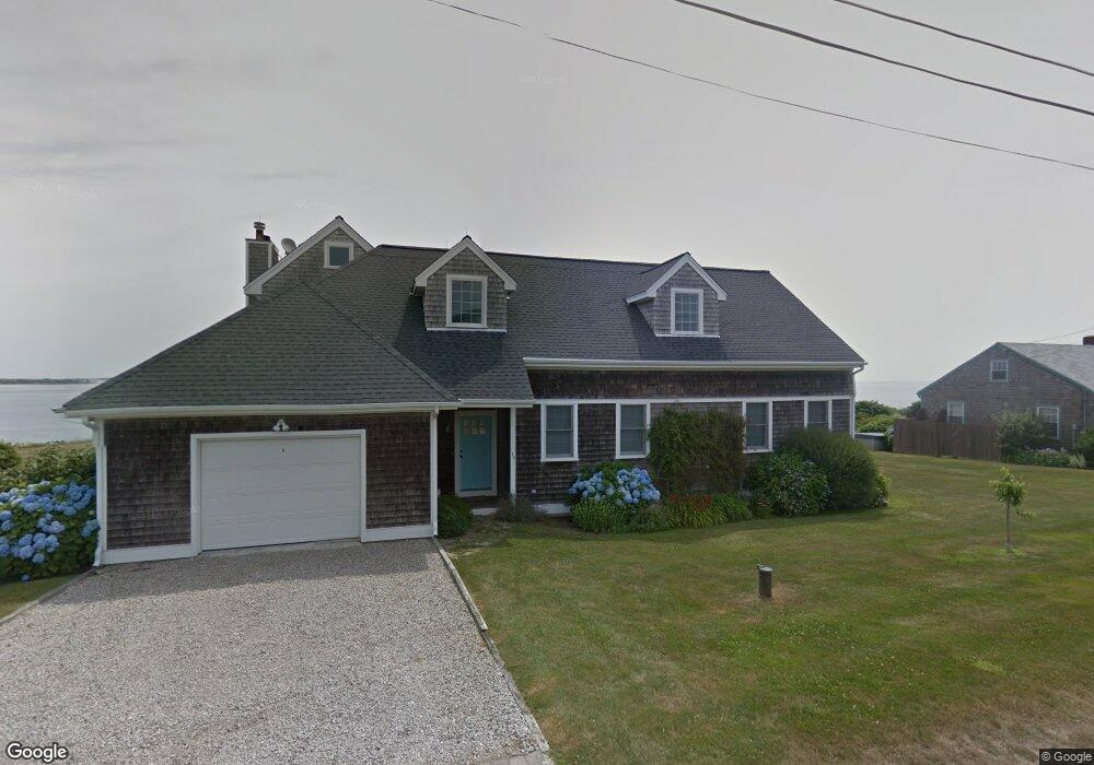
36 Ocean Dr Little Compton, RI 02837
Estimated Value: $1,806,000 - $2,175,155
3
Beds
3
Baths
2,649
Sq Ft
$729/Sq Ft
Est. Value
About This Home
This home is located at 36 Ocean Dr, Little Compton, RI 02837 and is currently estimated at $1,930,289, approximately $728 per square foot. 36 Ocean Dr is a home located in Newport County with nearby schools including Wilbur & McMahon School.
Ownership History
Date
Name
Owned For
Owner Type
Purchase Details
Closed on
Jul 30, 2021
Sold by
Kelsey Peter V and Ryan Ginger
Bought by
Peter V Kelsey 2020 T
Current Estimated Value
Purchase Details
Closed on
Jan 27, 1998
Sold by
Rowan John F and Mcmahon Carol A
Bought by
Kelsey Peter V
Create a Home Valuation Report for This Property
The Home Valuation Report is an in-depth analysis detailing your home's value as well as a comparison with similar homes in the area
Home Values in the Area
Average Home Value in this Area
Purchase History
| Date | Buyer | Sale Price | Title Company |
|---|---|---|---|
| Peter V Kelsey 2020 T | -- | None Available | |
| Kelsey Peter V | $270,000 | -- |
Source: Public Records
Mortgage History
| Date | Status | Borrower | Loan Amount |
|---|---|---|---|
| Previous Owner | Kelsey Peter V | $228,500 | |
| Previous Owner | Kelsey Peter V | $239,000 | |
| Previous Owner | Kelsey Peter V | $275,000 | |
| Previous Owner | Kelsey Peter V | $275,000 |
Source: Public Records
Tax History
| Year | Tax Paid | Tax Assessment Tax Assessment Total Assessment is a certain percentage of the fair market value that is determined by local assessors to be the total taxable value of land and additions on the property. | Land | Improvement |
|---|---|---|---|---|
| 2025 | $8,312 | $1,735,300 | $1,113,900 | $621,400 |
| 2024 | $7,476 | $1,471,700 | $860,500 | $611,200 |
| 2023 | $7,300 | $1,471,700 | $860,500 | $611,200 |
| 2022 | $7,211 | $1,471,700 | $860,500 | $611,200 |
| 2021 | $7,017 | $1,161,800 | $748,000 | $413,800 |
| 2020 | $6,959 | $1,161,800 | $748,000 | $413,800 |
| 2019 | $6,889 | $1,161,800 | $748,000 | $413,800 |
| 2018 | $6,391 | $1,072,300 | $677,900 | $394,400 |
| 2016 | $6,080 | $1,072,300 | $677,900 | $394,400 |
| 2015 | $5,889 | $1,024,100 | $637,800 | $386,300 |
| 2014 | $5,776 | $1,024,100 | $637,800 | $386,300 |
Source: Public Records
Map
Nearby Homes
- 49 Ocean Dr
- 30 Indian Rd
- 89 S Shore Rd
- 128 Maple Ave
- 141 S Of Commons Rd
- 255 John Dyer Rd
- 38 Old Bull Ln
- 505 Long Hwy
- 0 Willow Ave
- 141 Peckham Rd
- 441 W Main Rd
- 1 Puddingstone Cir
- 245 John Dyer Rd
- 140 Long Hwy
- 140I Long Hwy
- 180 W Main Rd
- 116 Amy Hart Path
- 17 Ferolbink Way
- 155 W Main Rd
- 25 Quail Trail
Your Personal Tour Guide
Ask me questions while you tour the home.