Estimated Value: $554,688 - $653,000
3
Beds
1
Bath
1,485
Sq Ft
$404/Sq Ft
Est. Value
About This Home
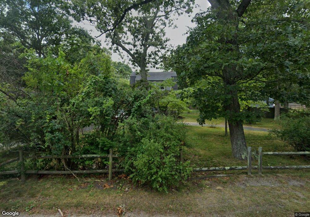
This home is located at 36 Pauls Path, Coram, NY 11727 and is currently estimated at $599,422, approximately $403 per square foot. 36 Pauls Path is a home located in Suffolk County with nearby schools including Longwood Middle School, Longwood Junior High School, and Longwood Senior High School.
Ownership History
Date
Name
Owned For
Owner Type
Purchase Details
Closed on
Jun 11, 2021
Sold by
Mcnulty John
Bought by
Sinai Management Llc
Current Estimated Value
Purchase Details
Closed on
Mar 4, 2004
Sold by
Gonzalez Doris and Gonzalez Albert Priscilla
Bought by
Mcnuty John
Home Financials for this Owner
Home Financials are based on the most recent Mortgage that was taken out on this home.
Original Mortgage
$217,250
Interest Rate
5.71%
Mortgage Type
Purchase Money Mortgage
Create a Home Valuation Report for This Property
The Home Valuation Report is an in-depth analysis detailing your home's value as well as a comparison with similar homes in the area
Home Values in the Area
Average Home Value in this Area
Purchase History
| Date | Buyer | Sale Price | Title Company |
|---|---|---|---|
| Sinai Management Llc | -- | None Available | |
| Sinai Management Llc | -- | None Available | |
| Mcnuty John | $275,000 | First American Title Ins Co | |
| Mcnuty John | $275,000 | First American Title Ins Co |
Source: Public Records
Mortgage History
| Date | Status | Borrower | Loan Amount |
|---|---|---|---|
| Previous Owner | Mcnuty John | $217,250 |
Source: Public Records
Tax History
| Year | Tax Paid | Tax Assessment Tax Assessment Total Assessment is a certain percentage of the fair market value that is determined by local assessors to be the total taxable value of land and additions on the property. | Land | Improvement |
|---|---|---|---|---|
| 2024 | $5,675 | $1,200 | $200 | $1,000 |
| 2023 | $5,675 | $1,200 | $200 | $1,000 |
| 2022 | $5,153 | $1,200 | $200 | $1,000 |
| 2021 | $5,153 | $1,200 | $200 | $1,000 |
| 2020 | $5,266 | $1,200 | $200 | $1,000 |
| 2019 | $5,266 | $0 | $0 | $0 |
| 2018 | $5,030 | $1,200 | $200 | $1,000 |
| 2017 | $5,030 | $1,200 | $200 | $1,000 |
| 2016 | $4,967 | $1,200 | $200 | $1,000 |
| 2015 | -- | $1,200 | $200 | $1,000 |
| 2014 | -- | $1,200 | $200 | $1,000 |
Source: Public Records
Map
Nearby Homes
- 392 Clubhouse Ct
- 342 Clubhouse Ct
- 175 Birchwood Rd
- 154 Birchwood Rd
- 320 Woodland Ct
- 312 Clubhouse Ct
- 37 Willow Cir Unit 37
- 225 Birchwood Rd Unit 669
- 239 Birchwood Rd
- 217 Birchwood Rd
- 11 Macintosh Ln
- 172 Skyline Dr
- 4 Macintosh Ln
- 163 Theodore Dr
- 58 Theodore Dr Unit 29
- 852 Skyline Dr
- lot 26 Route 112
- 1 Pine Ct
- 980 Skyline Dr
- 9 Willow Ct Unit 9
Your Personal Tour Guide
Ask me questions while you tour the home.