36 Port Way Unit 22 Laconia, NH 03246
Estimated Value: $673,000 - $741,000
3
Beds
4
Baths
1,932
Sq Ft
$368/Sq Ft
Est. Value
About This Home
This home is located at 36 Port Way Unit 22, Laconia, NH 03246 and is currently estimated at $710,893, approximately $367 per square foot. 36 Port Way Unit 22 is a home located in Belknap County with nearby schools including Laconia Middle School, Laconia High School, and Holy Trinity Catholic School.
Ownership History
Date
Name
Owned For
Owner Type
Purchase Details
Closed on
Jun 21, 2019
Sold by
Morse Stephen A and Morse Janet R
Bought by
Stephen & Janet Morse Ret
Current Estimated Value
Purchase Details
Closed on
Sep 4, 2012
Sold by
Natures View Laconia
Bought by
Caswell Jonathan H and Caswell Pearl E
Create a Home Valuation Report for This Property
The Home Valuation Report is an in-depth analysis detailing your home's value as well as a comparison with similar homes in the area
Home Values in the Area
Average Home Value in this Area
Purchase History
| Date | Buyer | Sale Price | Title Company |
|---|---|---|---|
| Stephen & Janet Morse Ret | -- | -- | |
| Stephen & Janet Morse Ret | -- | -- | |
| Caswell Jonathan H | $338,000 | -- | |
| Caswell Jonathan H | $338,000 | -- |
Source: Public Records
Tax History Compared to Growth
Tax History
| Year | Tax Paid | Tax Assessment Tax Assessment Total Assessment is a certain percentage of the fair market value that is determined by local assessors to be the total taxable value of land and additions on the property. | Land | Improvement |
|---|---|---|---|---|
| 2024 | $7,389 | $542,100 | $141,000 | $401,100 |
| 2023 | $6,881 | $494,700 | $120,900 | $373,800 |
| 2022 | $6,700 | $451,200 | $120,900 | $330,300 |
| 2021 | $6,341 | $336,200 | $73,000 | $263,200 |
| 2020 | $6,464 | $327,800 | $64,600 | $263,200 |
| 2019 | $6,768 | $328,700 | $62,600 | $266,100 |
| 2018 | $6,810 | $326,600 | $62,600 | $264,000 |
| 2017 | $6,648 | $316,100 | $62,600 | $253,500 |
| 2016 | $6,387 | $287,700 | $54,200 | $233,500 |
| 2015 | $6,733 | $303,300 | $57,100 | $246,200 |
| 2014 | $6,556 | $292,700 | $56,800 | $235,900 |
| 2013 | $6,452 | $292,200 | $53,900 | $238,300 |
Source: Public Records
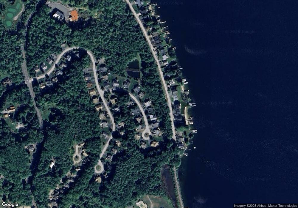
Map
Nearby Homes
- 90 Paugus Park Rd
- 3 Western Terrace
- 74 Paugus Park Rd
- 436 Elm St
- 53 Drummer Trail
- 6 Independence Way Unit A
- 25 Sweetbrier Way
- 37 Alpine Cir Unit A
- 11 Lantern Cir
- 144 Lake St Unit 11
- 109 Weirs Blvd Unit 12
- 20 Linny Ln
- 147 Weirs Blvd Unit 7
- 147 Weirs Blvd Unit 5
- 131 Lake St Unit 214
- 131 Lake St Unit 230
- 60 White Oaks Rd Unit 11
- 60 White Oaks Rd Unit 17
- 60 White Oaks Rd Unit 18
- 60 White Oaks Rd Unit 23
- 36 Port Way
- 42 Port Way Unit 21
- 42 Port Way
- 30 Port Way Unit 23
- 30 Port Way
- 48 Port Way Unit 20
- 48 Port Way
- 37 Port Way
- 29 Port Way Unit 11
- 29 Port Way
- 26 Port Way Unit 24
- 26 Port Way
- 45 Port Way
- 52 Port Way
- 53 Port Way Unit 14
- 53 Port Way
- 18 Port Way
- 71 Port Way
- 108 Natures View Dr
- 242 Paugus Park Rd