36 Primrose Ln Freeport, ME 04032
Estimated Value: $864,882 - $1,023,000
3
Beds
3
Baths
2,113
Sq Ft
$444/Sq Ft
Est. Value
About This Home
This home is located at 36 Primrose Ln, Freeport, ME 04032 and is currently estimated at $937,721, approximately $443 per square foot. 36 Primrose Ln is a home with nearby schools including Morse Street School, Mast Landing School, and Freeport Middle School.
Create a Home Valuation Report for This Property
The Home Valuation Report is an in-depth analysis detailing your home's value as well as a comparison with similar homes in the area
Home Values in the Area
Average Home Value in this Area
Tax History
| Year | Tax Paid | Tax Assessment Tax Assessment Total Assessment is a certain percentage of the fair market value that is determined by local assessors to be the total taxable value of land and additions on the property. | Land | Improvement |
|---|---|---|---|---|
| 2025 | $9,260 | $668,600 | $287,300 | $381,300 |
| 2024 | $8,744 | $655,000 | $273,700 | $381,300 |
| 2023 | $7,970 | $579,600 | $248,800 | $330,800 |
| 2022 | $7,558 | $553,700 | $222,900 | $330,800 |
| 2021 | $7,392 | $553,700 | $222,900 | $330,800 |
| 2020 | $7,071 | $505,100 | $194,600 | $310,500 |
| 2019 | $6,804 | $475,800 | $183,600 | $292,200 |
| 2018 | $6,777 | $450,300 | $179,900 | $270,400 |
| 2017 | $6,482 | $433,600 | $175,600 | $258,000 |
| 2016 | $6,292 | $398,200 | $158,900 | $239,300 |
| 2015 | $6,255 | $372,300 | $145,400 | $226,900 |
| 2014 | $5,882 | $372,300 | $145,400 | $226,900 |
| 2013 | $5,801 | $366,000 | $144,600 | $221,400 |
Source: Public Records
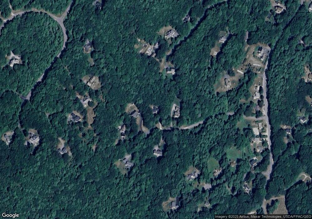
Map
Nearby Homes
- 20 Harvest Ridge Rd Unit 23
- 26 Harvest Ridge Rd Unit 24
- 15 Linwood Rd Unit 15
- 39 Hunter Rd
- 67 Farmview Ln
- 2 Tidal Brook Rd
- 5 Holbrook St
- 52 Birch Point Rd
- 62 Webster Rd
- 27 Youngs Ln Unit 27
- 10 Durham Rd
- 212 Main St
- 11 Orchard Hill Rd
- 42 Durham Rd
- 58 Maquoit Dr
- 70 Maquoit Dr
- 9 Gables Dr Unit 9
- 0 Bayview St
- 8 Statler Ln
- 52 Blueberry Cove Rd Unit 52
Your Personal Tour Guide
Ask me questions while you tour the home.