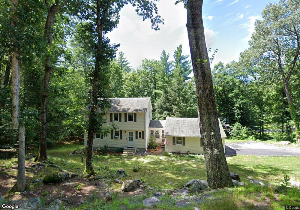
36 Ravine Rd Amherst, NH 03031
Estimated Value: $510,000 - $577,000
3
Beds
3
Baths
1,470
Sq Ft
$373/Sq Ft
Est. Value
About This Home
This home is located at 36 Ravine Rd, Amherst, NH 03031 and is currently estimated at $548,019, approximately $372 per square foot. 36 Ravine Rd is a home with nearby schools including Wilkins Elementary School, Amherst Middle School, and Souhegan Cooperative High School.
Ownership History
Date
Name
Owned For
Owner Type
Purchase Details
Closed on
Dec 23, 2019
Sold by
Nurmi Jason A and Nurmi Melissa K
Bought by
Nurmi Ft
Current Estimated Value
Purchase Details
Closed on
Mar 29, 2005
Sold by
Walker Heather and Walker Dana
Bought by
Nurmi Jason A and Nurmi Melissa K
Home Financials for this Owner
Home Financials are based on the most recent Mortgage that was taken out on this home.
Original Mortgage
$234,360
Interest Rate
5.56%
Mortgage Type
Purchase Money Mortgage
Purchase Details
Closed on
Jun 18, 2001
Sold by
Somssich Peter
Bought by
Walker Dana and Walker Heather
Home Financials for this Owner
Home Financials are based on the most recent Mortgage that was taken out on this home.
Original Mortgage
$221,016
Interest Rate
7.15%
Create a Home Valuation Report for This Property
The Home Valuation Report is an in-depth analysis detailing your home's value as well as a comparison with similar homes in the area
Home Values in the Area
Average Home Value in this Area
Purchase History
| Date | Buyer | Sale Price | Title Company |
|---|---|---|---|
| Nurmi Ft | -- | None Available | |
| Nurmi Jason A | $293,000 | -- | |
| Walker Dana | $229,900 | -- |
Source: Public Records
Mortgage History
| Date | Status | Borrower | Loan Amount |
|---|---|---|---|
| Previous Owner | Walker Dana | $210,493 | |
| Previous Owner | Walker Dana | $234,360 | |
| Previous Owner | Walker Dana | $221,016 |
Source: Public Records
Tax History Compared to Growth
Tax History
| Year | Tax Paid | Tax Assessment Tax Assessment Total Assessment is a certain percentage of the fair market value that is determined by local assessors to be the total taxable value of land and additions on the property. | Land | Improvement |
|---|---|---|---|---|
| 2024 | $7,943 | $346,400 | $125,000 | $221,400 |
| 2023 | $7,566 | $345,800 | $125,000 | $220,800 |
| 2022 | $7,307 | $345,800 | $125,000 | $220,800 |
| 2021 | $7,369 | $345,800 | $125,000 | $220,800 |
| 2020 | $7,305 | $256,500 | $100,000 | $156,500 |
| 2019 | $6,915 | $256,500 | $100,000 | $156,500 |
| 2018 | $6,984 | $256,500 | $100,000 | $156,500 |
| 2017 | $6,672 | $256,500 | $100,000 | $156,500 |
| 2016 | $6,438 | $256,500 | $100,000 | $156,500 |
| 2015 | $6,368 | $240,500 | $104,100 | $136,400 |
| 2014 | $6,412 | $240,500 | $104,100 | $136,400 |
| 2013 | $6,361 | $240,500 | $104,100 | $136,400 |
Source: Public Records
Map
Nearby Homes
- 9 Northfield Rd
- 1A Debbie Ln
- 18 Storybrook Ln
- 16 Storybrook Ln
- 7 Corduroy Rd Unit 20
- 3 Beechtree Way
- 6 Whittemore Ln
- 4 County Rd
- 2 County Rd
- 37 Baboosic Lake Rd
- 25 Atherton Ln
- 5 Chandler Ln
- 7 Miles Rd
- 135 Amherst St Unit 28
- 148 County Rd
- 150 County Rd Unit 4-142-8
- 150 County Rd
- 24 Deerwood Dr
- 7 Fox Run Rd
- 0 Claude Rd