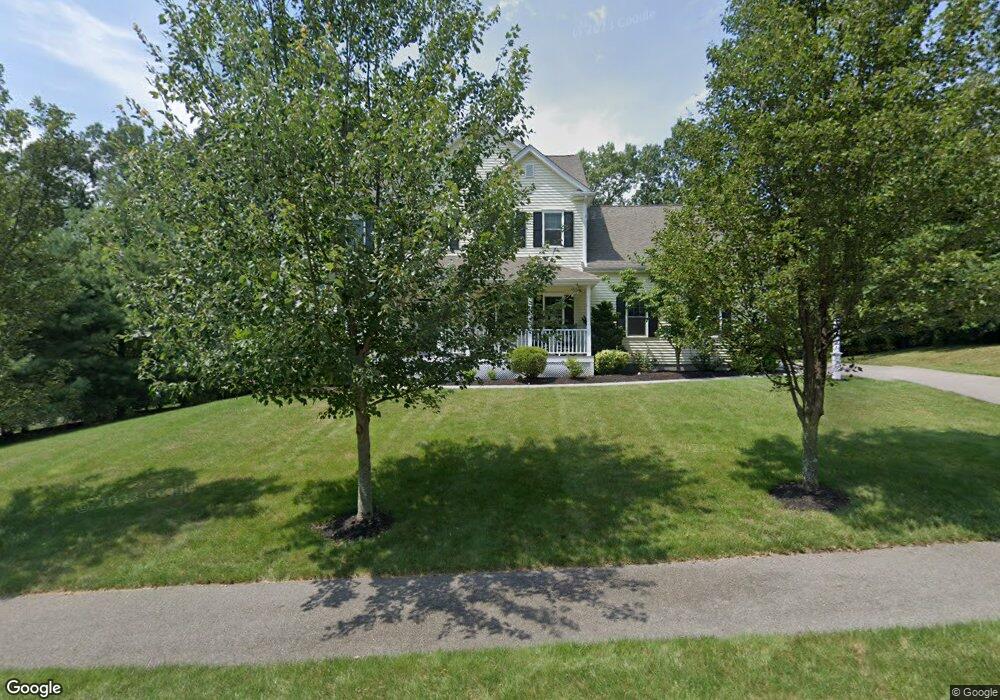
36 Ridge Rd Unit 39 Wrentham, MA 02093
West Wrentham NeighborhoodEstimated Value: $1,124,798 - $1,384,000
4
Beds
3
Baths
3,182
Sq Ft
$385/Sq Ft
Est. Value
About This Home
This home is located at 36 Ridge Rd Unit 39, Wrentham, MA 02093 and is currently estimated at $1,225,450, approximately $385 per square foot. 36 Ridge Rd Unit 39 is a home located in Norfolk County with nearby schools including Delaney Elementary School, Charles E Roderick, and Rise Prep Mayoral Academy Middle School.
Ownership History
Date
Name
Owned For
Owner Type
Purchase Details
Closed on
Sep 9, 2016
Sold by
Clay Adam D and Clay Jessica L
Bought by
Haskell Neil D and Lentini-Haskell Lisa M
Current Estimated Value
Home Financials for this Owner
Home Financials are based on the most recent Mortgage that was taken out on this home.
Original Mortgage
$520,000
Outstanding Balance
$416,022
Interest Rate
3.48%
Mortgage Type
Unknown
Estimated Equity
$809,428
Purchase Details
Closed on
Jun 28, 2011
Sold by
Moutain Dog Building C
Bought by
Clay Adam D and Clay Jessica L
Home Financials for this Owner
Home Financials are based on the most recent Mortgage that was taken out on this home.
Original Mortgage
$417,000
Interest Rate
4.63%
Mortgage Type
Purchase Money Mortgage
Create a Home Valuation Report for This Property
The Home Valuation Report is an in-depth analysis detailing your home's value as well as a comparison with similar homes in the area
Home Values in the Area
Average Home Value in this Area
Purchase History
| Date | Buyer | Sale Price | Title Company |
|---|---|---|---|
| Haskell Neil D | $665,000 | -- | |
| Clay Adam D | $629,400 | -- |
Source: Public Records
Mortgage History
| Date | Status | Borrower | Loan Amount |
|---|---|---|---|
| Open | Haskell Neil D | $520,000 | |
| Previous Owner | Clay Adam D | $417,000 |
Source: Public Records
Tax History Compared to Growth
Tax History
| Year | Tax Paid | Tax Assessment Tax Assessment Total Assessment is a certain percentage of the fair market value that is determined by local assessors to be the total taxable value of land and additions on the property. | Land | Improvement |
|---|---|---|---|---|
| 2025 | $11,992 | $1,034,700 | $324,200 | $710,500 |
| 2024 | $11,389 | $949,100 | $324,200 | $624,900 |
| 2023 | $11,411 | $904,200 | $294,800 | $609,400 |
| 2022 | $10,751 | $786,500 | $268,100 | $518,400 |
| 2021 | $10,477 | $744,600 | $268,100 | $476,500 |
| 2020 | $10,877 | $763,300 | $220,400 | $542,900 |
| 2019 | $10,648 | $754,100 | $236,100 | $518,000 |
| 2018 | $9,451 | $663,700 | $236,400 | $427,300 |
| 2017 | $9,218 | $646,900 | $231,900 | $415,000 |
| 2016 | $9,089 | $636,500 | $225,200 | $411,300 |
| 2015 | $10,138 | $676,800 | $274,200 | $402,600 |
| 2014 | $9,667 | $631,400 | $277,600 | $353,800 |
Source: Public Records
Map
Nearby Homes
- 65 Palmetto Dr Unit 65
- 9 Pebble Cir Unit 9
- 21 Palmetto Dr Unit 21
- 24 Palmetto Dr Unit 24
- 2 Duhamel Way
- 29 Squire Ln
- 1250 Pulaski Blvd
- 124 Lake St
- 25 Nature View Dr
- 20 Nature View Dr
- 340 Wrentham Rd
- 219 Dawn Blvd
- 2095 West St
- 10 Stoneham Dr
- 444 Knollwood Dr
- 352 Lake St
- 66 Newland Ave
- 56 Arland Ct
- 180 Pine Swamp Rd
- 56 Pine Swamp Rd