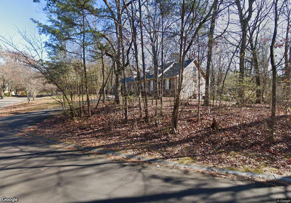
36 Rock Crest Dr Unit 332 Signal Mountain, TN 37377
Estimated Value: $778,000 - $949,000
--
Bed
1
Bath
4,194
Sq Ft
$209/Sq Ft
Est. Value
About This Home
This home is located at 36 Rock Crest Dr Unit 332, Signal Mountain, TN 37377 and is currently estimated at $878,015, approximately $209 per square foot. 36 Rock Crest Dr Unit 332 is a home located in Hamilton County with nearby schools including Thrasher Elementary School and Signal Mountain Middle/High School.
Ownership History
Date
Name
Owned For
Owner Type
Purchase Details
Closed on
Feb 22, 2022
Sold by
Baxley Jr Harold H
Bought by
Barford Adam
Current Estimated Value
Home Financials for this Owner
Home Financials are based on the most recent Mortgage that was taken out on this home.
Original Mortgage
$520,400
Outstanding Balance
$484,043
Interest Rate
3.69%
Mortgage Type
New Conventional
Estimated Equity
$393,972
Purchase Details
Closed on
Oct 4, 2013
Sold by
Goodrich Robert C and Goodrich Phyllis Jean
Bought by
Corn Baxley Jr Harold H and Corn Baxley Karen
Purchase Details
Closed on
Dec 26, 2011
Sold by
Goodrich Robert C and Goodrich Phyllis Jean
Bought by
Goodrich Robert C and Goodrich Phyllis Jean
Purchase Details
Closed on
Mar 20, 1998
Sold by
Bohl Leland S and Flemming Marjorie H
Bought by
Goodrich Robert C and Goodrich Mary L
Create a Home Valuation Report for This Property
The Home Valuation Report is an in-depth analysis detailing your home's value as well as a comparison with similar homes in the area
Home Values in the Area
Average Home Value in this Area
Purchase History
| Date | Buyer | Sale Price | Title Company |
|---|---|---|---|
| Barford Adam | $650,500 | None Listed On Document | |
| Corn Baxley Jr Harold H | $300,000 | Cumberland Title & Guaranty | |
| Goodrich Robert C | -- | None Available | |
| Goodrich Robert C | $232,500 | -- |
Source: Public Records
Mortgage History
| Date | Status | Borrower | Loan Amount |
|---|---|---|---|
| Open | Barford Adam | $520,400 |
Source: Public Records
Tax History Compared to Growth
Tax History
| Year | Tax Paid | Tax Assessment Tax Assessment Total Assessment is a certain percentage of the fair market value that is determined by local assessors to be the total taxable value of land and additions on the property. | Land | Improvement |
|---|---|---|---|---|
| 2024 | $3,449 | $154,175 | $0 | $0 |
| 2023 | $3,449 | $154,175 | $0 | $0 |
| 2022 | $3,449 | $154,175 | $0 | $0 |
| 2021 | $3,449 | $154,175 | $0 | $0 |
| 2020 | $3,379 | $122,200 | $0 | $0 |
| 2019 | $3,379 | $122,200 | $0 | $0 |
| 2018 | $3,379 | $122,200 | $0 | $0 |
| 2017 | $3,379 | $122,200 | $0 | $0 |
| 2016 | $2,824 | $0 | $0 | $0 |
| 2015 | $2,824 | $102,125 | $0 | $0 |
| 2014 | $2,824 | $0 | $0 | $0 |
Source: Public Records
Map
Nearby Homes
- 15 Grayswood Hill Rd
- 14 Carriage Hill
- 409 Mississippi Ave
- 206 Palisades Dr
- 608 Texas Ave
- 103 Arrow Dr
- 105 Mountain Court Dr
- 220 Palisades Dr
- 1425 Palisades Rd
- 779 James Blvd
- 115 Golf Dr
- 921 Ridgeway Ave
- 1059 Balmoral Dr
- 212 N Palisades Dr
- 907 Kentucky Ave
- 1425 Sunset Dr
- 958 Signal Rd
- 0 Cash Canyon Rd Unit 1510156
- 0 Cash Canyon Rd Unit 1509275
- 1419 Sunset Dr
- 36 Rock Crest Dr
- 24 Rock Crest Dr
- 37 Rock Crest Dr
- 40 Rock Crest Dr
- 33 Rock Crest Dr
- 3 Leith Cir
- 22 Rock Crest Dr
- 22 Rock Crest Dr Unit 2
- 42 Rock Crest Dr Unit 3
- 29 Rock Crest Dr
- 41 Rock Crest Dr
- 41 Rock Crest Dr Unit 3
- 20 Rock Crest Dr
- 20 Rock Crest Dr Unit 2
- 44 Rock Crest Dr
- 44 Rock Crest Dr Unit 332
- 7 Shoal Creek Rd
- 43 Rock Crest Dr
- 43 Rock Crest Dr Unit 131
- 27 Rock Crest Dr