36 Sage Meadow Cir Whitehall, MT 59759
Estimated Value: $708,000 - $801,000
1
Bed
1
Bath
1,200
Sq Ft
$637/Sq Ft
Est. Value
About This Home
This home is located at 36 Sage Meadow Cir, Whitehall, MT 59759 and is currently estimated at $764,639, approximately $637 per square foot. 36 Sage Meadow Cir is a home located in Jefferson County with nearby schools including Whitehall Elementary School, Whitehall Middle School, and Whitehall High School.
Ownership History
Date
Name
Owned For
Owner Type
Purchase Details
Closed on
May 12, 2008
Sold by
Landry David F and Landry Mary E
Bought by
Watson Gregory K and Watson Barbara A
Current Estimated Value
Create a Home Valuation Report for This Property
The Home Valuation Report is an in-depth analysis detailing your home's value as well as a comparison with similar homes in the area
Home Values in the Area
Average Home Value in this Area
Purchase History
| Date | Buyer | Sale Price | Title Company |
|---|---|---|---|
| Watson Gregory K | -- | None Available |
Source: Public Records
Tax History Compared to Growth
Tax History
| Year | Tax Paid | Tax Assessment Tax Assessment Total Assessment is a certain percentage of the fair market value that is determined by local assessors to be the total taxable value of land and additions on the property. | Land | Improvement |
|---|---|---|---|---|
| 2025 | $3,691 | $728,322 | $0 | $0 |
| 2024 | $3,904 | $606,810 | $0 | $0 |
| 2023 | $4,134 | $606,810 | $0 | $0 |
| 2022 | $3,249 | $412,246 | $0 | $0 |
| 2021 | $2,815 | $412,246 | $0 | $0 |
| 2020 | $2,730 | $349,404 | $0 | $0 |
| 2019 | $2,732 | $349,404 | $0 | $0 |
| 2018 | $2,266 | $314,890 | $0 | $0 |
| 2017 | $2,061 | $314,890 | $0 | $0 |
| 2016 | $1,916 | $269,044 | $0 | $0 |
| 2015 | $1,825 | $269,044 | $0 | $0 |
| 2014 | $1,586 | $131,689 | $0 | $0 |
Source: Public Records
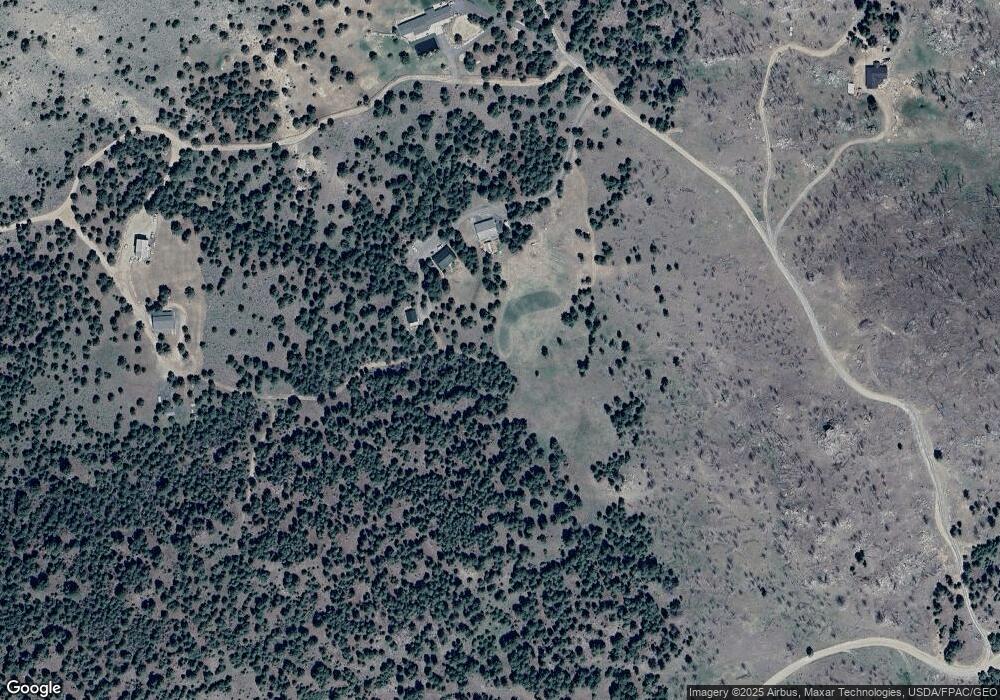
Map
Nearby Homes
- 91 Upper Radar Creek Rd
- tbd Upper Radar Creek Rd
- 16 Friendspring Rd
- 11 Lost Moose Bend
- 180 Lower Rader Creek Rd
- 91 Upper Rader Creek Rd
- tbd Upper Rader Creek Rd
- TBD Friendspring Rd
- 34 Appe Ln
- 456 Friendspring Rd
- 967 Mt Highway 2 W
- 842 Mt Highway 2 W
- TBD Grace Rd
- 426 Friend Spring Rd
- 189 Blacktail Canyon Rd
- LOT 6 Tbd Stonecrop Rd
- LOT 2 Tbd Stonecrop Rd
- 360 Roosevelt Dr
- 5845 Dry Creek Ranch Rd
- 2171 Janney Rd
- 28 Sage Meadow Cir
- 6 Forest Timbers Rd
- 89 Sage Meadow Cir
- 30 Sage Meadow Cir
- 25 Forest Timbers Rd
- 129 Upper Rader Creek Rd
- 42 Sage Meadow Cir
- 100 Sage Meadow Cir
- 111 Sage Meadow Cir
- 100 Upper Rader Creek Rd
- TBD Friend Spring
- NHN Upper Radar Creek
- Tract 24 Pipestone One
- 35 Forest Timbers Rd
- 211 Upper Rader Creek Rd
- 99 Sage Meadow Cir
- 84 Sage Mountain Trail
- 1 Friendspring Rd
- 54 Upper Rader Creek Rd
- 49 Upper Rader Creek Rd