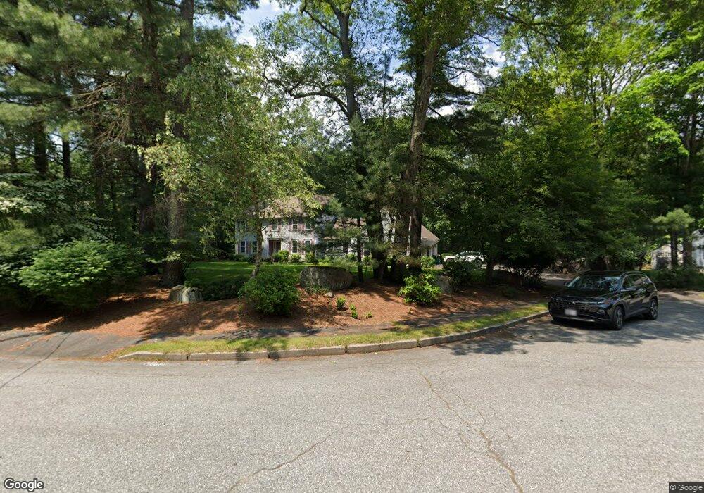
36 Squantum Ave North Easton, MA 02356
Estimated Value: $892,000 - $1,024,000
4
Beds
3
Baths
2,706
Sq Ft
$360/Sq Ft
Est. Value
About This Home
This home is located at 36 Squantum Ave, North Easton, MA 02356 and is currently estimated at $974,391, approximately $360 per square foot. 36 Squantum Ave is a home located in Bristol County with nearby schools including Easton Middle School.
Ownership History
Date
Name
Owned For
Owner Type
Purchase Details
Closed on
Apr 13, 2017
Sold by
Seigel Michael A
Bought by
Michael A Seigal Ret and Seigel
Current Estimated Value
Create a Home Valuation Report for This Property
The Home Valuation Report is an in-depth analysis detailing your home's value as well as a comparison with similar homes in the area
Home Values in the Area
Average Home Value in this Area
Purchase History
| Date | Buyer | Sale Price | Title Company |
|---|---|---|---|
| Michael A Seigal Ret | -- | -- | |
| Michael A Seigal Ret | -- | -- |
Source: Public Records
Tax History Compared to Growth
Tax History
| Year | Tax Paid | Tax Assessment Tax Assessment Total Assessment is a certain percentage of the fair market value that is determined by local assessors to be the total taxable value of land and additions on the property. | Land | Improvement |
|---|---|---|---|---|
| 2025 | $10,397 | $833,100 | $417,100 | $416,000 |
| 2024 | $10,453 | $783,000 | $367,900 | $415,100 |
| 2023 | $10,512 | $720,500 | $358,200 | $362,300 |
| 2022 | $9,871 | $641,400 | $292,500 | $348,900 |
| 2021 | $9,533 | $615,800 | $266,900 | $348,900 |
| 2020 | $9,239 | $600,700 | $261,900 | $338,800 |
| 2019 | $9,718 | $608,900 | $261,300 | $347,600 |
| 2018 | $9,512 | $586,800 | $261,300 | $325,500 |
| 2017 | $9,161 | $564,800 | $261,300 | $303,500 |
| 2016 | $8,916 | $550,700 | $261,900 | $288,800 |
| 2015 | $8,419 | $501,700 | $212,900 | $288,800 |
| 2014 | $8,448 | $507,400 | $222,300 | $285,100 |
Source: Public Records
Map
Nearby Homes
- 6 Kingsley Rd
- 89 Massapoag Ave
- 37 Kingsley Rd
- 218 Massapoag Ave
- 98 Massapoag Ave
- 260 Massapoag Ave
- 15 Randall Farm Dr
- 29 Owl Ridge Rd
- 3 Nicole Rd
- 1 Whittier Ln Unit 1
- 45 Randall St
- 18 Prudence Crandall Ln Unit 18
- 4 Eagle Rock Rd
- 79 Summer St
- 73 Summer St
- 11 Olde Stable Ln
- 8 Hobart Way
- 32 Spooner St
- 350 Mountain St
- 376 Mountain St
- 32 Squantum Ave
- 40 Squantum Ave
- Lot2 Arborway
- LOT 46 Tanglewood Estates
- LOT 16 Tanglewood-Phase 2
- 3 Rainbow Cir
- 29 Squantum Ave
- 7 Rainbow Cir
- 11 Rainbow Cir
- 71 Allen Rd
- 25 Squantum Ave
- 25 Squantum Ave Unit 1
- 75 Allen Rd
- 2 Spring St
- 15 Deer Meadow
- 63 Allen Rd
- 24 Squantum Ave
- 6 Rainbow Cir
- 12 Deer Meadows Ln
- 11 Longview Dr