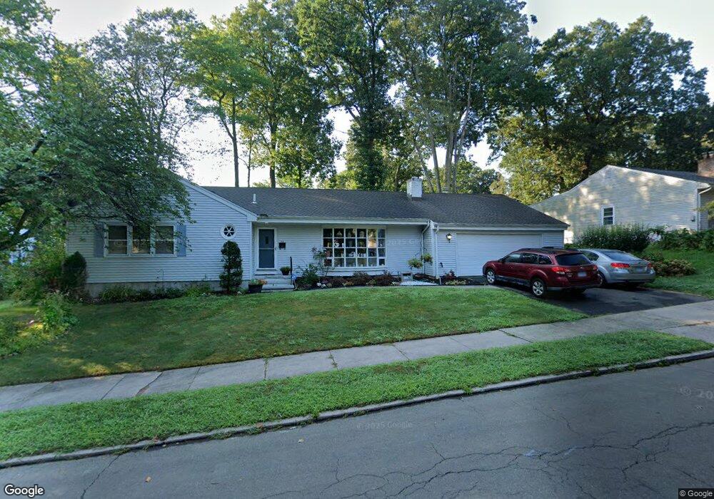
36 Stevenson Rd New Haven, CT 06515
Westville NeighborhoodEstimated Value: $470,474 - $525,000
3
Beds
2
Baths
1,876
Sq Ft
$268/Sq Ft
Est. Value
About This Home
This home is located at 36 Stevenson Rd, New Haven, CT 06515 and is currently estimated at $503,619, approximately $268 per square foot. 36 Stevenson Rd is a home located in New Haven County with nearby schools including Davis Academy for Arts & Design Innovation, Elm City Montessori School, and Hopkins School.
Ownership History
Date
Name
Owned For
Owner Type
Purchase Details
Closed on
Nov 20, 2009
Sold by
Mcs Assoc Lp
Bought by
Chorney David and Chorney Wendy
Current Estimated Value
Home Financials for this Owner
Home Financials are based on the most recent Mortgage that was taken out on this home.
Original Mortgage
$255,290
Outstanding Balance
$165,497
Interest Rate
4.86%
Estimated Equity
$338,122
Purchase Details
Closed on
May 20, 1998
Sold by
Cohen Jack and Cohen Miriam
Bought by
Mcs Assoc Lp
Create a Home Valuation Report for This Property
The Home Valuation Report is an in-depth analysis detailing your home's value as well as a comparison with similar homes in the area
Home Values in the Area
Average Home Value in this Area
Purchase History
We collect this data history from publicly available records. To have your information removed, we recommend requesting removal directly through your county’s website.
| Date | Buyer | Sale Price | Title Company |
|---|---|---|---|
| Chorney David | $260,000 | -- | |
| Mcs Assoc Lp | $125,000 | -- |
Source: Public Records
Mortgage History
We collect this data history from publicly available records. To have your information removed, we recommend requesting removal directly through your county’s website.
| Date | Status | Borrower | Loan Amount |
|---|---|---|---|
| Open | Mcs Assoc Lp | $255,290 |
Source: Public Records
Tax History
| Year | Tax Paid | Tax Assessment Tax Assessment Total Assessment is a certain percentage of the fair market value that is determined by local assessors to be the total taxable value of land and additions on the property. | Land | Improvement |
|---|---|---|---|---|
| 2025 | $9,738 | $247,170 | $63,210 | $183,960 |
| 2024 | $9,516 | $247,170 | $63,210 | $183,960 |
| 2023 | $9,195 | $247,170 | $63,210 | $183,960 |
| 2022 | $9,825 | $247,170 | $63,210 | $183,960 |
| 2021 | $8,336 | $189,980 | $41,020 | $148,960 |
| 2020 | $8,336 | $189,980 | $41,020 | $148,960 |
| 2019 | $8,165 | $189,980 | $41,020 | $148,960 |
| 2018 | $8,165 | $189,980 | $41,020 | $148,960 |
| 2017 | $7,348 | $189,980 | $41,020 | $148,960 |
| 2016 | $7,472 | $179,830 | $42,630 | $137,200 |
| 2015 | $7,472 | $179,830 | $42,630 | $137,200 |
| 2014 | $7,472 | $179,830 | $42,630 | $137,200 |
Source: Public Records
Map
Nearby Homes
- 224 Ray Rd
- 104 Knollwood Dr
- 70 Judwin Ave
- 62 Edgewood Way
- 15 Colby Ct
- 480 Fountain St
- 125 Lowin Ave
- 17 Davis St
- 295 Stevenson Rd
- 200 Alston Ave
- 2095 Chapel St
- 6 Barnett St
- 40 Fairfield St
- 56 Roger Rd
- 42 Westerleigh Rd
- 165 Fountain St Unit A1
- 165 Fountain St Unit A4
- 119 Westwood Rd
- 1980 Chapel St
- 337 Alden Ave Unit 16
Your Personal Tour Guide
Ask me questions while you tour the home.