36 Tree Top Ln Harpswell, ME 04066
Harpswell NeighborhoodEstimated Value: $674,000 - $844,000
3
Beds
2
Baths
1,800
Sq Ft
$430/Sq Ft
Est. Value
About This Home
This home is located at 36 Tree Top Ln, Harpswell, ME 04066 and is currently estimated at $773,553, approximately $429 per square foot. 36 Tree Top Ln is a home located in Cumberland County with nearby schools including Mt Ararat High School.
Ownership History
Date
Name
Owned For
Owner Type
Purchase Details
Closed on
Aug 18, 2016
Sold by
Brokate Bruce M and Brokate Heidi A
Bought by
Zinchuk Robin J and Zinchuk Douglas P
Current Estimated Value
Purchase Details
Closed on
Apr 6, 2012
Sold by
Peterson Douglas C
Bought by
Brokate Bruce M and Brokate Heidi A
Home Financials for this Owner
Home Financials are based on the most recent Mortgage that was taken out on this home.
Original Mortgage
$200,000
Interest Rate
3.95%
Mortgage Type
Purchase Money Mortgage
Purchase Details
Closed on
Oct 21, 2008
Sold by
Peterson Joyce
Bought by
Peterson Douglas C
Home Financials for this Owner
Home Financials are based on the most recent Mortgage that was taken out on this home.
Original Mortgage
$52,768
Interest Rate
6.41%
Mortgage Type
Purchase Money Mortgage
Create a Home Valuation Report for This Property
The Home Valuation Report is an in-depth analysis detailing your home's value as well as a comparison with similar homes in the area
Home Values in the Area
Average Home Value in this Area
Purchase History
| Date | Buyer | Sale Price | Title Company |
|---|---|---|---|
| Zinchuk Robin J | -- | -- | |
| Brokate Bruce M | -- | -- | |
| Peterson Douglas C | -- | -- |
Source: Public Records
Mortgage History
| Date | Status | Borrower | Loan Amount |
|---|---|---|---|
| Previous Owner | Brokate Bruce M | $200,000 | |
| Previous Owner | Peterson Douglas C | $52,768 |
Source: Public Records
Tax History Compared to Growth
Tax History
| Year | Tax Paid | Tax Assessment Tax Assessment Total Assessment is a certain percentage of the fair market value that is determined by local assessors to be the total taxable value of land and additions on the property. | Land | Improvement |
|---|---|---|---|---|
| 2024 | $3,145 | $494,500 | $210,100 | $284,400 |
| 2023 | $3,016 | $494,500 | $210,100 | $284,400 |
| 2022 | $2,918 | $494,500 | $210,100 | $284,400 |
| 2021 | $2,797 | $413,700 | $197,300 | $216,400 |
| 2020 | $2,788 | $413,700 | $197,300 | $216,400 |
| 2019 | $2,772 | $413,700 | $197,300 | $216,400 |
| 2018 | $140 | $413,700 | $197,300 | $216,400 |
| 2017 | $125 | $413,700 | $197,300 | $216,400 |
| 2016 | $3,075 | $480,400 | $197,300 | $283,100 |
| 2015 | $2,746 | $440,000 | $197,300 | $242,700 |
| 2013 | $2,543 | $440,000 | $197,300 | $242,700 |
Source: Public Records
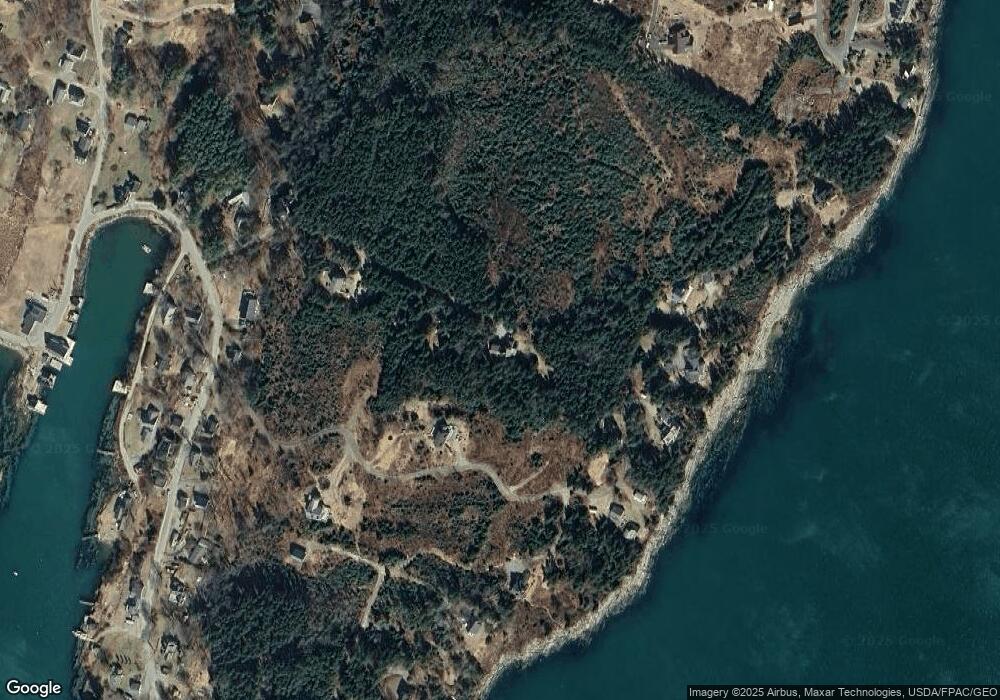
Map
Nearby Homes
- 87 Lowells Cove Rd
- 95 Blueberry Ln
- 1689 Harpswell Islands Rd
- 6 Merritt House Rd Unit 20
- 30 Osbourne Row
- 0 Bayview Rd Unit 2 1632776
- 20 Long Point Island
- 258 Gun Point Rd
- 10 Irene Ave
- 8 Linnel Dr
- 39-23 Gun Point Rd
- 1241 Harpswell Island Rd
- 1 Mallard Pond Rd
- Lot 2B Allen Point Rd
- Lot 2A Allen Point Rd
- 97 Merriman Cove Rd
- 10 S Colony Branch Rd
- 1843 Harpswell Neck Rd
- lot C Long Point Rd
- 125 Sunset Cove Rd
- 36 Tree Tops Ln
- 43 Back Shore Ln
- 33 Back Shore Ln
- 66 Back Shore Ln
- 74 Back Shore Ln
- 77 Back Shore Ln
- 54 Back Shore Ln
- 22 Tree Tops Ln
- 50 Back Shore Ln
- 22 Back Shore Ln
- 42 Ferris Rd
- 61 Lowells Cove Rd
- 9 Liberty Ln
- 11 Tree Tops Ln
- 65 Lishs Cove Rd
- 94 Back Shore Ln
- 32 Firehouse Rd
- 77 Lowells Cove Rd
- 73 Lowells Cove Rd
- 68 Lowells Cove Rd