36 Upper Baptist Hill Rd Conway, MA 01341
Estimated Value: $424,000 - $746,000
5
Beds
3
Baths
3,968
Sq Ft
$135/Sq Ft
Est. Value
About This Home
This home is located at 36 Upper Baptist Hill Rd, Conway, MA 01341 and is currently estimated at $534,483, approximately $134 per square foot. 36 Upper Baptist Hill Rd is a home located in Franklin County with nearby schools including Frontier Regional School.
Ownership History
Date
Name
Owned For
Owner Type
Purchase Details
Closed on
Feb 10, 2022
Sold by
James S Hardigg Ret
Bought by
Hardigg Arthur P
Current Estimated Value
Purchase Details
Closed on
Sep 27, 2011
Sold by
Hardigg Alice H
Bought by
Hardigg James S and Hardigg Arthur P
Purchase Details
Closed on
Oct 4, 1962
Bought by
Hardigg Alice H
Create a Home Valuation Report for This Property
The Home Valuation Report is an in-depth analysis detailing your home's value as well as a comparison with similar homes in the area
Home Values in the Area
Average Home Value in this Area
Purchase History
| Date | Buyer | Sale Price | Title Company |
|---|---|---|---|
| Hardigg Arthur P | $330,000 | None Available | |
| James S Hardigg Ret | -- | None Available | |
| Hardigg James S | -- | -- | |
| Hardigg Alice H | -- | -- |
Source: Public Records
Tax History
| Year | Tax Paid | Tax Assessment Tax Assessment Total Assessment is a certain percentage of the fair market value that is determined by local assessors to be the total taxable value of land and additions on the property. | Land | Improvement |
|---|---|---|---|---|
| 2025 | $8,137 | $563,500 | $78,600 | $484,900 |
| 2024 | $7,439 | $453,600 | $72,000 | $381,600 |
| 2023 | $7,779 | $453,600 | $72,000 | $381,600 |
| 2022 | $7,659 | $426,700 | $66,900 | $359,800 |
| 2021 | $7,419 | $396,100 | $63,600 | $332,500 |
| 2020 | $7,328 | $390,600 | $63,600 | $327,000 |
| 2019 | $7,285 | $390,600 | $63,600 | $327,000 |
| 2018 | $6,862 | $370,900 | $63,400 | $307,500 |
| 2017 | $6,580 | $370,700 | $63,200 | $307,500 |
| 2016 | $5,826 | $349,300 | $55,300 | $294,000 |
| 2015 | $5,648 | $349,300 | $55,300 | $294,000 |
Source: Public Records
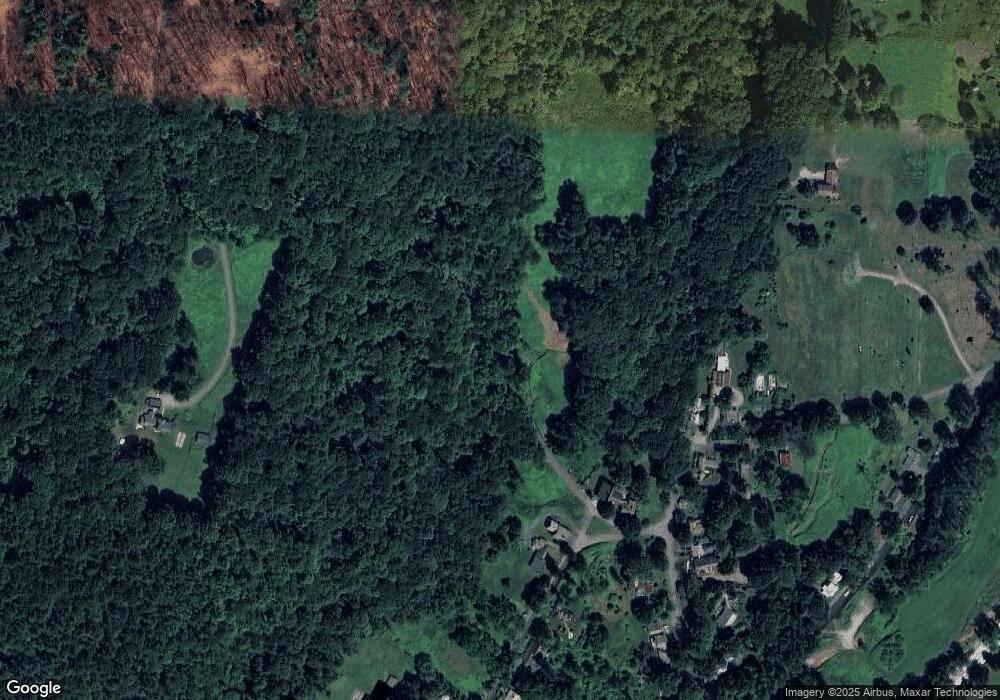
Map
Nearby Homes
- lot 1 Shelburne Falls Rd
- 85 Dacey Rd
- 71 Mathews Rd
- 3 Adams Ct Unit A
- 240 Beldingville Rd
- 527 Main St
- 345 Greenfield Rd
- 355 Greenfield Rd
- 208 Greenfield Rd
- 24 Elm St
- 0 Greenfield Rd Unit 73472322
- 26 S Main St
- 59 N Hillside Rd
- 40 Suburban Dr
- 0 North St Unit 73407299
- 7 Christian Ln
- 15 Crestview Dr
- 102 Elm St
- 18 Stage Rd
- 259 Wisdom Way
- 45 Upper Baptist Hill Rd
- 10 Pine Hill Rd
- 67 Upper Baptist Hill Rd
- 51 Baptist Hill Rd
- 37 Baptist Hill Rd
- 79 Upper Baptist Hill Rd
- 56 Baptist Hill Rd
- 60 Baptist Hill Rd
- 50 Baptist Hill Rd
- 96 Upper Baptist Hill Rd
- 80 Baptist Hill Rd
- 21 Baptist Hill Rd
- 85 Upper Baptist Hill Rd
- 38 Baptist Hill Rd
- 34 River St
- 16 Baptist Hill Rd
- 5 Cemetary Hill Rd
- 52 River St
- 106 Upper Baptist Hill Rd
- 12 River St
Your Personal Tour Guide
Ask me questions while you tour the home.