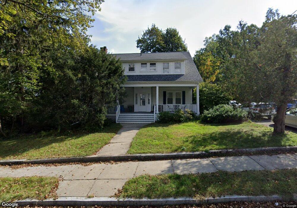
360 Central St Auburndale, MA 02466
Auburndale NeighborhoodEstimated Value: $1,334,684 - $1,507,000
4
Beds
3
Baths
2,264
Sq Ft
$622/Sq Ft
Est. Value
About This Home
This home is located at 360 Central St, Auburndale, MA 02466 and is currently estimated at $1,407,421, approximately $621 per square foot. 360 Central St is a home located in Middlesex County with nearby schools including Williams Elementary School, Charles E Brown Middle School, and Newton South High School.
Ownership History
Date
Name
Owned For
Owner Type
Purchase Details
Closed on
Jul 1, 1993
Sold by
Kaufman Douglas F and Kaufman Ruth K
Bought by
Levoy David H and Weissberg Laura H
Current Estimated Value
Home Financials for this Owner
Home Financials are based on the most recent Mortgage that was taken out on this home.
Original Mortgage
$194,000
Interest Rate
7.46%
Mortgage Type
Purchase Money Mortgage
Purchase Details
Closed on
Aug 9, 1991
Sold by
Kaufman Douglas F and Kaufman Ruth K
Bought by
Satwicz Paul R and Satwicz Nancy L
Create a Home Valuation Report for This Property
The Home Valuation Report is an in-depth analysis detailing your home's value as well as a comparison with similar homes in the area
Home Values in the Area
Average Home Value in this Area
Purchase History
| Date | Buyer | Sale Price | Title Company |
|---|---|---|---|
| Levoy David H | $242,500 | -- | |
| Satwicz Paul R | $12,775 | -- |
Source: Public Records
Mortgage History
| Date | Status | Borrower | Loan Amount |
|---|---|---|---|
| Closed | Satwicz Paul R | $194,000 |
Source: Public Records
Tax History
| Year | Tax Paid | Tax Assessment Tax Assessment Total Assessment is a certain percentage of the fair market value that is determined by local assessors to be the total taxable value of land and additions on the property. | Land | Improvement |
|---|---|---|---|---|
| 2025 | $11,422 | $1,165,500 | $904,200 | $261,300 |
| 2024 | $11,044 | $1,131,600 | $877,900 | $253,700 |
| 2023 | $10,554 | $1,036,700 | $676,500 | $360,200 |
| 2022 | $10,098 | $959,900 | $626,400 | $333,500 |
| 2021 | $9,319 | $866,100 | $590,900 | $275,200 |
| 2020 | $9,042 | $866,100 | $590,900 | $275,200 |
| 2019 | $8,787 | $840,900 | $573,700 | $267,200 |
| 2018 | $8,417 | $777,900 | $521,300 | $256,600 |
| 2017 | $8,161 | $733,900 | $491,800 | $242,100 |
| 2016 | $7,806 | $685,900 | $459,600 | $226,300 |
| 2015 | $7,463 | $642,800 | $429,500 | $213,300 |
Source: Public Records
Map
Nearby Homes
- 12 Oakwood Rd
- 17 Lasell St
- 2202 Commonwealth Ave Unit 1
- 283 Melrose St
- 10 Higgins St
- 232 Melrose St Unit 2
- 226 Auburn St Unit 226
- 194 Auburn St
- 1919 Commonwealth Ave Unit 1919
- 1917 Commonwealth Ave Unit 1917
- 1754 Washington St
- 7 Sharon Ave Unit 7
- 305 Webster St Unit 2
- 49 Staniford St
- 160 Pine St Unit 15
- 160 Pine St Unit 12
- 577 Grove St
- 0 Duncan Rd Unit 72925240
- 447 Waban Ave
- 27 Tennyson Rd
- 348 Central St
- 9 Oakwood Rd
- 366 Central St
- 357 Central St
- 21 Oakwood Rd
- 372 Central St
- 347 Central St
- 10 Leighton Rd
- 27 Oakwood Rd
- 27 Oakwood Rd
- 27 Oakwood Rd Unit 1
- 27 Oakwood Rd Unit 2
- 338 Central St
- 11 Virginia Rd
- 378 Central St
- 17 Leighton Rd
- 400 Central St
- 337 Central St
- 337 Central St Unit C
- 337 Central St Unit D
Your Personal Tour Guide
Ask me questions while you tour the home.