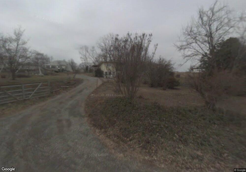
360 Cliff Ln Fall Branch, TN 37656
Estimated Value: $156,000 - $221,000
3
Beds
2
Baths
1,612
Sq Ft
$110/Sq Ft
Est. Value
About This Home
This home is located at 360 Cliff Ln, Fall Branch, TN 37656 and is currently estimated at $177,080, approximately $109 per square foot. 360 Cliff Ln is a home located in Greene County with nearby schools including Baileyton Elementary School, North Greene Middle School, and North Greene High School.
Ownership History
Date
Name
Owned For
Owner Type
Purchase Details
Closed on
Jun 19, 2019
Sold by
Washburn Matthew and Generaux Chloe
Bought by
Washburn Matthew Richard and Generaux Chloe Csarina
Current Estimated Value
Home Financials for this Owner
Home Financials are based on the most recent Mortgage that was taken out on this home.
Original Mortgage
$175,000
Outstanding Balance
$156,976
Interest Rate
5.36%
Mortgage Type
Construction
Estimated Equity
$20,104
Purchase Details
Closed on
Apr 4, 2019
Sold by
Breslin Andrew and Kolarsky Mark
Bought by
Washburn Matthew and Generaux Chloe
Purchase Details
Closed on
May 9, 2011
Sold by
Bowlin Lena M
Bought by
Breslin Andrew and Kolarsky Mark
Create a Home Valuation Report for This Property
The Home Valuation Report is an in-depth analysis detailing your home's value as well as a comparison with similar homes in the area
Purchase History
| Date | Buyer | Sale Price | Title Company |
|---|---|---|---|
| Washburn Matthew Richard | -- | Patriot Title Company | |
| Washburn Matthew | $88,000 | Patriot Title Company | |
| Breslin Andrew | $150,000 | -- |
Source: Public Records
Mortgage History
| Date | Status | Borrower | Loan Amount |
|---|---|---|---|
| Open | Washburn Matthew Richard | $175,000 |
Source: Public Records
Tax History
| Year | Tax Paid | Tax Assessment Tax Assessment Total Assessment is a certain percentage of the fair market value that is determined by local assessors to be the total taxable value of land and additions on the property. | Land | Improvement |
|---|---|---|---|---|
| 2025 | $82 | $4,950 | $4,950 | -- |
| 2024 | $82 | $4,950 | $4,950 | -- |
| 2023 | $82 | $4,950 | $0 | $0 |
| 2022 | $6,600 | $3,300 | $3,300 | $0 |
| 2021 | $66 | $3,300 | $3,300 | $0 |
| 2020 | $66 | $3,300 | $3,300 | $0 |
| 2019 | $193 | $3,300 | $3,300 | $0 |
| 2018 | $193 | $9,600 | $9,600 | $0 |
| 2017 | $189 | $9,600 | $9,600 | $0 |
| 2016 | $180 | $9,600 | $9,600 | $0 |
| 2015 | $180 | $9,600 | $9,600 | $0 |
| 2014 | $180 | $9,600 | $9,600 | $0 |
Source: Public Records
Map
Nearby Homes
- 1340 Ryan Rd
- Tbd Pitt Loop
- 176 Moulton Rd
- 211 Sunny Hill Ct
- 255 Bank Dr
- 2710 Jearoldstown Rd
- Lot 6 Tbd Tennessee 93
- Lot 4 Tbd Tennessee 93
- Lot 5 Tbd Tennessee 93
- Lot 2 Tbd Tennessee 93
- Lot 3 Tbd Tennessee 93
- Lot 1 Tbd Tennessee 93
- 520 Highway 93
- TBD Tennessee 93
- 238 Cherry Ln
- 2145 Tennessee 93
- 185 Milk Thistle Way
- Tbd Jackson Cemetery Rd
- 17505 Kingsport Hwy
- Tbd Horton Hwy Unit LotWP001
Your Personal Tour Guide
Ask me questions while you tour the home.