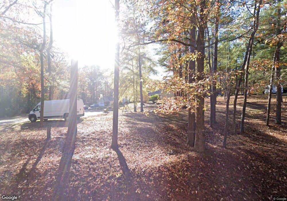
360 Hardage Rd Hamilton, GA 31811
Estimated Value: $481,808 - $658,000
4
Beds
4
Baths
4,102
Sq Ft
$135/Sq Ft
Est. Value
About This Home
This home is located at 360 Hardage Rd, Hamilton, GA 31811 and is currently estimated at $555,202, approximately $135 per square foot. 360 Hardage Rd is a home with nearby schools including Mulberry Creek Elementary School, Harris County Carver Middle School, and Harris County High School.
Ownership History
Date
Name
Owned For
Owner Type
Purchase Details
Closed on
Jun 15, 2022
Sold by
Brochu Peter A
Bought by
Brochu Margaret S and Brochu Kyle
Current Estimated Value
Purchase Details
Closed on
Jun 13, 1988
Bought by
Brochu Peter A
Create a Home Valuation Report for This Property
The Home Valuation Report is an in-depth analysis detailing your home's value as well as a comparison with similar homes in the area
Home Values in the Area
Average Home Value in this Area
Purchase History
| Date | Buyer | Sale Price | Title Company |
|---|---|---|---|
| Brochu Margaret S | -- | -- | |
| Brochu Peter A | $8,300 | -- |
Source: Public Records
Tax History Compared to Growth
Tax History
| Year | Tax Paid | Tax Assessment Tax Assessment Total Assessment is a certain percentage of the fair market value that is determined by local assessors to be the total taxable value of land and additions on the property. | Land | Improvement |
|---|---|---|---|---|
| 2024 | $3,572 | $132,371 | $11,736 | $120,635 |
| 2023 | $3,566 | $132,152 | $11,736 | $120,416 |
| 2022 | $3,566 | $132,152 | $11,736 | $120,416 |
| 2021 | $3,155 | $112,601 | $11,736 | $100,865 |
| 2020 | $3,155 | $112,601 | $11,736 | $100,865 |
| 2019 | $3,042 | $112,601 | $11,736 | $100,865 |
| 2018 | $3,104 | $112,601 | $11,736 | $100,865 |
| 2017 | $3,106 | $112,601 | $11,736 | $100,865 |
| 2016 | $2,615 | $103,715 | $11,736 | $91,979 |
| 2015 | $2,620 | $103,715 | $11,736 | $91,979 |
| 2014 | $2,625 | $103,715 | $11,736 | $91,979 |
Source: Public Records
Map
Nearby Homes
- 00 Mullins Rd
- 0 Mullins Rd
- 0 Graddick Rd Unit 223256
- 44 Big Sky Dr
- 287 Big Sky Ct
- 5072 Ga Highway 116
- 0 Hudson Dr Unit 10619818
- 0 Hudson Dr Unit 223658
- 385 Hudson Mill Cir
- 575 Mountain View Rd
- 60 Roseanne Loop
- 60 Rose Anne Loop
- 2440 Hudson Mill Cir
- 321 Mountain Creek Dr
- 0 Mountain Dr Unit Tr 3 8909245
- 0 Mountain Dr Unit Tr 1 8909230
- 0 Deer Ridge Dr Unit 10566083
- 0 Deer Ridge Dr Unit 16537430
- 362 Williams St
- 0 Barnes Mill Rd Unit E101172
- 306 Hardage Rd
- 270 Hardage Rd
- 234 Hardage Rd
- 530 Hardage Rd
- 1605 Lower Blue Springs Rd
- 1645 Lower Blue Springs Rd
- 1665 Lower Blue Springs Rd
- 506 Hardage Rd
- 1695 Lower Blue Springs Rd
- 78 Ct Walker Rd
- 187 Hardage Rd
- 1537 Lower Blue Springs Rd
- 1471 Lower Blue Springs Rd
- 200 Ct Walker Rd
- 0 Hardage Rd Unit 7252018
- 0 Hardage Rd
- 860 Hardage Rd
- 189 Calhoun Creek Rd
- 00 Graddick Rd Unit Lot 1
- 00 Graddick Rd
