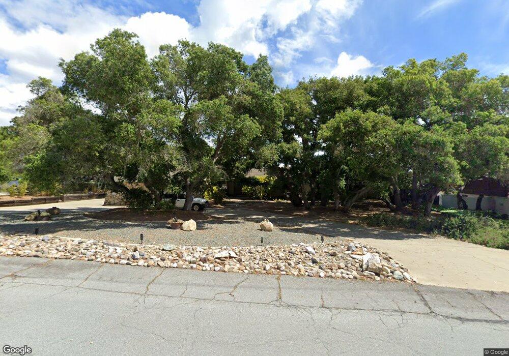
360 Saint Andrews Way Lompoc, CA 93436
Estimated Value: $891,000 - $1,023,000
3
Beds
4
Baths
2,806
Sq Ft
$343/Sq Ft
Est. Value
About This Home
This home is located at 360 Saint Andrews Way, Lompoc, CA 93436 and is currently estimated at $962,348, approximately $342 per square foot. 360 Saint Andrews Way is a home located in Santa Barbara County with nearby schools including Buena Vista Elementary School, Cabrillo High School, and Olive Grove Charter - Lompoc.
Ownership History
Date
Name
Owned For
Owner Type
Purchase Details
Closed on
Jun 9, 2020
Sold by
Langston Joseph M and Langston Maria A
Bought by
Langston Marie A and Langston Joseph M
Current Estimated Value
Purchase Details
Closed on
Nov 2, 1994
Sold by
Sherman Michael
Bought by
Langston Joseph M and Langston Marie A
Home Financials for this Owner
Home Financials are based on the most recent Mortgage that was taken out on this home.
Original Mortgage
$212,000
Interest Rate
8.86%
Mortgage Type
Seller Take Back
Purchase Details
Closed on
Sep 21, 1994
Sold by
Silliman Cliff
Bought by
Sherman Michael
Home Financials for this Owner
Home Financials are based on the most recent Mortgage that was taken out on this home.
Original Mortgage
$212,000
Interest Rate
8.86%
Mortgage Type
Seller Take Back
Create a Home Valuation Report for This Property
The Home Valuation Report is an in-depth analysis detailing your home's value as well as a comparison with similar homes in the area
Home Values in the Area
Average Home Value in this Area
Purchase History
| Date | Buyer | Sale Price | Title Company |
|---|---|---|---|
| Langston Marie A | -- | None Available | |
| Langston Joseph M | $265,000 | Chicago Title Company | |
| Sherman Michael | -- | Chicago Title |
Source: Public Records
Mortgage History
| Date | Status | Borrower | Loan Amount |
|---|---|---|---|
| Closed | Langston Joseph M | $212,000 |
Source: Public Records
Tax History
| Year | Tax Paid | Tax Assessment Tax Assessment Total Assessment is a certain percentage of the fair market value that is determined by local assessors to be the total taxable value of land and additions on the property. | Land | Improvement |
|---|---|---|---|---|
| 2025 | $5,090 | $445,096 | $193,152 | $251,944 |
| 2023 | $5,090 | $427,813 | $185,652 | $242,161 |
| 2022 | $5,008 | $419,425 | $182,012 | $237,413 |
| 2021 | $5,061 | $411,202 | $178,444 | $232,758 |
| 2020 | $5,009 | $406,987 | $176,615 | $230,372 |
| 2019 | $4,933 | $399,007 | $173,152 | $225,855 |
| 2018 | $4,861 | $391,184 | $169,757 | $221,427 |
| 2017 | $4,688 | $383,515 | $166,429 | $217,086 |
| 2016 | $4,336 | $375,996 | $163,166 | $212,830 |
| 2014 | $4,242 | $363,096 | $157,568 | $205,528 |
Source: Public Records
Map
Nearby Homes
- 579 Saint Andrews Way
- 372 Oak Hill Dr
- 445 Firestone Way
- 0 Oak Hill Dr Unit 24-783
- 210 Oak Hill Dr
- 240 Oak Hill Dr
- 4108 Constellation Rd
- 4139 Constellation Rd Unit 2
- 119 Hercules Ave
- 129 Hercules Ave
- 113 Gemini Ave
- 1445 Calle Marana
- 4490 Sirius Ave
- 3939 Mesa Circle Dr
- 3660 Rucker Rd
- 3851 Via Lato
- 3834 Jupiter Ave
- 3725 Jupiter Ave
- 3632 Via Lato
- 972 Pellham Dr
- 352 St Andrews Way
- 368 St Andrews Way
- 352 Saint Andrews Way
- 368 Saint Andrews Way
- 361 Falcon Crest Dr
- 376 Saint Andrews Way
- 344 Saint Andrews Way
- 367 Saint Andrews Way
- 369 Falcon Crest Dr
- 355 Saint Andrews Way
- 353 Falcon Crest Dr
- 345 Saint Andrews Way
- 379 St Andrews Way
- 379 Saint Andrews Way
- 345 Falcon Crest Dr
- 384 Saint Andrews Way
- 384 St Andrews Way
- 336 Saint Andrews Way
- 3970 Pinehurst Dr
- 3962 Pinehurst Dr