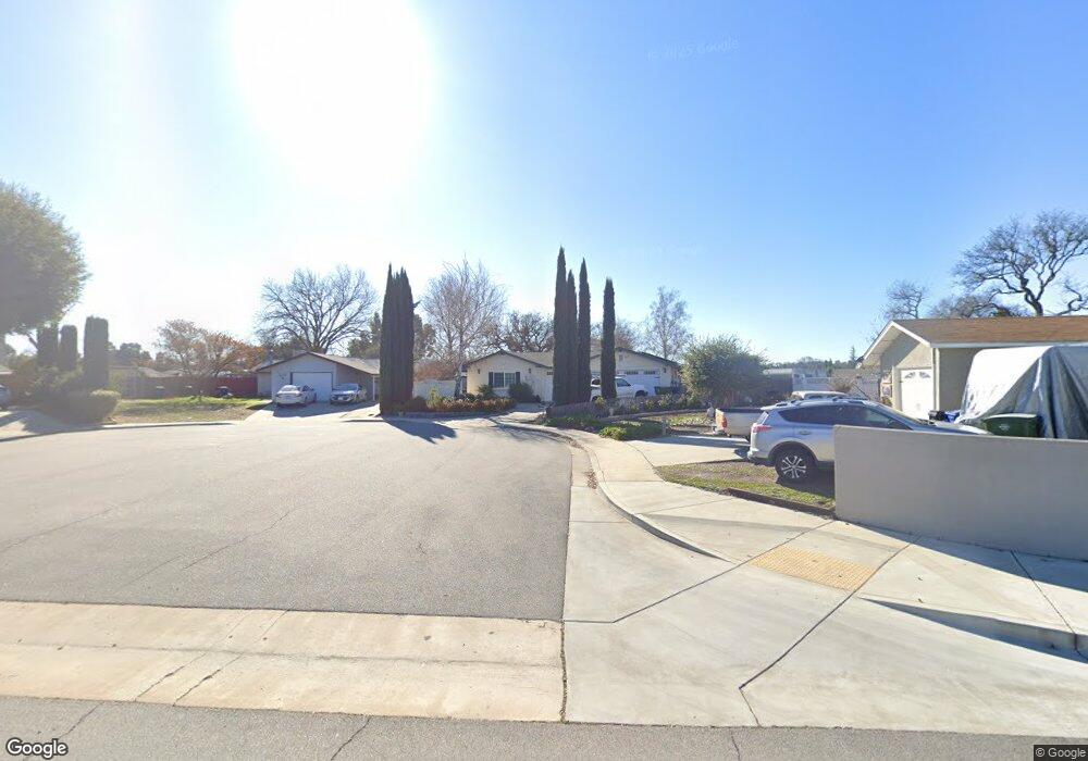
360 Scott St Paso Robles, CA 93446
Estimated Value: $615,767 - $742,000
4
Beds
2
Baths
1,673
Sq Ft
$391/Sq Ft
Est. Value
About This Home
This home is located at 360 Scott St, Paso Robles, CA 93446 and is currently estimated at $654,692, approximately $391 per square foot. 360 Scott St is a home located in San Luis Obispo County with nearby schools including Virginia Peterson Elementary School, Daniel Lewis Middle School, and Paso Robles High School.
Ownership History
Date
Name
Owned For
Owner Type
Purchase Details
Closed on
Feb 11, 2003
Sold by
Smith Michael J
Bought by
Smith Michael J and Smith Margaret Ann
Current Estimated Value
Home Financials for this Owner
Home Financials are based on the most recent Mortgage that was taken out on this home.
Original Mortgage
$153,000
Interest Rate
5.73%
Purchase Details
Closed on
Apr 21, 1999
Sold by
Smith Michael J
Bought by
Smith Michael J and Smith Margaret Ann
Home Financials for this Owner
Home Financials are based on the most recent Mortgage that was taken out on this home.
Original Mortgage
$100,700
Interest Rate
7.63%
Create a Home Valuation Report for This Property
The Home Valuation Report is an in-depth analysis detailing your home's value as well as a comparison with similar homes in the area
Purchase History
| Date | Buyer | Sale Price | Title Company |
|---|---|---|---|
| Smith Michael J | -- | Cuesta Title Company | |
| Smith Michael J | -- | Cuesta Title Company | |
| Smith Michael J | -- | Chicago Title Co | |
| Smith Michael J | -- | Chicago Title Co |
Source: Public Records
Mortgage History
| Date | Status | Borrower | Loan Amount |
|---|---|---|---|
| Closed | Smith Michael J | $153,000 | |
| Closed | Smith Michael J | $100,700 |
Source: Public Records
Tax History
| Year | Tax Paid | Tax Assessment Tax Assessment Total Assessment is a certain percentage of the fair market value that is determined by local assessors to be the total taxable value of land and additions on the property. | Land | Improvement |
|---|---|---|---|---|
| 2025 | $2,482 | $234,826 | $56,623 | $178,203 |
| 2024 | $2,440 | $230,222 | $55,513 | $174,709 |
| 2023 | $2,440 | $225,709 | $54,425 | $171,284 |
| 2022 | $2,402 | $221,284 | $53,358 | $167,926 |
| 2021 | $2,359 | $216,946 | $52,312 | $164,634 |
| 2020 | $2,326 | $214,722 | $51,776 | $162,946 |
| 2019 | $2,292 | $210,512 | $50,761 | $159,751 |
| 2018 | $2,259 | $206,385 | $49,766 | $156,619 |
| 2017 | $2,123 | $202,340 | $48,791 | $153,549 |
| 2016 | $2,095 | $198,374 | $47,835 | $150,539 |
| 2015 | $2,148 | $195,395 | $47,117 | $148,278 |
| 2014 | $2,073 | $191,569 | $46,195 | $145,374 |
Source: Public Records
Map
Nearby Homes
- 358 Via Ramona
- 1607 Westfield Rd
- 268 Camino Lobo
- 618 Queenanne Rd
- 250 Santa Bella
- 2314 Ashwood Place
- 1340 Stoney Creek Rd
- 902 Sycamore Canyon Rd
- 1834 Lark Ellen Dr
- 1728 Lark Ellen Dr
- 1309 Stoney Creek Rd
- 17 Green Ct
- 609 Larkfield Place
- 1744 Ponderosa Ln
- 320 Cool Valley Dr
- 1824 Marigold Ln
- 5185 Airport Rd
- 334 Partridge Ave
- 4 Dove Ct
- 2316 Amber Grain Place
- 370 Scott St
- 350 Scott St
- 380 Scott St
- 1832 Cottonwood Cir
- 1836 Cottonwood Cir
- 1828 Cottonwood Cir
- 1838 Cottonwood Cir
- 1824 Cottonwood Cir
- 1844 Cottonwood Cir
- 1813 Driftwood Dr
- 1819 Driftwood Dr
- 1809 Driftwood Dr
- 1822 Cottonwood Cir
- 1807 Driftwood Dr
- 1825 Driftwood Dr
- 1803 Driftwood Dr
- 1848 Cottonwood Cir
- 1845 Cottonwood Cir
- 1816 Cottonwood Cir
- 1801 Driftwood Dr
Your Personal Tour Guide
Ask me questions while you tour the home.