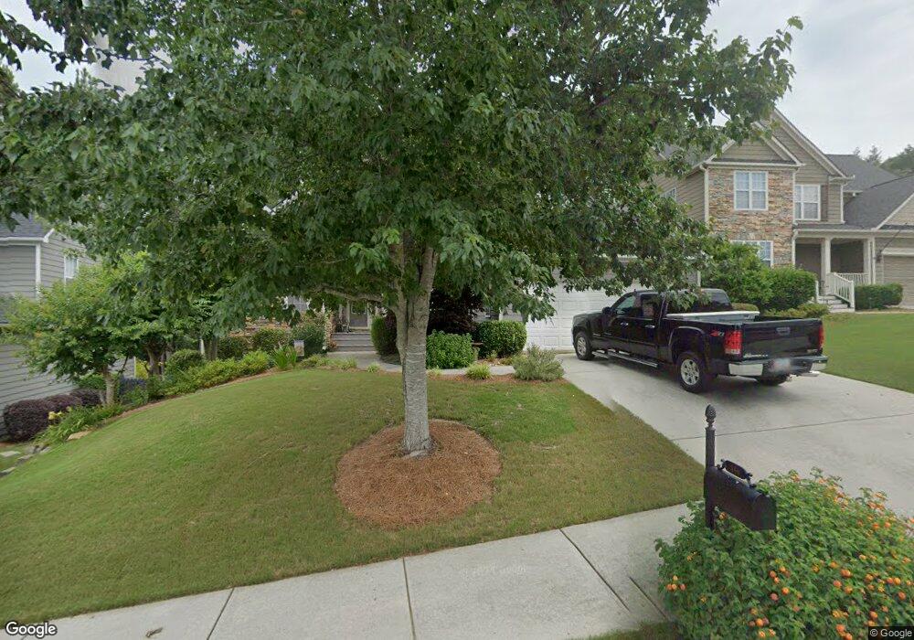
360 Spring Hill Dr Canton, GA 30115
Estimated Value: $464,278 - $476,000
4
Beds
3
Baths
3,018
Sq Ft
$156/Sq Ft
Est. Value
About This Home
This home is located at 360 Spring Hill Dr, Canton, GA 30115 and is currently estimated at $470,139, approximately $155 per square foot. 360 Spring Hill Dr is a home located in Cherokee County with nearby schools including Hasty Elementary School Fine Arts Academy, Teasley Middle School, and Cherokee High School.
Ownership History
Date
Name
Owned For
Owner Type
Purchase Details
Closed on
Feb 28, 2007
Sold by
Wyatt Daphne
Bought by
Fann Raymond and Fann Deidre L
Current Estimated Value
Home Financials for this Owner
Home Financials are based on the most recent Mortgage that was taken out on this home.
Original Mortgage
$173,600
Outstanding Balance
$103,454
Interest Rate
6.16%
Mortgage Type
New Conventional
Estimated Equity
$366,685
Purchase Details
Closed on
Sep 25, 2006
Sold by
Allen Robert L
Bought by
Wyatt Daphne
Home Financials for this Owner
Home Financials are based on the most recent Mortgage that was taken out on this home.
Original Mortgage
$31,425
Interest Rate
6.46%
Mortgage Type
Unknown
Create a Home Valuation Report for This Property
The Home Valuation Report is an in-depth analysis detailing your home's value as well as a comparison with similar homes in the area
Home Values in the Area
Average Home Value in this Area
Purchase History
| Date | Buyer | Sale Price | Title Company |
|---|---|---|---|
| Fann Raymond | $217,000 | -- | |
| Wyatt Daphne | $209,500 | -- |
Source: Public Records
Mortgage History
| Date | Status | Borrower | Loan Amount |
|---|---|---|---|
| Open | Fann Raymond | $173,600 | |
| Previous Owner | Wyatt Daphne | $31,425 | |
| Previous Owner | Wyatt Daphne | $167,600 |
Source: Public Records
Tax History
| Year | Tax Paid | Tax Assessment Tax Assessment Total Assessment is a certain percentage of the fair market value that is determined by local assessors to be the total taxable value of land and additions on the property. | Land | Improvement |
|---|---|---|---|---|
| 2025 | $742 | $179,680 | $34,000 | $145,680 |
| 2024 | $734 | $171,360 | $32,000 | $139,360 |
| 2023 | $535 | $169,160 | $32,000 | $137,160 |
| 2022 | $603 | $147,080 | $30,000 | $117,080 |
| 2021 | $487 | $122,400 | $24,000 | $98,400 |
| 2020 | $427 | $108,760 | $19,600 | $89,160 |
| 2019 | $426 | $100,000 | $19,600 | $80,400 |
| 2018 | $437 | $96,440 | $19,600 | $76,840 |
| 2017 | $448 | $218,500 | $16,800 | $70,600 |
| 2016 | $464 | $215,600 | $16,800 | $69,440 |
| 2015 | $480 | $207,700 | $16,000 | $67,080 |
| 2014 | $2,426 | $193,500 | $14,000 | $63,400 |
Source: Public Records
Map
Nearby Homes
- 302 and 304 Garland Way
- 312 Hillcrest Ln
- 254 Hillcrest Ridge Unit 2
- 517 Hillcrest Cross Rd
- 727 Lower Scott Mill Rd
- 3789 Cherokee Overlook Dr
- 3714 Cherokee Overlook Dr Unit 2
- 365 Russell King Ln
- 122 W South St
- 701 Longview Dr
- 3548 Cherokee Overlook Dr
- 251 E Killian St
- 120 E Killian St
- 241 E Killian St
- 240 Rose Ridge Dr
- 206 Brick Mill Dr
- 231 Breeze Hill Ln
- 253 Newt Fowler Ln
- 407 Cherubs Smile
- 308 Morning Frost
- 362 Spring Hill Dr
- 358 Spring Hill Dr
- 358 Springhill Dr
- 539 Autumn Ridge Dr Unit 24
- 539 Autumn Ridge Dr
- 356 Springhill Dr
- 364 Spring Hill Dr Unit 1
- 537 Autumn Ridge Dr
- 537 Autumn Ridge Dr Unit 250
- 541 Autumn Ridge Dr Unit 1A
- 339 Spring Hill Dr Unit 1
- 341 Springhill Dr
- 535 Autumn Ridge Dr
- 337 Spring Hill Dr Unit 1
- 543 Autumn Ridge Dr
- 543 Autumn Ridge Dr Unit 1A
- 531 Autumn Ridge Dr Unit 1A
- 354 Springhill Dr
- 366 Spring Hill Dr Unit 1
- 529 Autumn Ridge Dr Unit 1A
Your Personal Tour Guide
Ask me questions while you tour the home.