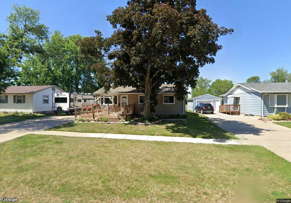
360 W 8th Ave Marion, IA 52302
Estimated Value: $175,024 - $190,000
4
Beds
1
Bath
846
Sq Ft
$217/Sq Ft
Est. Value
About This Home
This home is located at 360 W 8th Ave, Marion, IA 52302 and is currently estimated at $183,506, approximately $216 per square foot. 360 W 8th Ave is a home located in Linn County with nearby schools including Francis Marion Intermediate School, Vernon Middle School, and Marion High School.
Ownership History
Date
Name
Owned For
Owner Type
Purchase Details
Closed on
Dec 21, 2001
Sold by
Hamlett Jon E and Hamlett Evelyn L
Bought by
Steffen Brett T and Steffen Janet A
Current Estimated Value
Home Financials for this Owner
Home Financials are based on the most recent Mortgage that was taken out on this home.
Original Mortgage
$99,960
Outstanding Balance
$38,944
Interest Rate
6.53%
Mortgage Type
VA
Estimated Equity
$144,562
Purchase Details
Closed on
Jun 18, 1998
Sold by
Husman Harold L and Husman Patricia L
Bought by
Hamlett Jon E and Hamlett Evelyn L
Home Financials for this Owner
Home Financials are based on the most recent Mortgage that was taken out on this home.
Original Mortgage
$82,566
Interest Rate
7.27%
Create a Home Valuation Report for This Property
The Home Valuation Report is an in-depth analysis detailing your home's value as well as a comparison with similar homes in the area
Home Values in the Area
Average Home Value in this Area
Purchase History
| Date | Buyer | Sale Price | Title Company |
|---|---|---|---|
| Steffen Brett T | $97,500 | -- | |
| Hamlett Jon E | $84,000 | -- |
Source: Public Records
Mortgage History
| Date | Status | Borrower | Loan Amount |
|---|---|---|---|
| Open | Steffen Brett T | $99,960 | |
| Previous Owner | Hamlett Jon E | $82,566 |
Source: Public Records
Tax History Compared to Growth
Tax History
| Year | Tax Paid | Tax Assessment Tax Assessment Total Assessment is a certain percentage of the fair market value that is determined by local assessors to be the total taxable value of land and additions on the property. | Land | Improvement |
|---|---|---|---|---|
| 2025 | $2,878 | $181,700 | $19,500 | $162,200 |
| 2024 | $2,792 | $172,500 | $19,500 | $153,000 |
| 2023 | $2,792 | $172,500 | $19,500 | $153,000 |
| 2022 | $2,694 | $137,700 | $19,500 | $118,200 |
| 2021 | $2,566 | $137,700 | $19,500 | $118,200 |
| 2020 | $2,566 | $125,400 | $19,500 | $105,900 |
| 2019 | $2,402 | $118,400 | $19,500 | $98,900 |
| 2018 | $2,342 | $118,400 | $19,500 | $98,900 |
| 2017 | $2,350 | $115,900 | $19,500 | $96,400 |
| 2016 | $2,504 | $115,900 | $19,500 | $96,400 |
| 2015 | $2,495 | $115,900 | $19,500 | $96,400 |
| 2014 | $2,302 | $109,900 | $19,500 | $90,400 |
| 2013 | $2,080 | $109,900 | $19,500 | $90,400 |
Source: Public Records
Map
Nearby Homes
- 655 W 9th Ave
- 112 Merion Blvd
- 103 Merion Blvd
- 245 8th Ave
- 1074 Archer Dr
- 1080 Everdeen Ct
- 1032 Archer Dr
- 1089 Archer Dr
- 840 Longbow Ct
- 1013 Blairs Ferry R
- 1195 Lindale Dr
- 915 W 10th Ave
- 806 Longbow Ct
- 1145 Blairs Ferry Rd
- 785 Bowstring Dr
- 823 Flight Dr
- 1065 W 10th Ave
- 1930 Bowstring Dr
- 1932 Bowstring Dr
- 1125 W 10th Ave