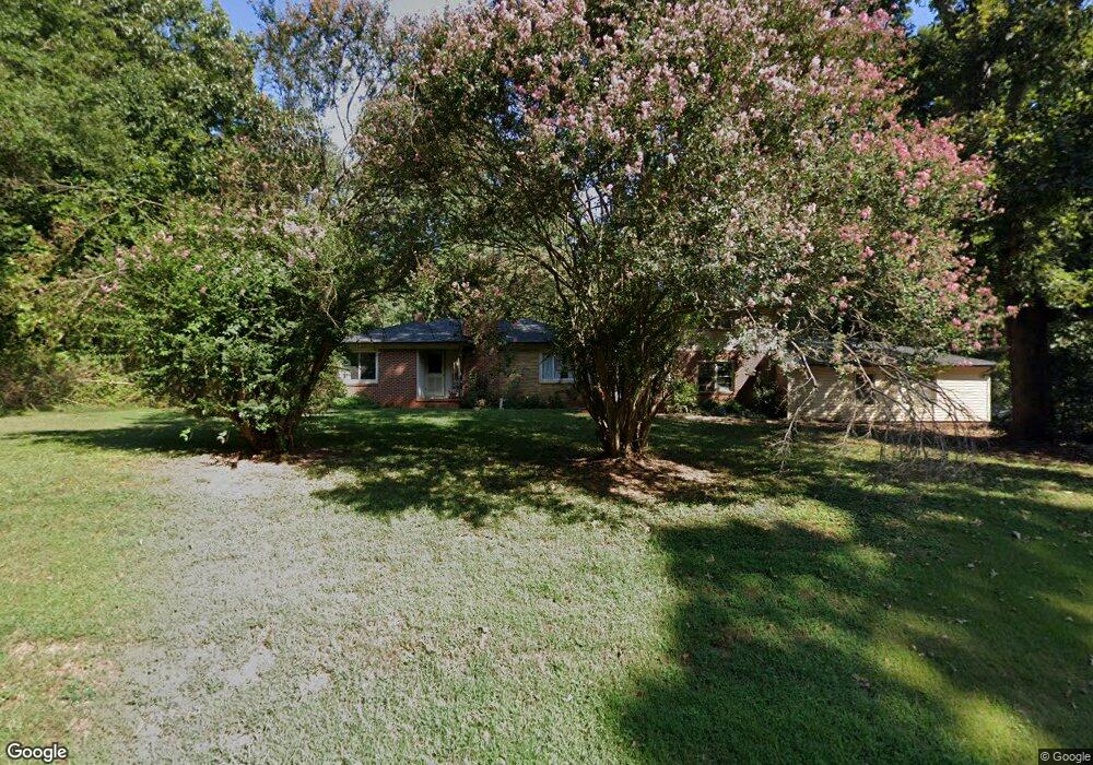
3600 Highway 182 Lincolnton, NC 28092
Estimated Value: $267,717 - $340,000
4
Beds
2
Baths
2,050
Sq Ft
$148/Sq Ft
Est. Value
About This Home
This home is located at 3600 Highway 182, Lincolnton, NC 28092 and is currently estimated at $303,679, approximately $148 per square foot. 3600 Highway 182 is a home located in Lincoln County with nearby schools including Norris S. Childers Elementary School, West Lincoln Middle, and West Lincoln High School.
Ownership History
Date
Name
Owned For
Owner Type
Purchase Details
Closed on
Apr 24, 2006
Sold by
Hallman Sarah H and Hallman Jerald A
Bought by
Coleman Ian Thomas and Coleman Jennifer Rebecca
Current Estimated Value
Home Financials for this Owner
Home Financials are based on the most recent Mortgage that was taken out on this home.
Original Mortgage
$95,200
Outstanding Balance
$59,720
Interest Rate
8%
Mortgage Type
Assumption
Estimated Equity
$243,959
Create a Home Valuation Report for This Property
The Home Valuation Report is an in-depth analysis detailing your home's value as well as a comparison with similar homes in the area
Home Values in the Area
Average Home Value in this Area
Purchase History
| Date | Buyer | Sale Price | Title Company |
|---|---|---|---|
| Coleman Ian Thomas | $119,000 | None Available |
Source: Public Records
Mortgage History
| Date | Status | Borrower | Loan Amount |
|---|---|---|---|
| Open | Coleman Ian Thomas | $95,200 |
Source: Public Records
Tax History Compared to Growth
Tax History
| Year | Tax Paid | Tax Assessment Tax Assessment Total Assessment is a certain percentage of the fair market value that is determined by local assessors to be the total taxable value of land and additions on the property. | Land | Improvement |
|---|---|---|---|---|
| 2025 | $1,775 | $257,726 | $29,016 | $228,710 |
| 2024 | $1,755 | $257,726 | $29,016 | $228,710 |
| 2023 | $1,755 | $257,726 | $29,016 | $228,710 |
| 2022 | $1,236 | $148,537 | $22,739 | $125,798 |
| 2021 | $1,236 | $148,537 | $22,739 | $125,798 |
| 2020 | $1,091 | $148,537 | $22,739 | $125,798 |
| 2019 | $1,091 | $148,537 | $22,739 | $125,798 |
| 2018 | $1,101 | $136,385 | $21,223 | $115,162 |
| 2017 | $1,000 | $136,385 | $21,223 | $115,162 |
| 2016 | $1,000 | $136,385 | $21,223 | $115,162 |
| 2015 | $1,063 | $136,385 | $21,223 | $115,162 |
| 2014 | $1,049 | $137,432 | $22,270 | $115,162 |
Source: Public Records
Map
Nearby Homes
- 940 Guy Heavner Rd
- 1495 Leonards Fork Church Rd
- 2124 Shoal Rd
- 5740 Crouse Rd
- 1000 Creekside Dr
- 2488 Shoal Rd
- 1357 Malden Ct
- 1084 Lyndsey Brook Ct
- 1074 Lyndsey Brook Ct
- 000 Leonards Fork Church Rd
- 3103 Richview Dr
- 938 Lyndsey Brook Ct
- 00 Flay Rd
- 4850 Gideon Dr
- 5118 Flay Rd
- 2383 N Carolina 182
- 4832 Gideon Dr
- 5199 Helms End of Trail
- 2006 Kollege Ln
- 142 Alf Hoover Rd
- 3600 N Carolina 182
- 3636 Highway 182
- 3635 Highway 182
- 3575 Highway 182
- 3514 Highway 182
- 3582 Highway 182
- 3742 Highway 182
- 3748 Highway 182
- 3758 Highway 182
- 3788 Highway 182
- 3405 Highway 182
- 3394 Highway 182
- 3814 Highway 182
- 1160 Sain Rd
- 3817 Highway 182
- 3830 Highway 182
- 3834 Highway 182
- 73.72 Highway 182 Hwy
- 3850 Highway 182
- 1130 Sain Rd