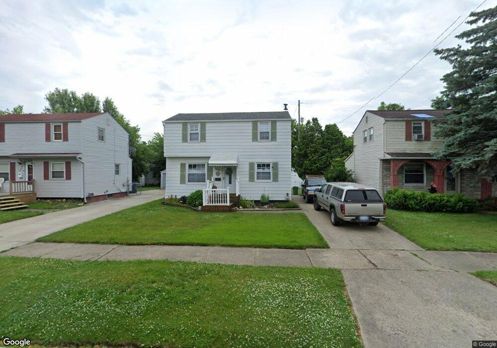
3602 Dale Ave Unit Bldg-Unit Flint, MI 48506
Potter Longway NeighborhoodEstimated Value: $72,000 - $85,533
3
Beds
1
Bath
964
Sq Ft
$79/Sq Ft
Est. Value
About This Home
This home is located at 3602 Dale Ave Unit Bldg-Unit, Flint, MI 48506 and is currently estimated at $76,383, approximately $79 per square foot. 3602 Dale Ave Unit Bldg-Unit is a home located in Genesee County with nearby schools including Potter School, Richfield Public School Academy, and Flex High Burton.
Ownership History
Date
Name
Owned For
Owner Type
Purchase Details
Closed on
Jun 1, 2018
Sold by
Farrar David A and Farrar Barbara J
Bought by
Kesteloot Culise
Current Estimated Value
Home Financials for this Owner
Home Financials are based on the most recent Mortgage that was taken out on this home.
Original Mortgage
$32,000
Outstanding Balance
$27,616
Interest Rate
4.5%
Mortgage Type
New Conventional
Estimated Equity
$48,767
Create a Home Valuation Report for This Property
The Home Valuation Report is an in-depth analysis detailing your home's value as well as a comparison with similar homes in the area
Home Values in the Area
Average Home Value in this Area
Purchase History
| Date | Buyer | Sale Price | Title Company |
|---|---|---|---|
| Kesteloot Culise | $40,000 | Liberty Title |
Source: Public Records
Mortgage History
| Date | Status | Borrower | Loan Amount |
|---|---|---|---|
| Open | Kesteloot Culise | $32,000 |
Source: Public Records
Tax History
| Year | Tax Paid | Tax Assessment Tax Assessment Total Assessment is a certain percentage of the fair market value that is determined by local assessors to be the total taxable value of land and additions on the property. | Land | Improvement |
|---|---|---|---|---|
| 2025 | $998 | $37,000 | $0 | $0 |
| 2024 | $904 | $28,900 | $0 | $0 |
| 2023 | $888 | $22,500 | $0 | $0 |
| 2022 | $0 | $19,500 | $0 | $0 |
| 2021 | $923 | $15,400 | $0 | $0 |
| 2020 | $832 | $13,000 | $0 | $0 |
| 2019 | $811 | $11,700 | $0 | $0 |
| 2018 | $796 | $11,500 | $0 | $0 |
| 2017 | $774 | $0 | $0 | $0 |
| 2016 | $769 | $0 | $0 | $0 |
| 2015 | -- | $0 | $0 | $0 |
| 2014 | -- | $0 | $0 | $0 |
| 2012 | -- | $14,400 | $0 | $0 |
Source: Public Records
Map
Nearby Homes
- 3614 Holly Ave
- 3617 Davison Rd
- 3739 Marmion Ave
- 3813 Holly Ave
- 3740 Ivanhoe Ave
- 3232 Dale Ave
- 3421 Brewster St
- 3822 Whittier Ave
- 3213 Holly Ave
- 3806 Pitkin Ave
- 2146 N Center Rd
- 3149 Whittier Ave
- 2002 Branch Rd
- 3814 Beechwood Ave
- 3602 Dakota Ave
- 3314 Dakota Ave
- 3413 Dakota Ave
- 2274 N Center Rd
- 2719 Branch Rd
- 2701 Branch Rd
- 3602 Dale Ave
- 3526 Dale Ave
- 3606 Dale Ave
- 3522 Dale Ave
- 3610 Dale Ave
- 3525 Churchill Ave
- 3605 Churchill Ave
- 3521 Churchill Ave
- 3614 Dale Ave
- 3518 Dale Ave
- 3609 Churchill Ave
- 3601 Dale Ave
- 3517 Churchill Ave
- 3525 Dale Ave
- 3605 Dale Ave
- 3613 Churchill Ave
- 3514 Dale Ave
- 3609 Dale Ave
- 3521 Dale Ave
- 3526 Holly Ave
Your Personal Tour Guide
Ask me questions while you tour the home.