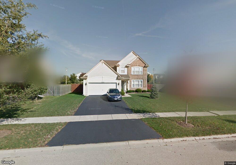
3604 Harms Rd Joliet, IL 60435
Crystal Lawns NeighborhoodEstimated Value: $369,779 - $425,000
4
Beds
3
Baths
1,798
Sq Ft
$221/Sq Ft
Est. Value
About This Home
This home is located at 3604 Harms Rd, Joliet, IL 60435 and is currently estimated at $397,195, approximately $220 per square foot. 3604 Harms Rd is a home located in Will County with nearby schools including Central Elementary School, Indian Trail Middle School, and Plainfield Central High School.
Ownership History
Date
Name
Owned For
Owner Type
Purchase Details
Closed on
Dec 18, 2006
Sold by
Drh Cambridge Homes Inc
Bought by
Swider Wieslaw F and Swider Renata J
Current Estimated Value
Home Financials for this Owner
Home Financials are based on the most recent Mortgage that was taken out on this home.
Original Mortgage
$137,900
Outstanding Balance
$82,265
Interest Rate
6.27%
Mortgage Type
Purchase Money Mortgage
Estimated Equity
$314,930
Create a Home Valuation Report for This Property
The Home Valuation Report is an in-depth analysis detailing your home's value as well as a comparison with similar homes in the area
Home Values in the Area
Average Home Value in this Area
Purchase History
| Date | Buyer | Sale Price | Title Company |
|---|---|---|---|
| Swider Wieslaw F | $268,000 | Chicago Title Insurance Co |
Source: Public Records
Mortgage History
| Date | Status | Borrower | Loan Amount |
|---|---|---|---|
| Open | Swider Wieslaw F | $137,900 |
Source: Public Records
Tax History Compared to Growth
Tax History
| Year | Tax Paid | Tax Assessment Tax Assessment Total Assessment is a certain percentage of the fair market value that is determined by local assessors to be the total taxable value of land and additions on the property. | Land | Improvement |
|---|---|---|---|---|
| 2024 | $6,652 | $100,881 | $26,249 | $74,632 |
| 2023 | $6,652 | $91,114 | $23,708 | $67,406 |
| 2022 | $5,870 | $80,752 | $21,293 | $59,459 |
| 2021 | $5,560 | $75,469 | $19,900 | $55,569 |
| 2020 | $5,473 | $73,327 | $19,335 | $53,992 |
| 2019 | $5,278 | $69,868 | $18,423 | $51,445 |
| 2018 | $5,046 | $65,646 | $17,310 | $48,336 |
| 2017 | $4,891 | $62,384 | $16,450 | $45,934 |
| 2016 | $4,787 | $59,498 | $15,689 | $43,809 |
| 2015 | $4,777 | $55,736 | $14,697 | $41,039 |
| 2014 | $4,777 | $57,211 | $14,178 | $43,033 |
| 2013 | $4,777 | $57,211 | $14,178 | $43,033 |
Source: Public Records
Map
Nearby Homes
- 3714 Harms Rd
- 21533 Cormorant St
- 3511 Sumac Dr
- 21522 Lake st Clair Dr
- 21531 Wolf Lake Way
- 21546 Victory Lake Way Unit 8
- 16400 Crescent Lake Dr
- 16416 Crescent Lake Ct
- 21316 Brush Lake Dr
- 21308 Brush Lake Dr
- 21319 Lily Lake Ln
- 21240 Montclare Lake Dr
- 16163 Seneca Lake Cir
- 16400 Grandwood Lake Dr
- 21201 Lily Lake Ln
- 16415 Grandwood Lake Dr
- 16613 Buckner Pond Way
- 3724 Adesso Ln
- 669 Bridgeman Ln Unit 1
- 733 S Mecosta Ln Unit 2
- 3606 Harms Rd
- 3602 Harms Rd
- 3608 Harms Rd
- 3600 Harms Rd
- 3603 Harms Rd
- 3605 Harms Rd
- 3610 Harms Rd
- 3607 Harms Rd
- 16256 Heron St
- 3601 Harms Rd Unit 2A
- 16300 Heron St
- 3528 Peachtree Ct
- 3526 Peachtree Ct
- 3609 Harms Rd Unit 2A
- 3612 Harms Rd
- 16260 Heron St
- 16264 Heron St
- 16308 Heron St
- 3519 Harms Rd Unit 2A
- 16304 Heron St