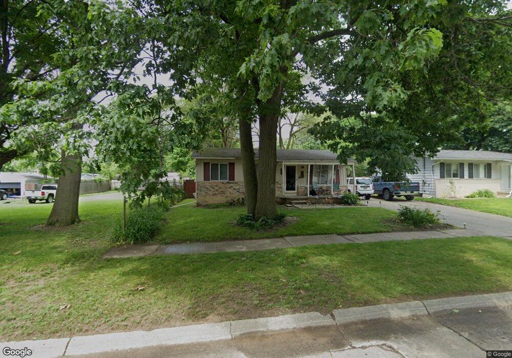
3605 Craig Dr Flint, MI 48506
Potter Longway NeighborhoodEstimated Value: $80,788 - $118,000
3
Beds
1
Bath
937
Sq Ft
$105/Sq Ft
Est. Value
About This Home
This home is located at 3605 Craig Dr, Flint, MI 48506 and is currently estimated at $97,947, approximately $104 per square foot. 3605 Craig Dr is a home located in Genesee County with nearby schools including Potter School, Richfield Public School Academy, and Richfield Early Learning Center.
Ownership History
Date
Name
Owned For
Owner Type
Purchase Details
Closed on
Apr 30, 2004
Sold by
Master Christina A
Bought by
Stevens Donald and Stevens Tammy
Current Estimated Value
Purchase Details
Closed on
Sep 25, 2000
Sold by
Blackstock Mary A and Zavoda Mary A
Bought by
Masters Christina A
Home Financials for this Owner
Home Financials are based on the most recent Mortgage that was taken out on this home.
Original Mortgage
$74,861
Interest Rate
7.98%
Mortgage Type
FHA
Create a Home Valuation Report for This Property
The Home Valuation Report is an in-depth analysis detailing your home's value as well as a comparison with similar homes in the area
Home Values in the Area
Average Home Value in this Area
Purchase History
| Date | Buyer | Sale Price | Title Company |
|---|---|---|---|
| Stevens Donald | $74,900 | Guaranty Title Company | |
| Masters Christina A | $74,900 | Metropolitan Title Company |
Source: Public Records
Mortgage History
| Date | Status | Borrower | Loan Amount |
|---|---|---|---|
| Previous Owner | Masters Christina A | $74,861 |
Source: Public Records
Tax History
| Year | Tax Paid | Tax Assessment Tax Assessment Total Assessment is a certain percentage of the fair market value that is determined by local assessors to be the total taxable value of land and additions on the property. | Land | Improvement |
|---|---|---|---|---|
| 2025 | $948 | $35,000 | $0 | $0 |
| 2024 | $860 | $28,600 | $0 | $0 |
| 2023 | $846 | $23,900 | $0 | $0 |
| 2022 | $0 | $18,600 | $0 | $0 |
| 2021 | $878 | $17,100 | $0 | $0 |
| 2020 | $793 | $15,200 | $0 | $0 |
| 2019 | $774 | $15,200 | $0 | $0 |
| 2018 | $771 | $13,100 | $0 | $0 |
| 2017 | $750 | $0 | $0 | $0 |
| 2016 | $745 | $0 | $0 | $0 |
| 2015 | -- | $0 | $0 | $0 |
| 2014 | -- | $0 | $0 | $0 |
| 2012 | -- | $17,400 | $0 | $0 |
Source: Public Records
Map
Nearby Homes
- 3734 Craig Dr
- 3705 Aldon Ln
- 3413 Dakota Ave
- 3602 Dakota Ave
- 3314 Dakota Ave
- 3210 Wyoming Ave
- 2274 N Center Rd
- 3814 Beechwood Ave
- 3118 Wyoming Ave
- 00 Richfield Rd
- 3010 Wyoming Ave
- 3006 Agree Ave
- 3822 Whittier Ave
- 2719 Branch Rd
- 2146 N Center Rd
- 3018 Dakota Ave
- 3149 Whittier Ave
- 3813 Holly Ave
- 2446 Lanning Dr
- 3614 Holly Ave
- 3611 Craig Dr
- 3541 Craig Dr
- 3610 Craig Dr
- 3602 Craig Dr
- 3623 Craig Dr
- 3537 Craig Dr
- 3620 Wyoming Ave
- 3213 N Dexter St
- 3218 Salishan Cir
- 3629 Craig Dr
- 3614 Wyoming Ave
- 3608 Wyoming Ave
- 3622 Craig Dr Unit Bldg-Unit
- 3622 Craig Dr
- 3534 Craig Dr Unit Bldg-Unit
- 3214 Salishan Cir
- 3209 N Dexter St
- 3533 Craig Dr
- 3602 Wyoming Ave
- 3701 Craig Dr
Your Personal Tour Guide
Ask me questions while you tour the home.