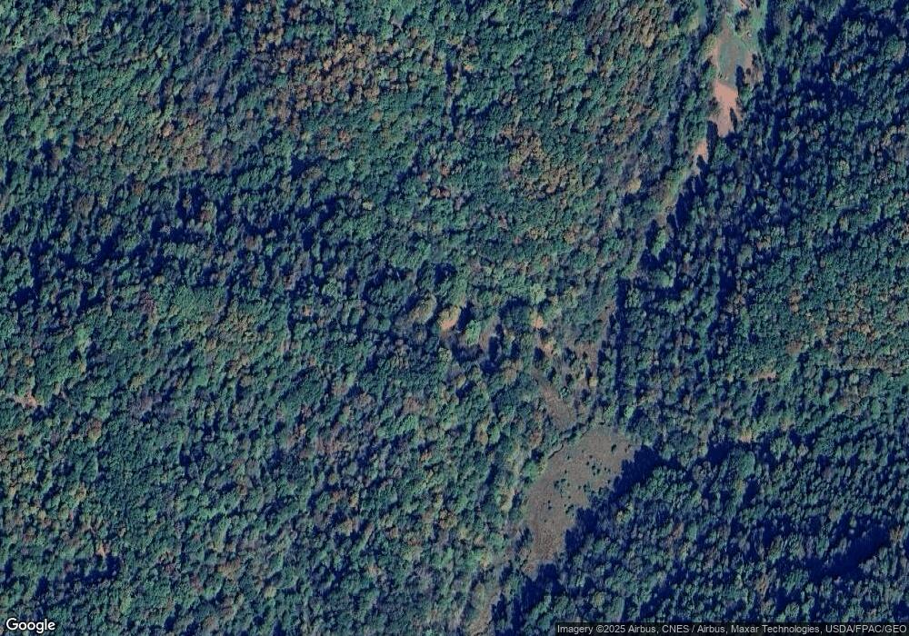
3607 Walnut Fork Alum Bridge, WV 26321
Estimated Value: $109,000 - $122,326
3
Beds
1
Bath
936
Sq Ft
$125/Sq Ft
Est. Value
About This Home
This home is located at 3607 Walnut Fork, Alum Bridge, WV 26321 and is currently estimated at $117,332, approximately $125 per square foot. 3607 Walnut Fork is a home located in Lewis County with nearby schools including Lewis County High School.
Ownership History
Date
Name
Owned For
Owner Type
Purchase Details
Closed on
Feb 6, 2025
Sold by
Maisey Thomas J
Bought by
Hg Energy Ii Appalachia Llc
Current Estimated Value
Purchase Details
Closed on
Jan 13, 2025
Sold by
Beech Grove Cemetery
Bought by
Beech Grove Cemetery Inc
Purchase Details
Closed on
Jun 22, 2024
Sold by
Lang David B
Bought by
Wright Terry Lane and Wright Rebecca Michelle
Purchase Details
Closed on
Jan 19, 2017
Sold by
The Secretary Of Housing And Urban Devel
Bought by
Lang David B
Purchase Details
Closed on
Nov 20, 2008
Sold by
Groash Charles Andrew
Bought by
Groash Charles Andrew and Sprouse Donna K
Create a Home Valuation Report for This Property
The Home Valuation Report is an in-depth analysis detailing your home's value as well as a comparison with similar homes in the area
Home Values in the Area
Average Home Value in this Area
Purchase History
| Date | Buyer | Sale Price | Title Company |
|---|---|---|---|
| Hg Energy Ii Appalachia Llc | $15,775 | None Listed On Document | |
| Hg Energy Ii Appalachia Llc | $15,775 | None Listed On Document | |
| Beech Grove Cemetery Inc | -- | None Listed On Document | |
| Beech Grove Cemetery Inc | -- | None Listed On Document | |
| Wright Terry Lane | $115,000 | None Listed On Document | |
| Lang David B | $57,500 | None Available | |
| Groash Charles Andrew | -- | -- |
Source: Public Records
Tax History Compared to Growth
Tax History
| Year | Tax Paid | Tax Assessment Tax Assessment Total Assessment is a certain percentage of the fair market value that is determined by local assessors to be the total taxable value of land and additions on the property. | Land | Improvement |
|---|---|---|---|---|
| 2024 | $702 | $70,920 | $49,920 | $21,000 |
| 2023 | $610 | $66,600 | $46,080 | $20,520 |
| 2022 | $1,155 | $65,220 | $45,000 | $20,220 |
| 2021 | $1,149 | $64,860 | $44,700 | $20,160 |
| 2020 | $1,126 | $63,600 | $43,860 | $19,740 |
| 2019 | $374 | $61,920 | $42,240 | $19,680 |
| 2018 | $1,092 | $61,680 | $42,240 | $19,440 |
| 2017 | $1,008 | $57,840 | $41,040 | $16,800 |
| 2016 | $1,019 | $55,500 | $38,700 | $16,800 |
| 2015 | $528 | $57,540 | $40,800 | $16,740 |
| 2014 | $515 | $56,100 | $39,300 | $16,800 |
Source: Public Records
Map
Nearby Homes
- 1170 Straight Run Rd
- 519 Back Fork of Alum Rd
- 45 Antler Ridge
- 000 Buck Run Rd
- 0 Buck Run Rd Unit Lot WP001
- 3831 Churchville Rd
- 3011 Crooked Run Rd
- 130 AC Huckleberry Rd
- 3892 Us Highway 33 W
- 711 Bear Fork Rd
- 205 Wv Hwy 18
- 872 Cove Lick Rd
- 0/TBD Right Loveberry Rd
- Loveberry Run Rd
- 64 Polk St
- 8557 Copley Rd
- 0 Wolfpen Rd
- 441 Aspin Rd
- 6272 Us Hwy 33e
- 1758 Valley Chapel Rd
