361 Capser Rd La Pointe, WI 54850
Estimated Value: $891,000 - $1,025,782
Studio
--
Bath
--
Sq Ft
67,518
Sq Ft Lot
About This Home
This home is located at 361 Capser Rd, La Pointe, WI 54850 and is currently estimated at $944,594. 361 Capser Rd is a home with nearby schools including Bayfield High School.
Ownership History
Date
Name
Owned For
Owner Type
Purchase Details
Closed on
Nov 30, 2023
Sold by
Schwarz Kurt C
Bought by
Kurt C. Schwarz and Kurt Sally J.T.
Current Estimated Value
Purchase Details
Closed on
Aug 25, 2017
Sold by
Bristol Robert H and Bristol Theodore W
Bought by
Wall John K and Wall Patricia E
Home Financials for this Owner
Home Financials are based on the most recent Mortgage that was taken out on this home.
Original Mortgage
$446,250
Interest Rate
3.92%
Mortgage Type
New Conventional
Create a Home Valuation Report for This Property
The Home Valuation Report is an in-depth analysis detailing your home's value as well as a comparison with similar homes in the area
Purchase History
| Date | Buyer | Sale Price | Title Company |
|---|---|---|---|
| Kurt C. Schwarz | $638,900 | Ashley Stokes | |
| Wall John K | $59,500 | None Available |
Source: Public Records
Mortgage History
| Date | Status | Borrower | Loan Amount |
|---|---|---|---|
| Previous Owner | Wall John K | $446,250 |
Source: Public Records
Tax History
| Year | Tax Paid | Tax Assessment Tax Assessment Total Assessment is a certain percentage of the fair market value that is determined by local assessors to be the total taxable value of land and additions on the property. | Land | Improvement |
|---|---|---|---|---|
| 2025 | $17,273 | $795,000 | $360,500 | $434,500 |
| 2024 | $16,367 | $795,000 | $360,500 | $434,500 |
| 2023 | $16,259 | $638,900 | $300,000 | $338,900 |
| 2022 | $15,070 | $638,900 | $300,000 | $338,900 |
| 2021 | $15,006 | $638,900 | $300,000 | $338,900 |
| 2020 | $14,605 | $638,900 | $300,000 | $338,900 |
| 2019 | $13,847 | $638,900 | $300,000 | $338,900 |
| 2018 | $13,023 | $638,900 | $300,000 | $338,900 |
| 2017 | $12,752 | $638,900 | $300,000 | $338,900 |
| 2016 | $12,775 | $638,900 | $300,000 | $338,900 |
| 2015 | $19,705 | $936,900 | $351,100 | $585,800 |
| 2014 | $17,812 | $975,900 | $390,100 | $585,800 |
| 2013 | $18,463 | $975,900 | $390,100 | $585,800 |
Source: Public Records
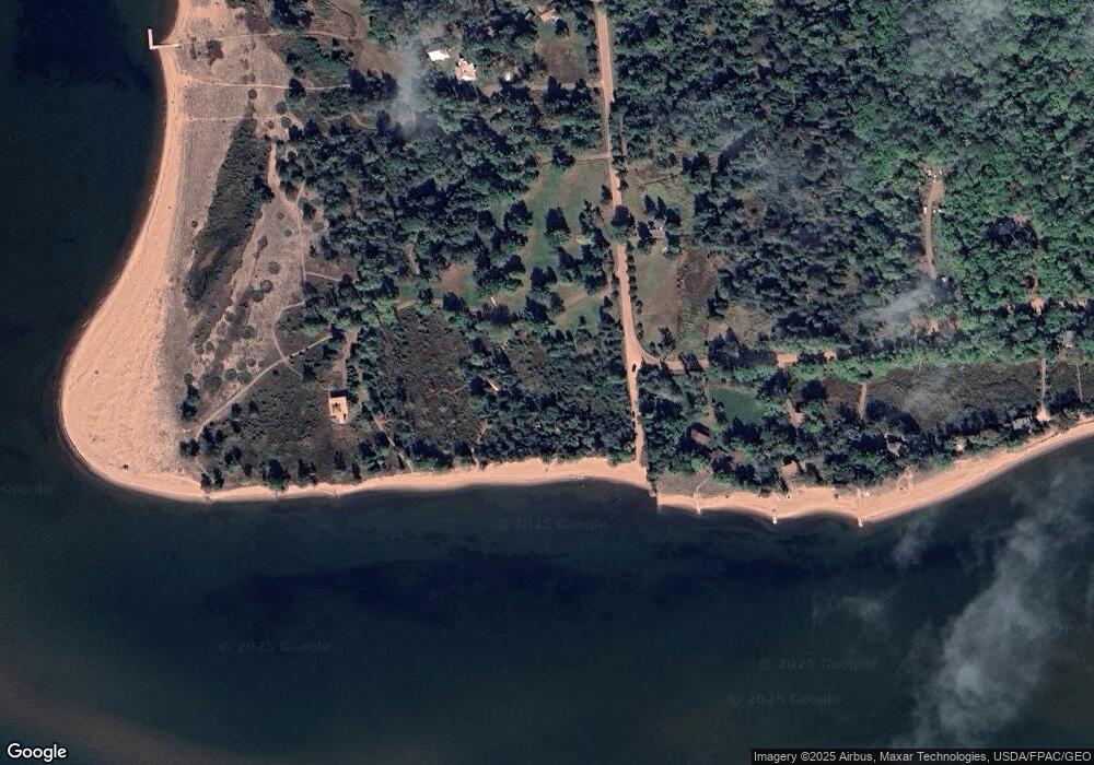
Map
Nearby Homes
- Lot 2, Block 2 Raspberry Trail
- Lot 3, Block 1 Raspberry Trail
- Lot 6, Block 1 Raspberry Trail
- Lot 5 Raspberry Trail
- Lot 1, Block 1 Raspberry Trail
- 804 Middle Rd
- 1117 S Shore Rd
- 1161 Middle Rd
- XXX Old San Rd Unit 12
- XXX Old San Rd Unit 11
- XXX Old San Rd Unit TBD-Farmhouse
- XXX Old San Rd Unit TBD- Woodland
- XXX Old San Rd Unit 16
- XXX Old San Rd Unit TBD-Field Pair
- 84860 Old San Rd Unit T4
- 84195 State Highway 13
- Lots 1-5 Wilson Ave
- 107 S 4th St
- 11XXX Old Military Rd
- 33 S 4th St
Your Personal Tour Guide
Ask me questions while you tour the home.