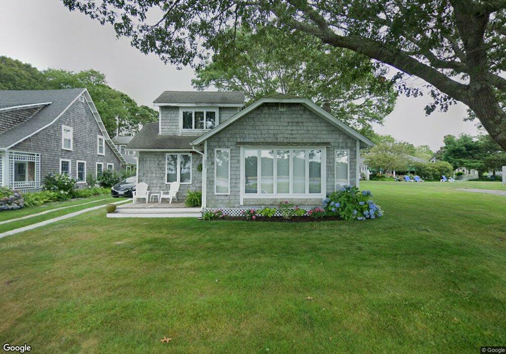
361 Circuit Ave Pocasset, MA 02559
Pocasset NeighborhoodEstimated Value: $802,000 - $1,183,000
3
Beds
2
Baths
1,201
Sq Ft
$818/Sq Ft
Est. Value
About This Home
This home is located at 361 Circuit Ave, Pocasset, MA 02559 and is currently estimated at $982,480, approximately $818 per square foot. 361 Circuit Ave is a home located in Barnstable County with nearby schools including Bourne High School and Cadence Academy Preschool - Bourne.
Ownership History
Date
Name
Owned For
Owner Type
Purchase Details
Closed on
Dec 29, 1992
Sold by
Mcdonald Lawrence G
Bought by
Abbott Mark L and Ostar Lisabeth H
Current Estimated Value
Home Financials for this Owner
Home Financials are based on the most recent Mortgage that was taken out on this home.
Original Mortgage
$145,750
Interest Rate
8.31%
Mortgage Type
Purchase Money Mortgage
Create a Home Valuation Report for This Property
The Home Valuation Report is an in-depth analysis detailing your home's value as well as a comparison with similar homes in the area
Home Values in the Area
Average Home Value in this Area
Purchase History
| Date | Buyer | Sale Price | Title Company |
|---|---|---|---|
| Abbott Mark L | $190,750 | -- | |
| Abbott Mark L | $190,750 | -- |
Source: Public Records
Mortgage History
| Date | Status | Borrower | Loan Amount |
|---|---|---|---|
| Open | Abbott Mark L | $200,000 | |
| Closed | Abbott Mark L | $145,000 | |
| Closed | Abbott Mark L | $145,750 |
Source: Public Records
Tax History Compared to Growth
Tax History
| Year | Tax Paid | Tax Assessment Tax Assessment Total Assessment is a certain percentage of the fair market value that is determined by local assessors to be the total taxable value of land and additions on the property. | Land | Improvement |
|---|---|---|---|---|
| 2025 | $7,680 | $983,300 | $692,000 | $291,300 |
| 2024 | $7,510 | $936,400 | $659,000 | $277,400 |
| 2023 | $7,952 | $902,600 | $656,200 | $246,400 |
| 2022 | $8,367 | $829,200 | $632,300 | $196,900 |
| 2021 | $8,191 | $760,500 | $575,400 | $185,100 |
| 2020 | $8,018 | $746,600 | $570,000 | $176,600 |
| 2019 | $7,748 | $737,200 | $570,000 | $167,200 |
| 2018 | $7,456 | $707,400 | $542,900 | $164,500 |
| 2017 | $6,974 | $677,100 | $537,800 | $139,300 |
| 2016 | $6,820 | $671,300 | $537,800 | $133,500 |
| 2015 | $6,760 | $671,300 | $537,800 | $133,500 |
Source: Public Records
Map
Nearby Homes
- 89 Harbor Dr
- 171 Bellavista Dr
- 34 Kenwood Rd
- 45 Kenwood Rd
- 70 Wings Neck Rd
- 24 Richmond Rd
- 22 Nairn Rd
- 48 Red Brook Harbor Rd
- 14 Navajo Rd
- 3 Red Brook Pond Dr
- 254 Barlows Landing Rd
- 75 Winsor Rd
- 1094 County Rd
- 940 County Rd
- 461 Wings Neck Rd
- 709 County Rd
- 10 Squeteague Harbor Rd
- 940 County Rd
- 250 Scraggy Neck Rd
- 357 Circuit Ave
- 371 Circuit Ave
- 353 Circuit Ave
- 10 Hope Ave
- 349 Circuit Ave
- 20 Hope Ave
- 379 Circuit Ave
- 51 Circuit Ave
- 333 Circuit Ave
- 22 Hope Ave
- 344 Circuit Ave
- 350 Circuit Ave
- 331 Circuit Ave
- 354 Circuit Ave
- 346 Circuit Ave
- 385 Circuit Ave
- 340 Circuit Ave
- 15 Hope Ave Unit 17
- 332 Circuit Ave
- 30 Hope Ave