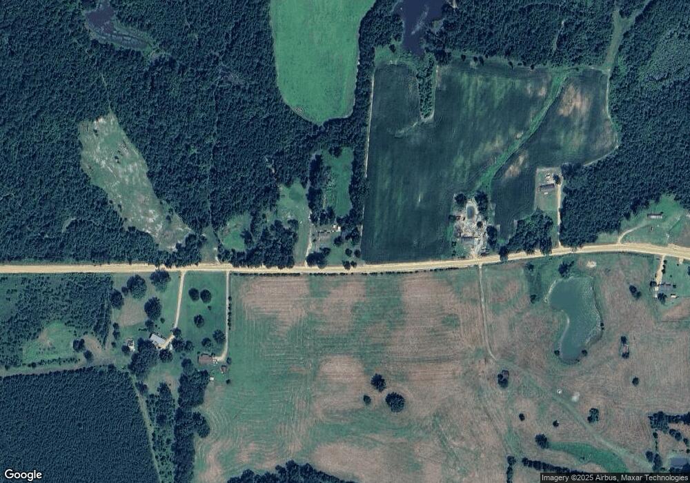
361 Gilreath Rd West Point, MS 39773
Estimated Value: $112,000 - $290,000
2
Beds
--
Bath
1,310
Sq Ft
$165/Sq Ft
Est. Value
About This Home
This home is located at 361 Gilreath Rd, West Point, MS 39773 and is currently estimated at $216,764, approximately $165 per square foot. 361 Gilreath Rd is a home with nearby schools including West Clay Elementary School, East Side Elementary School, and Church Hill Elementary School.
Create a Home Valuation Report for This Property
The Home Valuation Report is an in-depth analysis detailing your home's value as well as a comparison with similar homes in the area
Home Values in the Area
Average Home Value in this Area
Tax History Compared to Growth
Tax History
| Year | Tax Paid | Tax Assessment Tax Assessment Total Assessment is a certain percentage of the fair market value that is determined by local assessors to be the total taxable value of land and additions on the property. | Land | Improvement |
|---|---|---|---|---|
| 2024 | $914 | $15,018 | $2,530 | $12,488 |
| 2023 | $1,494 | $12,833 | $2,594 | $10,239 |
| 2022 | $164 | $9,236 | $2,410 | $6,826 |
| 2021 | $167 | $9,312 | $2,486 | $6,826 |
| 2020 | $172 | $9,388 | $2,562 | $6,826 |
| 2019 | $180 | $9,680 | $2,622 | $7,058 |
| 2018 | $180 | $9,738 | $2,680 | $7,058 |
| 2017 | $183 | $9,787 | $2,526 | $7,261 |
| 2016 | $177 | $9,710 | $2,449 | $7,261 |
| 2015 | $66 | $3,258 | $2,168 | $1,090 |
| 2014 | $66 | $3,104 | $2,014 | $1,090 |
| 2013 | $66 | $2,983 | $1,893 | $1,090 |
Source: Public Records
Map
Nearby Homes
- 0 Happy Hollow Rd
- 0 Firetower Rd Unit 25-1097
- 0 Bud Thompson Rd
- County Rd 166
- 1842 Baker Rd
- 0 Highway 8 E
- 3655 Brand-Una Rd
- 0 County Road 92
- 436 Baker Rd
- 0 Dixie Rd Unit LotWP001 19523079
- 283 County Road 93
- 0 Mississippi 47
- 97 Ivy Rd
- 0 Bill Dexter Rd Unit LotWP001 24537982
- 0 Bill Dexter Rd
- 0
- 0 County Road 173
- 0 Mississippi 46
- Hwy 47 Unit LotWP001
- 862 Highway 389
