361 Juniper Rd Somers, MT 59932
Estimated Value: $676,998 - $858,000
3
Beds
2
Baths
2,363
Sq Ft
$319/Sq Ft
Est. Value
About This Home
This home is located at 361 Juniper Rd, Somers, MT 59932 and is currently estimated at $754,750, approximately $319 per square foot. 361 Juniper Rd is a home located in Flathead County with nearby schools including Lakeside Elementary School, Somers Middle School, and Flathead High School.
Ownership History
Date
Name
Owned For
Owner Type
Purchase Details
Closed on
Mar 21, 2007
Sold by
Culley Matthew R and Culley Lisa Marie
Bought by
Stuker Dallas
Current Estimated Value
Home Financials for this Owner
Home Financials are based on the most recent Mortgage that was taken out on this home.
Original Mortgage
$63,215
Outstanding Balance
$38,368
Interest Rate
6.31%
Mortgage Type
FHA
Estimated Equity
$716,382
Create a Home Valuation Report for This Property
The Home Valuation Report is an in-depth analysis detailing your home's value as well as a comparison with similar homes in the area
Purchase History
| Date | Buyer | Sale Price | Title Company |
|---|---|---|---|
| Stuker Dallas | -- | Alliance Title |
Source: Public Records
Mortgage History
| Date | Status | Borrower | Loan Amount |
|---|---|---|---|
| Open | Stuker Dallas | $63,215 |
Source: Public Records
Tax History
| Year | Tax Paid | Tax Assessment Tax Assessment Total Assessment is a certain percentage of the fair market value that is determined by local assessors to be the total taxable value of land and additions on the property. | Land | Improvement |
|---|---|---|---|---|
| 2025 | $2,447 | $678,100 | $0 | $0 |
| 2024 | $3,078 | $563,700 | $0 | $0 |
| 2023 | $3,885 | $563,700 | $0 | $0 |
| 2022 | $2,660 | $366,600 | $0 | $0 |
| 2021 | $2,884 | $366,600 | $0 | $0 |
| 2020 | $3,622 | $349,102 | $0 | $0 |
| 2019 | $3,514 | $349,102 | $0 | $0 |
| 2018 | $3,342 | $312,200 | $0 | $0 |
| 2017 | $2,880 | $312,200 | $0 | $0 |
| 2016 | $2,638 | $288,438 | $0 | $0 |
| 2015 | $2,714 | $288,438 | $0 | $0 |
| 2014 | $2,134 | $172,144 | $0 | $0 |
Source: Public Records
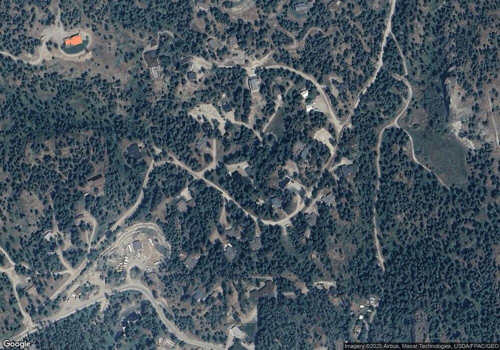
Map
Nearby Homes
- 380 S Eighty Dr
- Nhn (Tract 10) Boon Rd
- Nhn (Tract 7) Boon Rd
- Nhn (Tract 9) Boon Rd
- 118 Valley Vista Dr
- 195 Breezy Point Ave
- NHN Montana 82
- Tr 8,9,10 Montana 82
- NKN Montana 82
- 1164 Montana 82
- 936 Montana 82
- 396 N Juniper Bay Rd Unit 15
- 131 Snow Dust Place
- 685 N Juniper Bay Rd
- 1183 Mackinaw Loop
- 1237 Mackinaw Loop
- 395 Buffalo Ln
- 433, 437 & 439 Buffalo Trail
- 439 Buffalo Trail
- 433 Buffalo Trail
- 365 S Eighty Dr
- 368 S Eighty Dr
- 373 S Eighty Dr
- 381 S Eighty Dr
- Nhn S Eighty Dr
- 381 S 80 Dr
- 409 S Eighty Dr
- Lot 24 S Eighty Dr
- Lot 26 S Eighty Dr
- Lot 23 S Eighty Dr
- 389 S Eighty Dr
- 366 S Eighty Dr
- 405 S Eighty Dr
- 404 S Eighty Dr
- 377 S Eighty Dr
- 333 S 80 Dr
- 362 S 80 Dr
- 362 S Eighty Dr
- 349 Juniper Rd
- 364 S 80 Dr
Your Personal Tour Guide
Ask me questions while you tour the home.