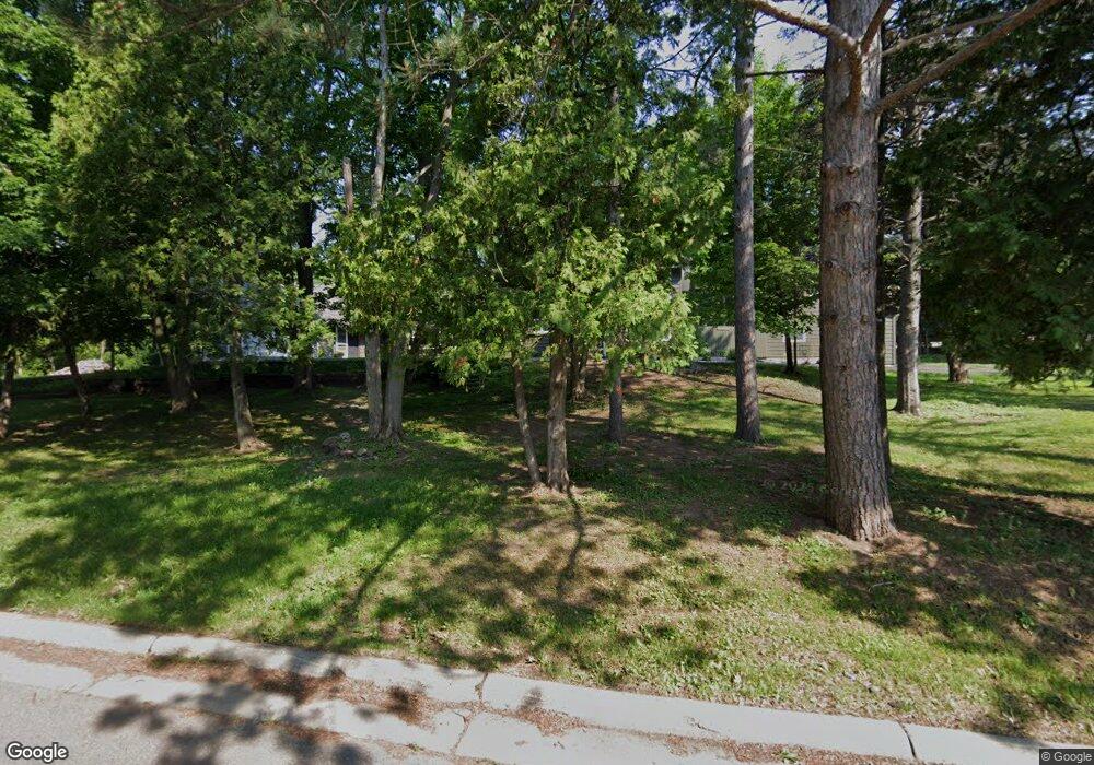
361 Leicester Ave Duluth, MN 55803
Morley Heights-Parkview NeighborhoodEstimated Value: $449,000 - $534,000
5
Beds
4
Baths
2,642
Sq Ft
$181/Sq Ft
Est. Value
About This Home
This home is located at 361 Leicester Ave, Duluth, MN 55803 and is currently estimated at $478,094, approximately $180 per square foot. 361 Leicester Ave is a home located in St. Louis County with nearby schools including Congdon Elementary School, Ordean East Middle School, and East High School.
Ownership History
Date
Name
Owned For
Owner Type
Purchase Details
Closed on
Dec 5, 2023
Sold by
Ronald L Robb Trust
Bought by
Otto Emily and Otto James
Current Estimated Value
Home Financials for this Owner
Home Financials are based on the most recent Mortgage that was taken out on this home.
Original Mortgage
$352,333
Outstanding Balance
$325,120
Interest Rate
7.03%
Mortgage Type
New Conventional
Estimated Equity
$152,974
Create a Home Valuation Report for This Property
The Home Valuation Report is an in-depth analysis detailing your home's value as well as a comparison with similar homes in the area
Home Values in the Area
Average Home Value in this Area
Purchase History
| Date | Buyer | Sale Price | Title Company |
|---|---|---|---|
| Otto Emily | $350,000 | None Listed On Document |
Source: Public Records
Mortgage History
| Date | Status | Borrower | Loan Amount |
|---|---|---|---|
| Open | Otto Emily | $352,333 |
Source: Public Records
Tax History Compared to Growth
Tax History
| Year | Tax Paid | Tax Assessment Tax Assessment Total Assessment is a certain percentage of the fair market value that is determined by local assessors to be the total taxable value of land and additions on the property. | Land | Improvement |
|---|---|---|---|---|
| 2024 | $5,932 | $439,000 | $86,800 | $352,200 |
| 2023 | $5,932 | $428,000 | $68,500 | $359,500 |
| 2022 | $5,102 | $371,200 | $59,500 | $311,700 |
| 2021 | $4,894 | $317,000 | $51,100 | $265,900 |
| 2020 | $5,036 | $311,000 | $50,000 | $261,000 |
| 2019 | $4,330 | $311,000 | $50,000 | $261,000 |
| 2018 | $3,970 | $273,300 | $51,200 | $222,100 |
| 2017 | $3,720 | $268,800 | $50,700 | $218,100 |
| 2016 | $3,466 | $117,900 | $12,000 | $105,900 |
| 2015 | $3,171 | $228,300 | $48,900 | $179,400 |
| 2014 | $3,171 | $204,200 | $14,200 | $190,000 |
Source: Public Records
Map
Nearby Homes
- 1123 Valley Dr
- 535 Glenwood St
- 2xxx Harvard Ave
- 2234 Dunedin Ave
- 44xx Vermilion Rd
- 3406 E 4th St
- 6 Minneapolis Ave
- 3725 N Ridge Rd
- 3731 London Rd
- 3735 London Rd Unit 16
- 3735 London Rd
- 3725 London Rd
- 3631 London Rd
- 116 E Mankato St
- 4225 Gladstone St
- 4217 Peabody St
- 937 W Arrowhead Rd
- 2525 E 1st St
- 4315 E Superior St
- 2418 E 4th St
- 360 Mygatt Ave
- 345 Leicester Ave
- 368 Mygatt Ave
- 350 Mygatt Ave
- 364 Leicester Ave
- 360 Leicester Ave
- 356 Leicester Ave
- 337 Leicester Ave
- 401 Leicester Ave
- 352 Leicester Ave
- 348 Leicester Ave
- 402 Leicester Ave
- 2216 Livingston Ave
- 340 Mygatt Ave
- 329 Leicester Ave
- 344 Leicester Ave
- 405 Leicester Ave
- 365 Mygatt Ave
- 2224 Livingston Ave
- 2224 2224 Livingston Ave
