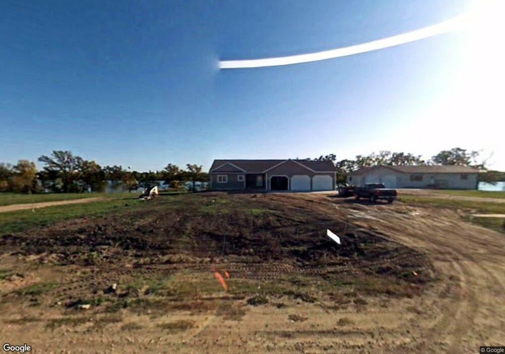
361 N Shore Dr Underwood, MN 56586
Estimated Value: $443,000 - $520,963
4
Beds
3
Baths
1,582
Sq Ft
$305/Sq Ft
Est. Value
About This Home
This home is located at 361 N Shore Dr, Underwood, MN 56586 and is currently estimated at $482,741, approximately $305 per square foot. 361 N Shore Dr is a home with nearby schools including Underwood Elementary School and Underwood Secondary School.
Ownership History
Date
Name
Owned For
Owner Type
Purchase Details
Closed on
Mar 24, 2022
Sold by
Liebl Thomas and Liebl Diane
Bought by
Koppang Kevin and Koppang Jane
Current Estimated Value
Home Financials for this Owner
Home Financials are based on the most recent Mortgage that was taken out on this home.
Original Mortgage
$500,000
Outstanding Balance
$465,934
Interest Rate
3.69%
Mortgage Type
New Conventional
Estimated Equity
$16,807
Create a Home Valuation Report for This Property
The Home Valuation Report is an in-depth analysis detailing your home's value as well as a comparison with similar homes in the area
Home Values in the Area
Average Home Value in this Area
Purchase History
| Date | Buyer | Sale Price | Title Company |
|---|---|---|---|
| Koppang Kevin | $500,000 | -- |
Source: Public Records
Mortgage History
| Date | Status | Borrower | Loan Amount |
|---|---|---|---|
| Open | Koppang Kevin | $500,000 |
Source: Public Records
Tax History Compared to Growth
Tax History
| Year | Tax Paid | Tax Assessment Tax Assessment Total Assessment is a certain percentage of the fair market value that is determined by local assessors to be the total taxable value of land and additions on the property. | Land | Improvement |
|---|---|---|---|---|
| 2025 | $5,522 | $495,500 | $84,800 | $410,700 |
| 2024 | $5,156 | $479,600 | $80,800 | $398,800 |
| 2023 | $4,258 | $363,200 | $68,800 | $294,400 |
| 2022 | $4,020 | $425,800 | $0 | $0 |
| 2021 | $4,020 | $363,200 | $68,800 | $294,400 |
| 2020 | $3,980 | $315,800 | $48,100 | $267,700 |
| 2019 | $3,878 | $300,000 | $49,700 | $250,300 |
| 2018 | $3,882 | $300,000 | $49,700 | $250,300 |
| 2017 | $3,274 | $291,200 | $50,500 | $240,700 |
| 2016 | $3,234 | $244,200 | $60,700 | $183,500 |
| 2015 | $3,184 | $0 | $0 | $0 |
| 2014 | -- | $243,900 | $55,600 | $188,300 |
Source: Public Records
Map
Nearby Homes
- 163 N Shore Dr
- 106 Highland Ave E
- 23245 County Highway 35
- 30769 200th St
- 23898 324th Ave
- 26373 Anna Lake Rd
- 20710 Oakdale Rd
- 24960 Wall Lake Point Cir
- 29216 Pleasant Lake Rd
- 29151 Pleasant Lake Rd
- 24744 Mound Rd
- 27306 289th Ave
- 24135 Aurdal River Rd
- 24543 County Highway 124
- 23725 240th Ave
- 34XXX Fiske View Dr
- 28023 County Highway 1
- TBD 340th Ave
- 30409 County Highway 1
- 30587 Mikes Ln
- 373 N Shore Dr
- 351 N Shore Dr
- Lot 6 Blk 1 Gronner Addition St
- Lot 3 Blk 1 Gronner Addition St
- Lot 8blk 1 Gronner Addition St
- Lot 5 Blk 1 Gronner Addition St
- Lot 7 Blk 1 Gronner Addition St
- 307 N Shore Dr
- Lot 4 Blk 1 Gronner Addition St
- 23925 Norway Lake Rd
- LOT 14 Norway Lake Rd
- Lot 9 Norway Lake Rd
- Lot 3 Blk 1 Gronner Addition St
- Lot 2 Blk 1 Gronner Addition St
- 445 N Shore Dr
- Lot 15 Blk 1 Gronner Addition
- Lot 1 Blk 2 Gronners Addition St
- Lot 16 Blk 1 Gronner Addition St
- 155 N Shore Dr
- 415 N Shore Dr