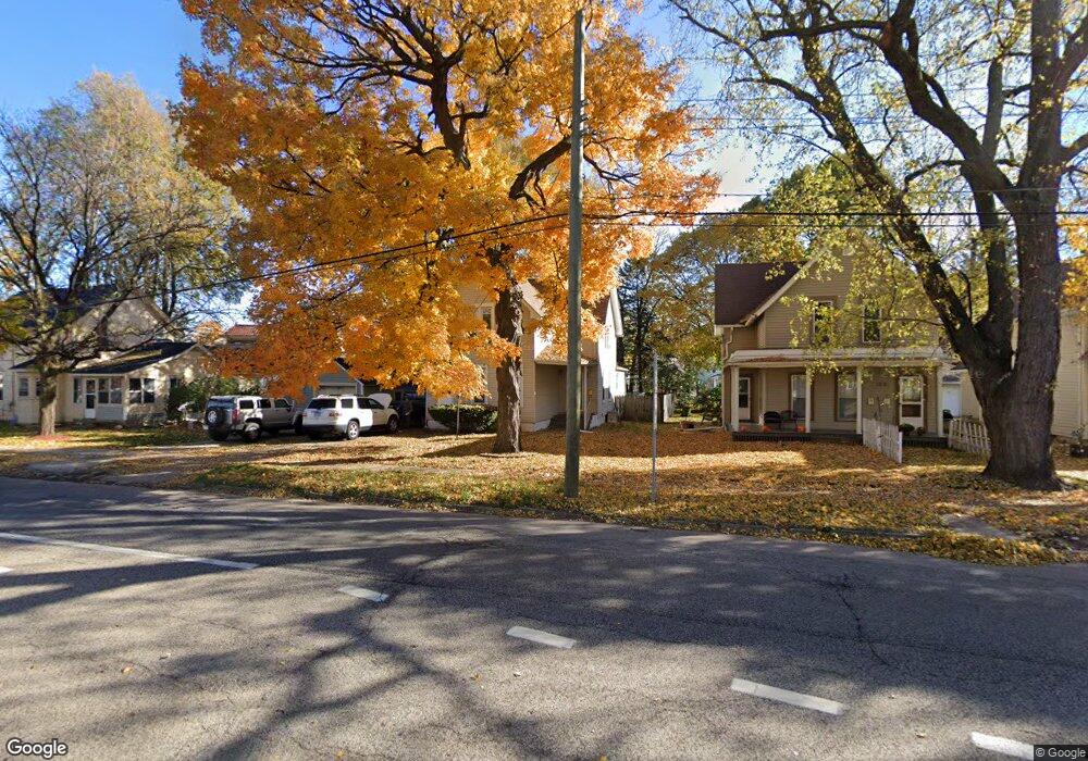
361 S State St Elgin, IL 60123
Southwest Elgin NeighborhoodEstimated Value: $269,973 - $319,000
3
Beds
2
Baths
1,872
Sq Ft
$155/Sq Ft
Est. Value
About This Home
This home is located at 361 S State St, Elgin, IL 60123 and is currently estimated at $289,243, approximately $154 per square foot. 361 S State St is a home located in Kane County with nearby schools including Lowrie Elementary School, Abbott Middle School, and Larkin High School.
Ownership History
Date
Name
Owned For
Owner Type
Purchase Details
Closed on
Jun 27, 1997
Sold by
Lowery Carroll G and Lowery Sharon K
Bought by
Gierens Marshall and Gierens Denise L
Current Estimated Value
Home Financials for this Owner
Home Financials are based on the most recent Mortgage that was taken out on this home.
Original Mortgage
$89,724
Outstanding Balance
$13,430
Interest Rate
8%
Mortgage Type
FHA
Estimated Equity
$275,813
Create a Home Valuation Report for This Property
The Home Valuation Report is an in-depth analysis detailing your home's value as well as a comparison with similar homes in the area
Home Values in the Area
Average Home Value in this Area
Purchase History
| Date | Buyer | Sale Price | Title Company |
|---|---|---|---|
| Gierens Marshall | $90,000 | Chicago Title & Trust Compan |
Source: Public Records
Mortgage History
| Date | Status | Borrower | Loan Amount |
|---|---|---|---|
| Open | Gierens Marshall | $89,724 |
Source: Public Records
Tax History
| Year | Tax Paid | Tax Assessment Tax Assessment Total Assessment is a certain percentage of the fair market value that is determined by local assessors to be the total taxable value of land and additions on the property. | Land | Improvement |
|---|---|---|---|---|
| 2024 | $5,327 | $74,564 | $10,791 | $63,773 |
| 2023 | $5,060 | $67,363 | $9,749 | $57,614 |
| 2022 | $4,806 | $61,423 | $8,889 | $52,534 |
| 2021 | $4,588 | $57,427 | $8,311 | $49,116 |
| 2020 | $4,453 | $54,823 | $7,934 | $46,889 |
| 2019 | $4,317 | $52,223 | $7,558 | $44,665 |
| 2018 | $4,271 | $49,197 | $7,120 | $42,077 |
| 2017 | $4,167 | $46,509 | $6,731 | $39,778 |
| 2016 | $3,962 | $43,148 | $6,245 | $36,903 |
| 2015 | -- | $39,549 | $5,724 | $33,825 |
| 2014 | -- | $39,060 | $5,653 | $33,407 |
| 2013 | -- | $40,090 | $5,802 | $34,288 |
Source: Public Records
Map
Nearby Homes
- 7 National St Unit 7
- 50 S State St
- 331 Orange St
- 251 Bartlett Place
- 455 Walnut Ave
- 262 Bartlett Place
- 518 Raymond St
- 277 Gifford Place
- 208 Moseley St
- 552 Walnut Ave
- 332-334 St Charles St
- 96 S Crystal St
- 216 Prairie St
- 483 Barrett St
- 457 Arlington Ave
- 450 Villa St
- 315 Vandalia St
- 9 N Jackson St
- 631 Bent St
- 756 Walnut Ave
- 365 S State St
- 159 Washburn St
- 163 Washburn St
- 371 S State St
- 371 S State St Unit 1
- 371 S State St Unit 2
- 360 Ryerson Ave
- 375 S State St
- 366 Ryerson Ave
- 155 Washburn St
- 370 Ryerson Ave
- 172 Oak St
- 379 S State St
- 374 Ryerson Ave
- 168 Oak St
- 360 S State St
- 360 S State St Unit 2
- 360 S State St Unit 1
- 366 S State St
- 352 S State St Unit 54
Your Personal Tour Guide
Ask me questions while you tour the home.